Region: Fiordland, Wanaka, Mackenzie Basin
Travel Dates: December 9 – December 18
There is a saying among hikers that there is no such thing as bad weather, only bad gear. But there is also a corollary to that rule: there is no such thing as bad gear, only stupid decisions.
I was sitting on the bus from Te Anau to Te Anau Downs, watching the rain streak the windows, when I looked down at my feet. I was wearing my Salomon trail runners—light, flexible shoes designed for short, fast bursts on dirt, not for multi-day slogs through mud. In my bag, back at the hostel, sat my heavy-duty Mammut hiking boots, the ones that have carried me over glaciers and mountain passes without a single blister. I had simply forgotten to change them. I was about to start the Milford Track, a 53.5-kilometer journey through one of the wettest places on Earth, in shoes that were effectively sponges.
The Finest Walk in the World?
The Milford Track carries a weight of expectation that few trails can match. Its fame was cemented in 1908 when the poet Blanche Baughan wrote an article for the London Spectator, dubbing it “The Finest Walk in the World.” Since then, it has become the holy grail of New Zealand tramping. Tickets sell out in minutes, months in advance. Securing a slot is like winning the lottery; I had snagged a cancellation by sheer luck the day before. The history of the track is as deep as the valleys it traverses. Long before tourists arrived, this was a pounamu (greenstone) trail for the Maori people, who used it to transport the precious stone from the West Coast. In 1888, the explorer Quintin McKinnon was commissioned to find an overland route for tourists. He battled through the thick bush and over the pass that now bears his name, eventually establishing the first guided walks. He cooked birds he caught along the way and made “pompolonas”—scones made from mutton fat candles—to survive.
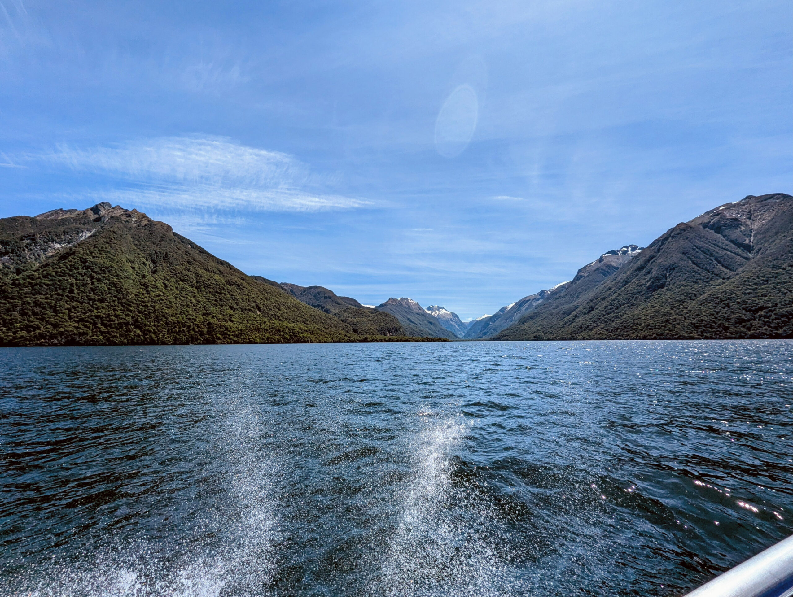
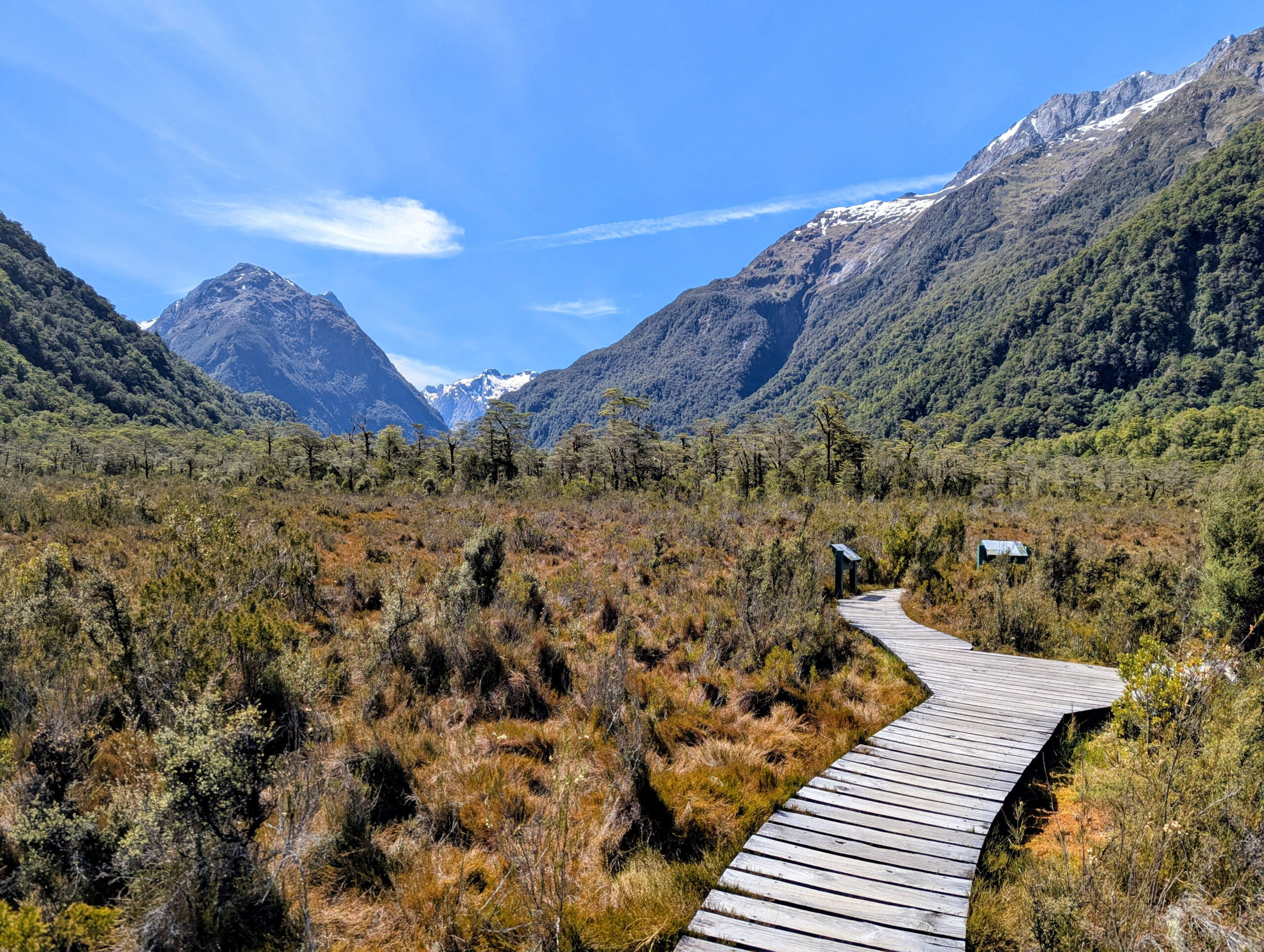
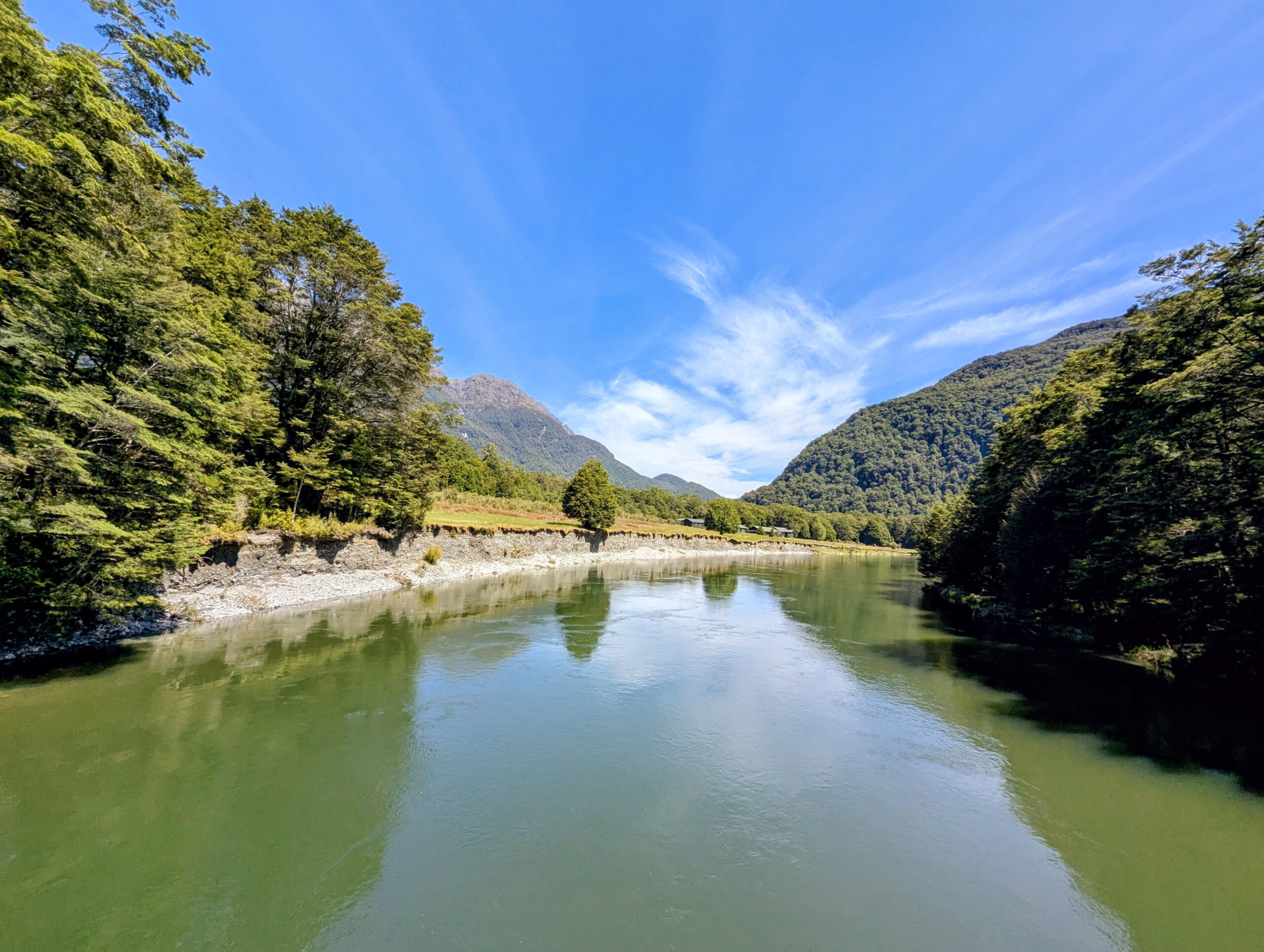
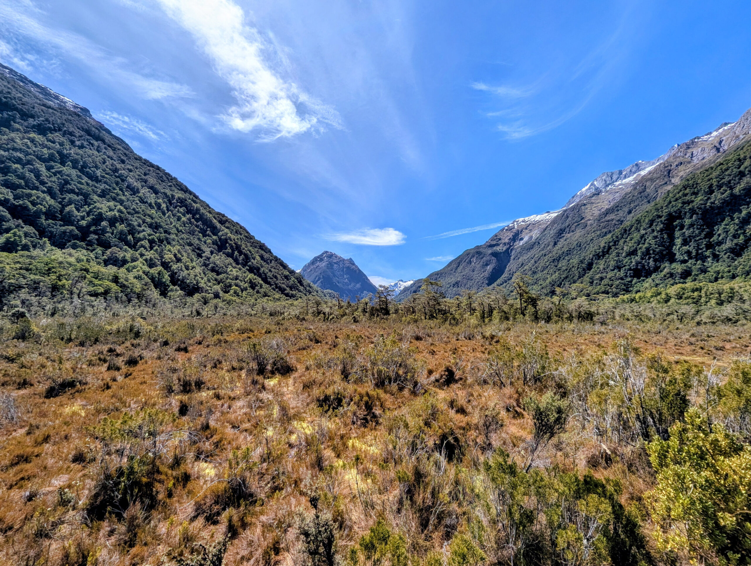
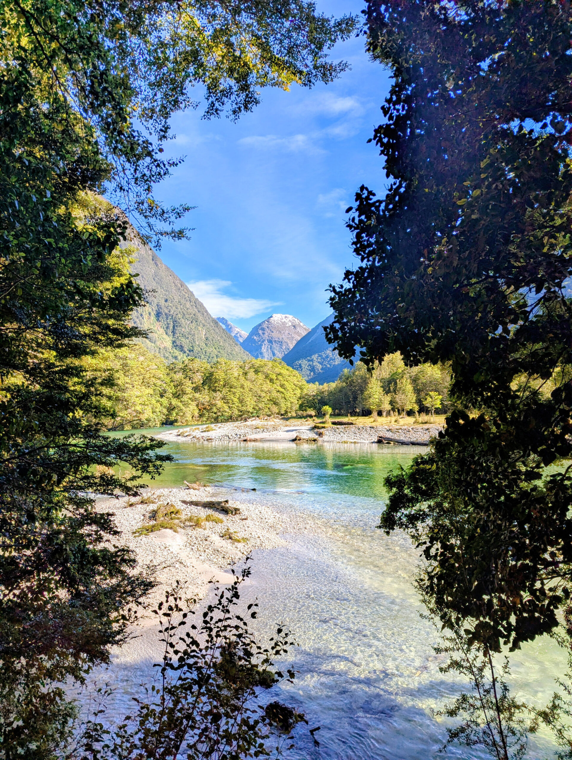
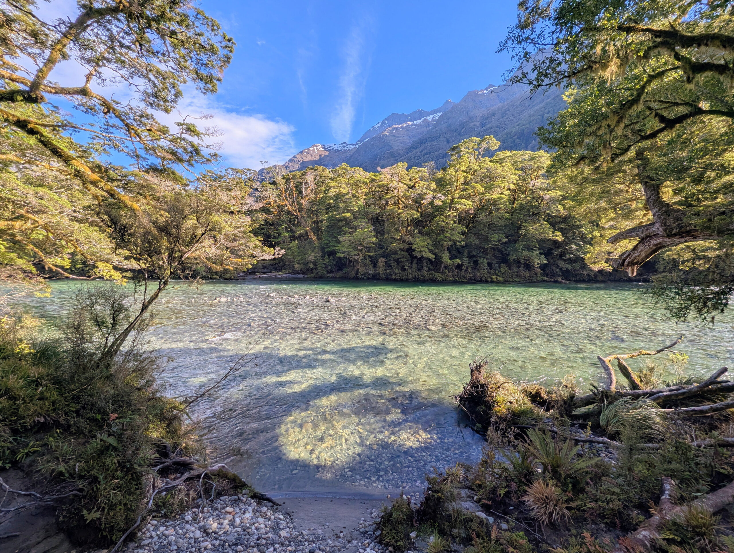
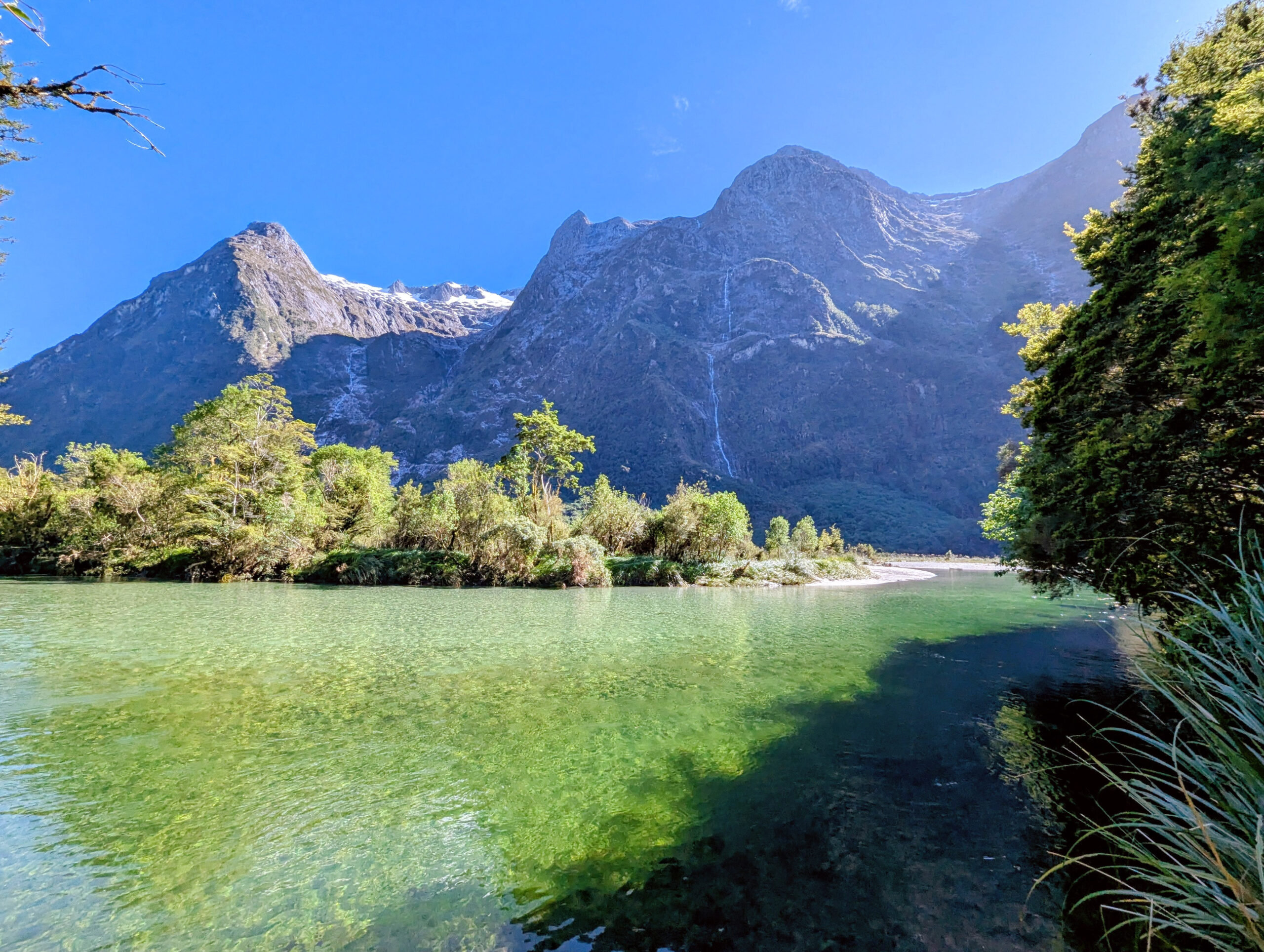
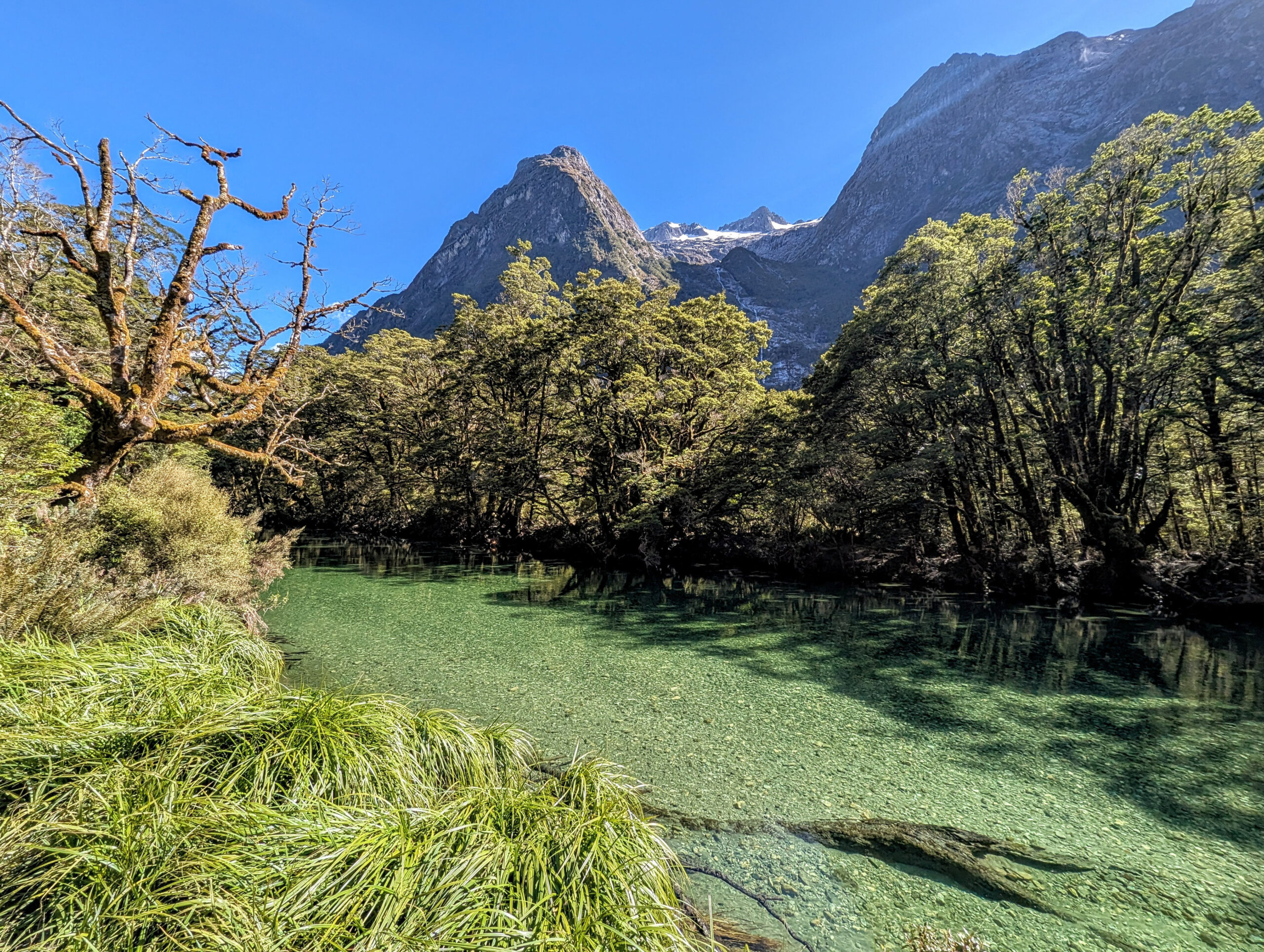
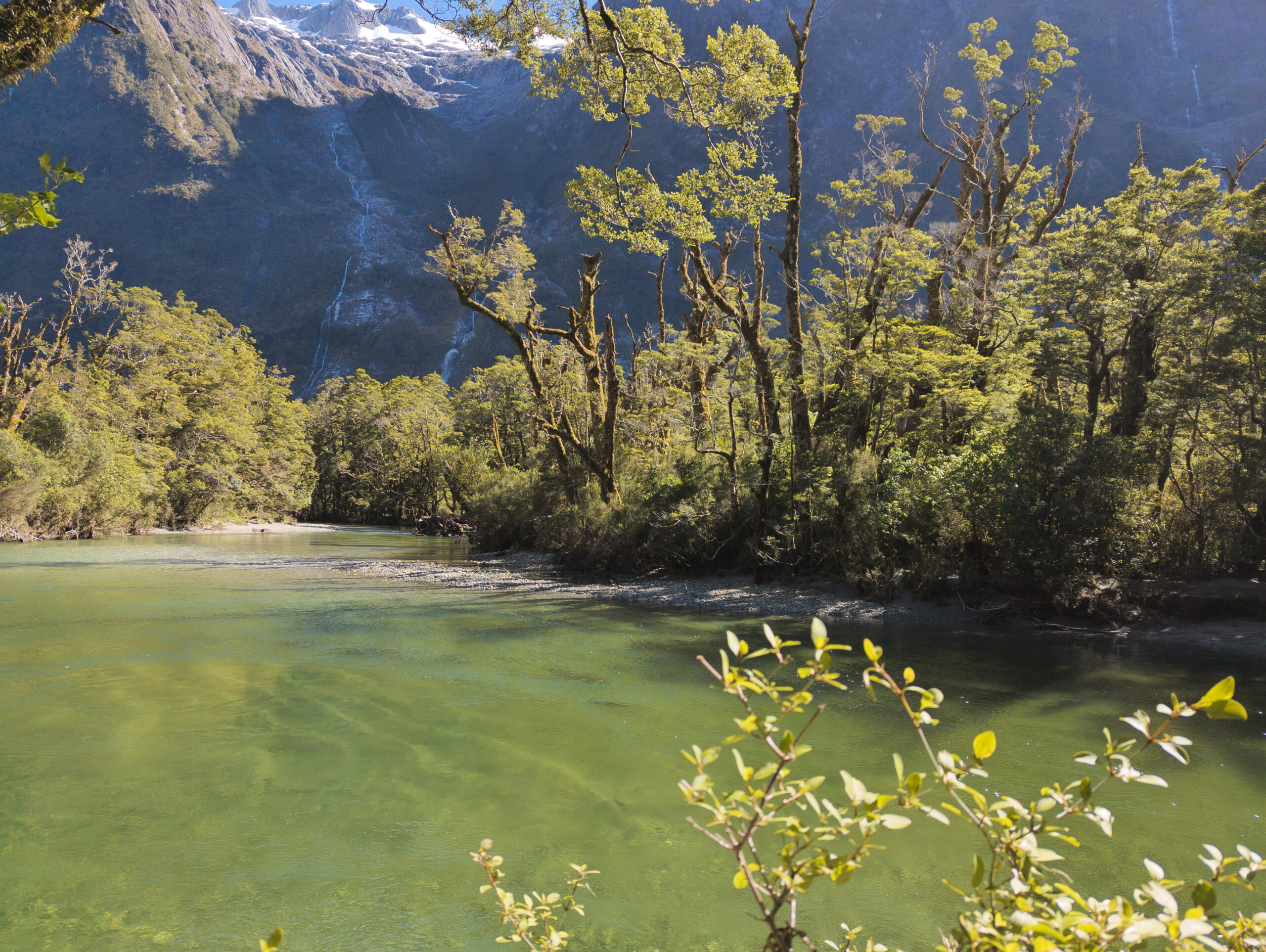
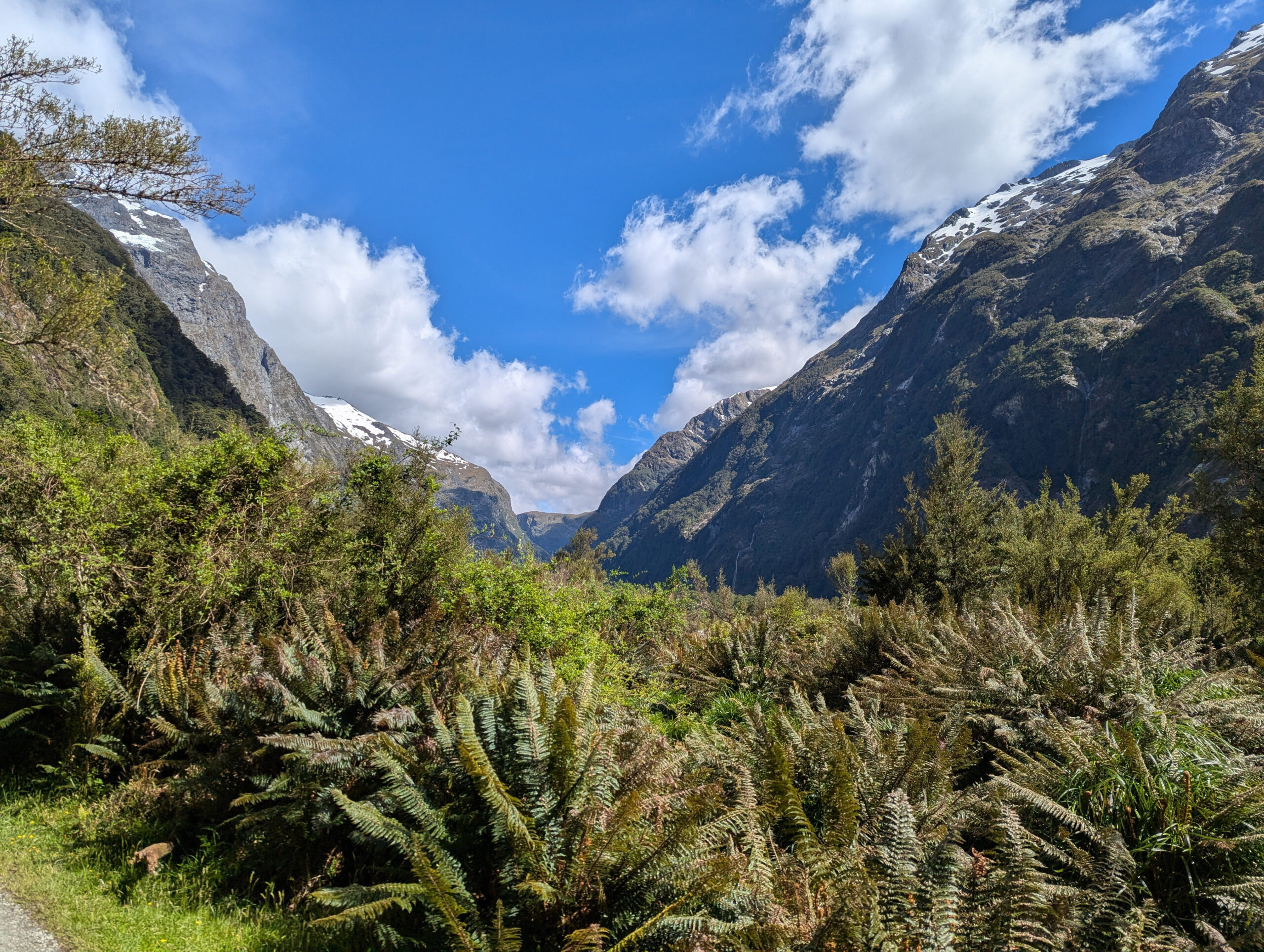
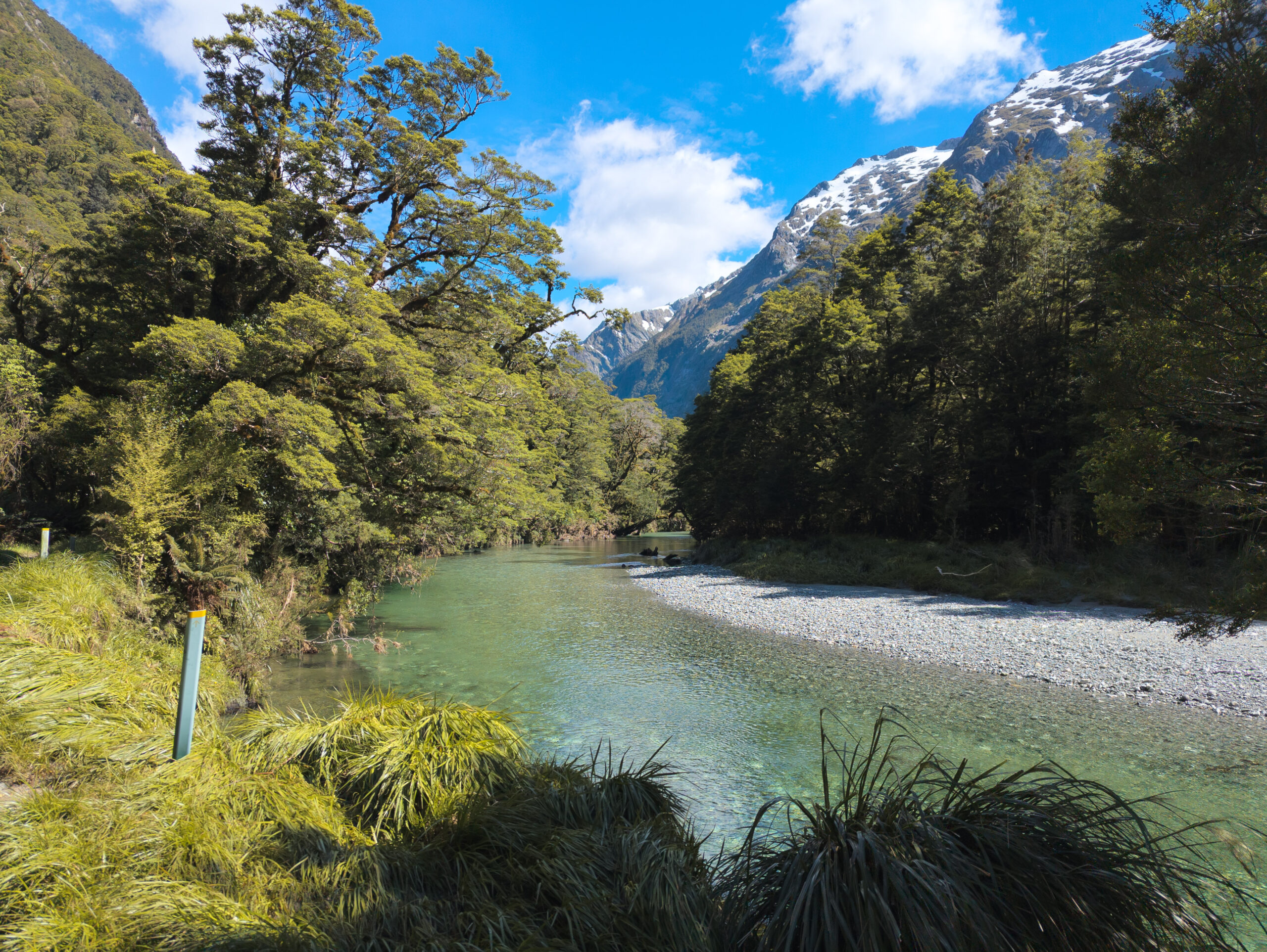
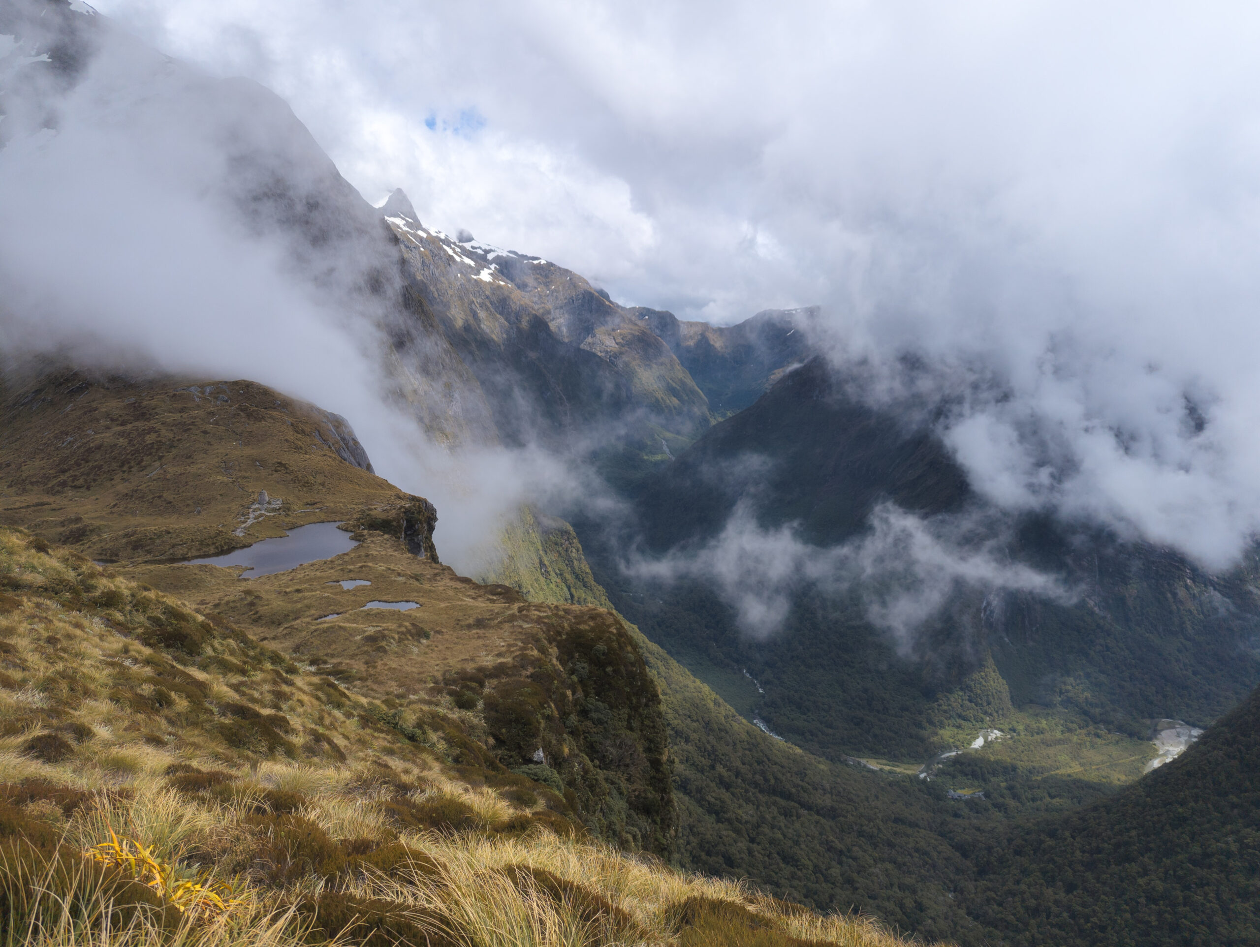
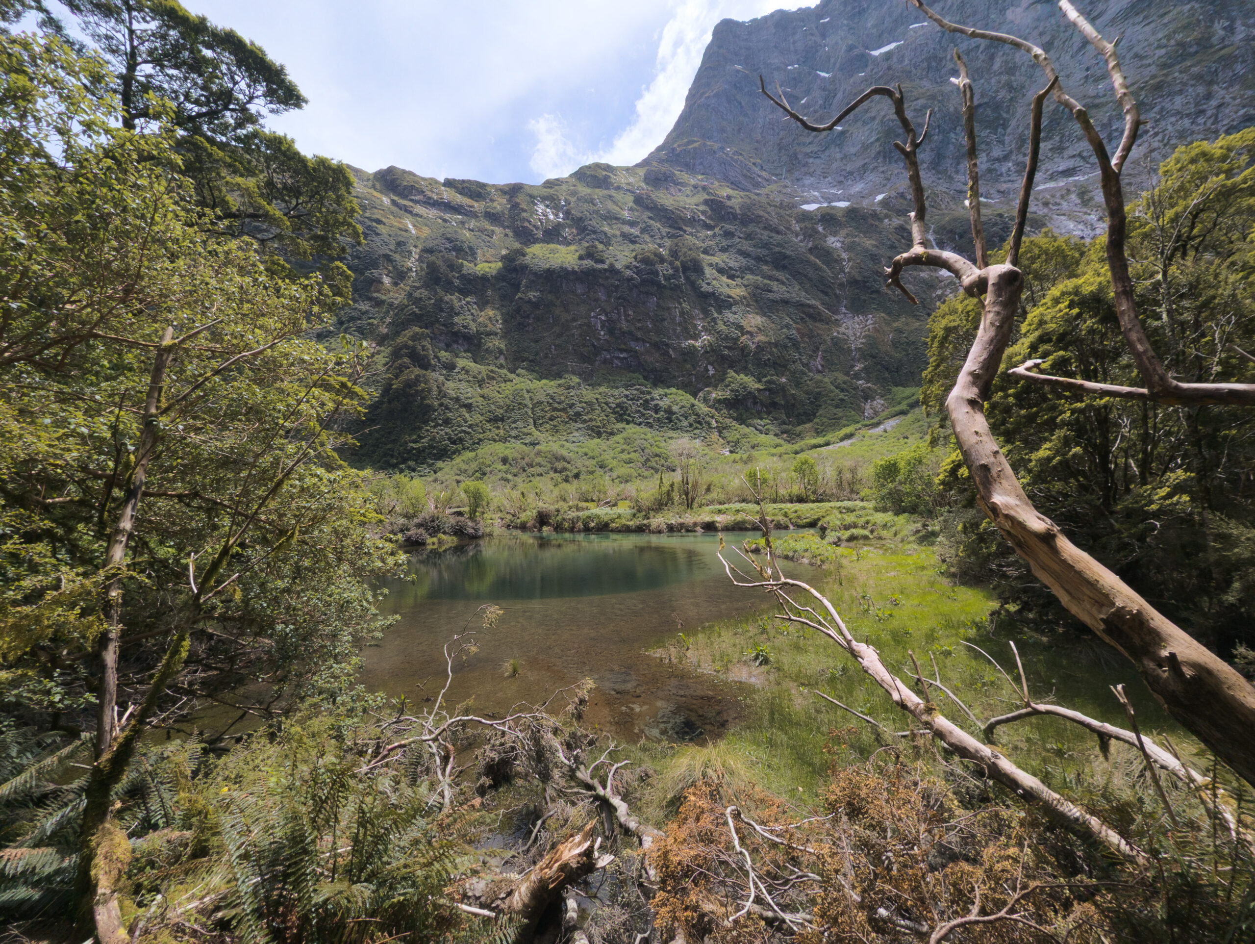
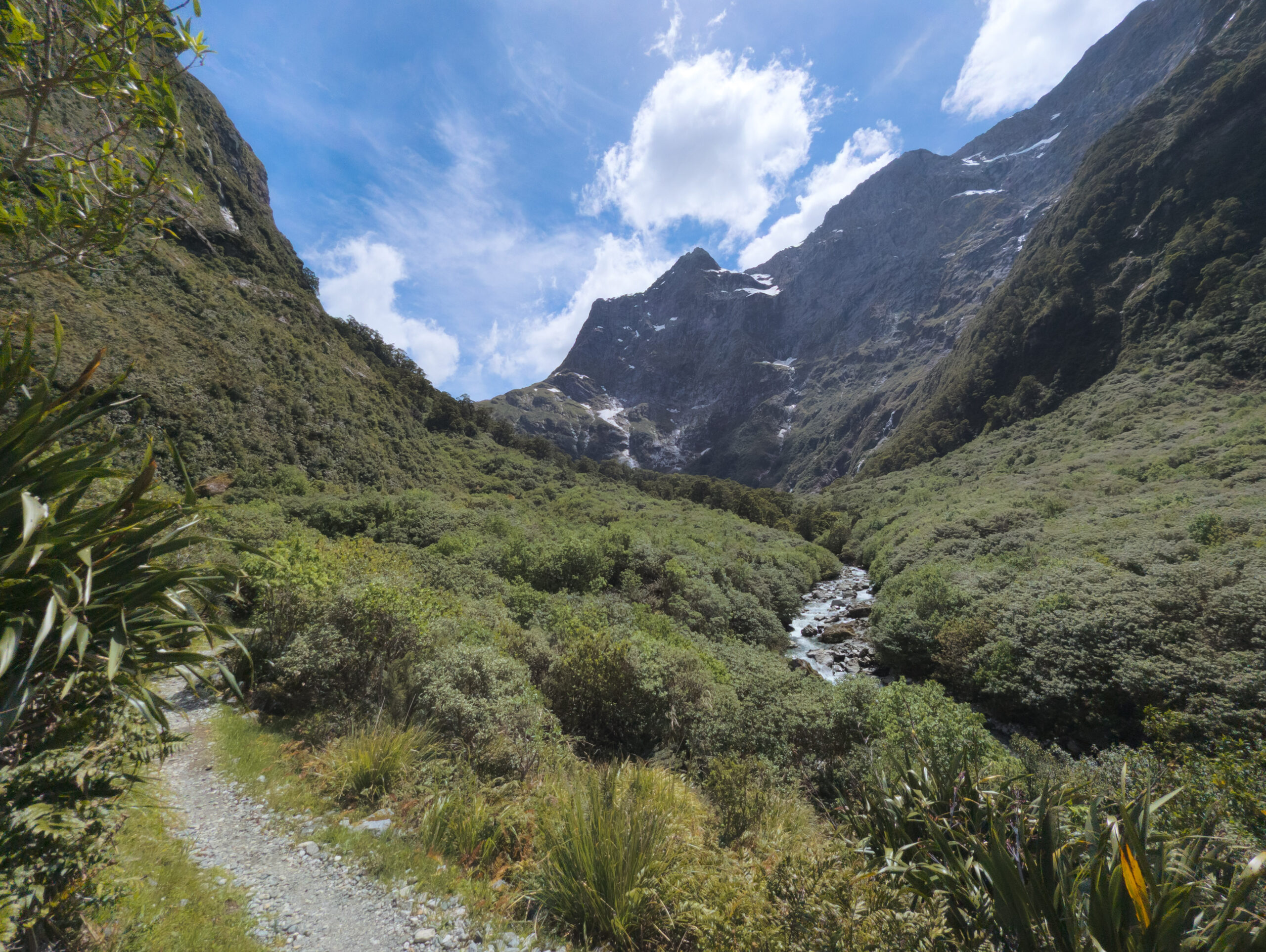
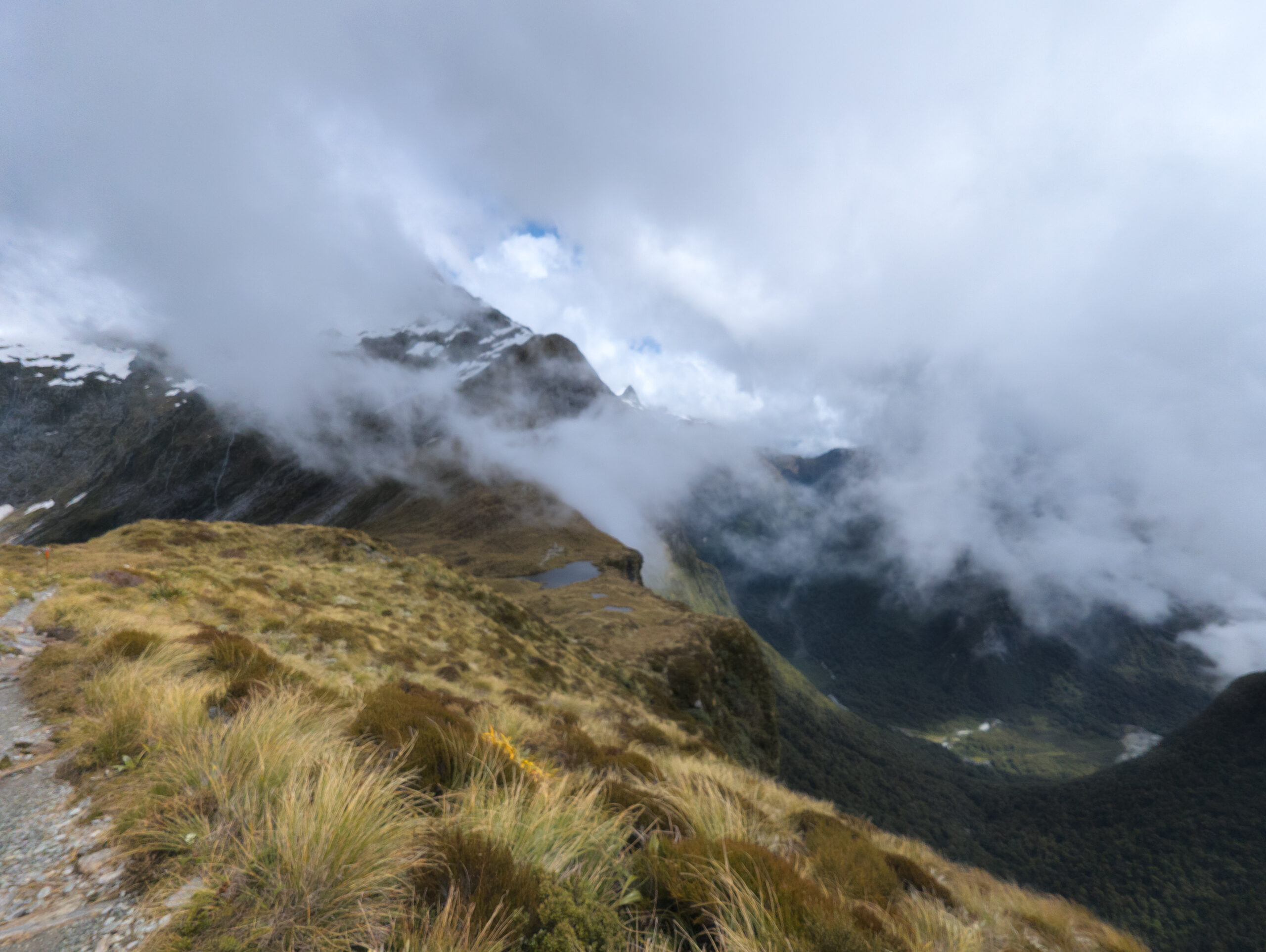
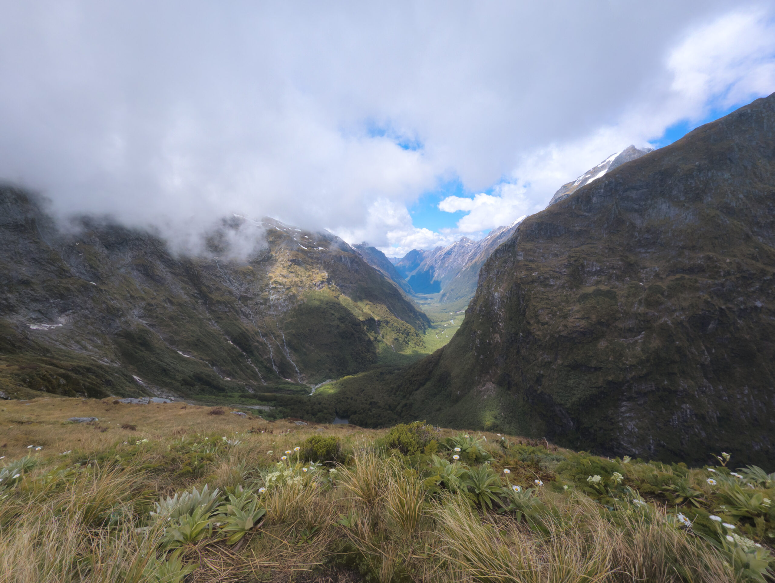
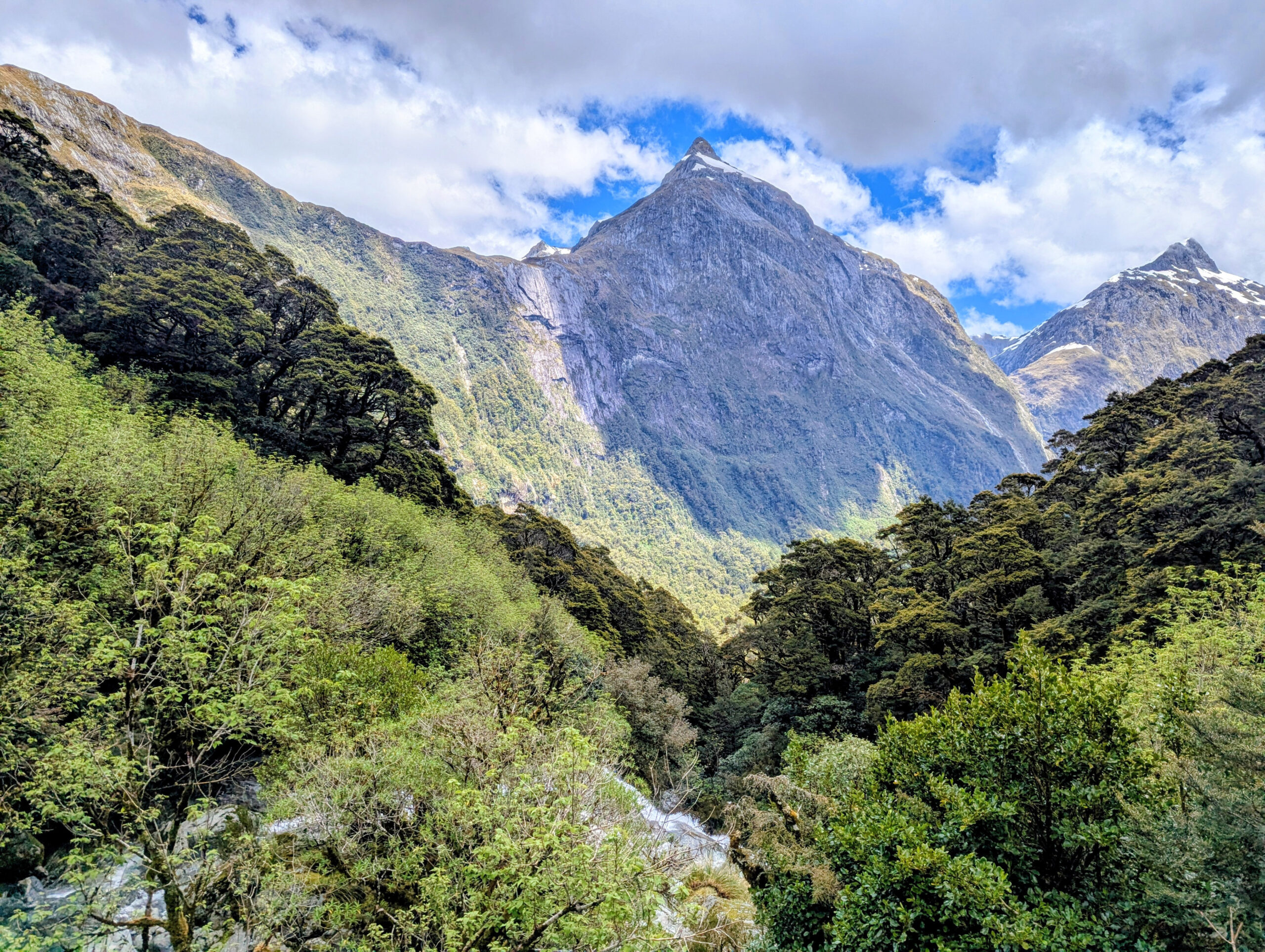
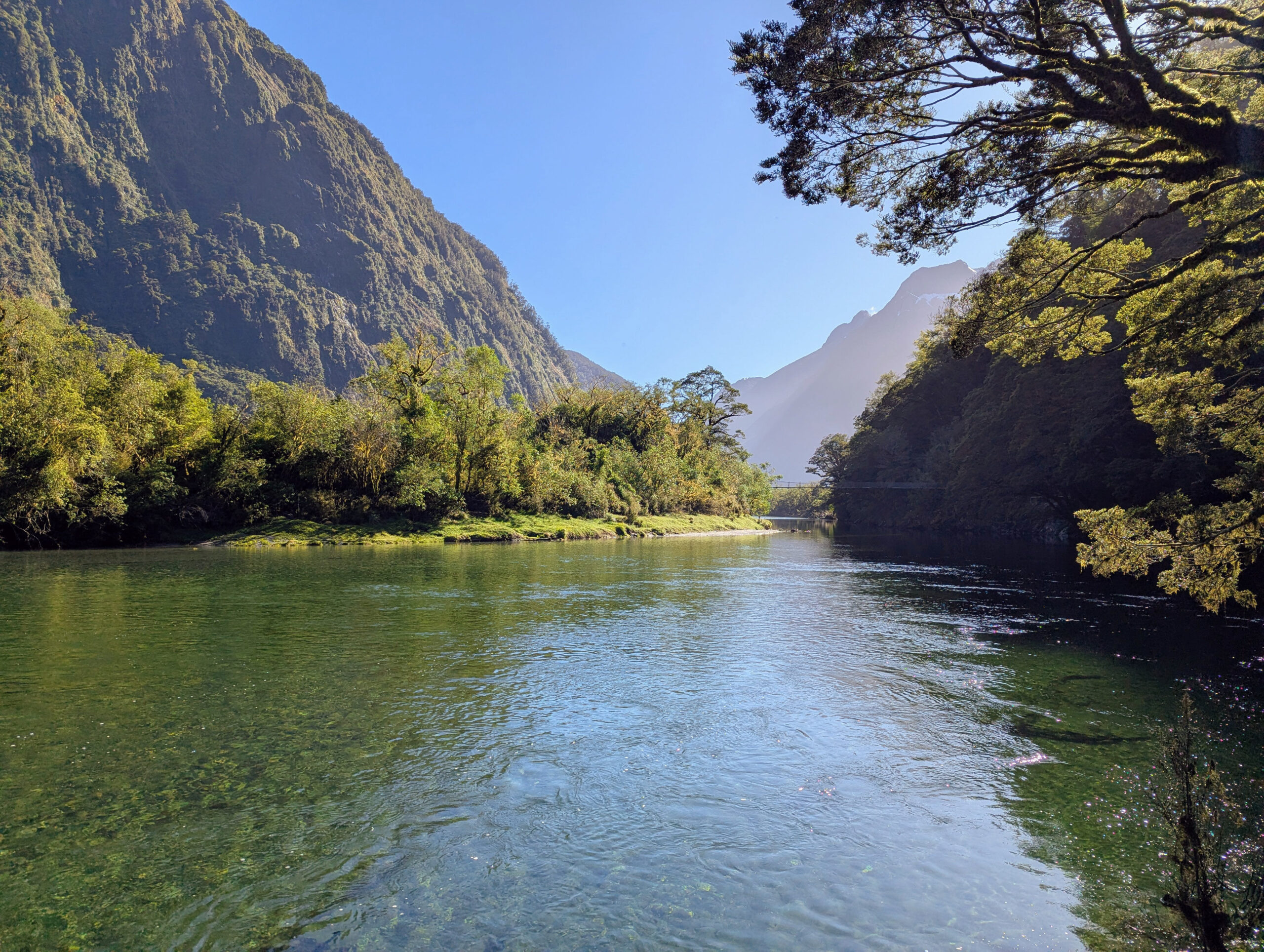
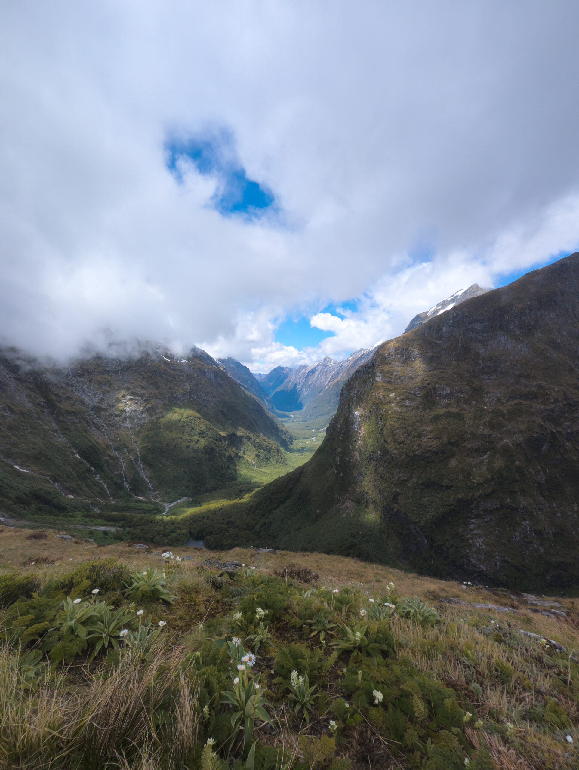
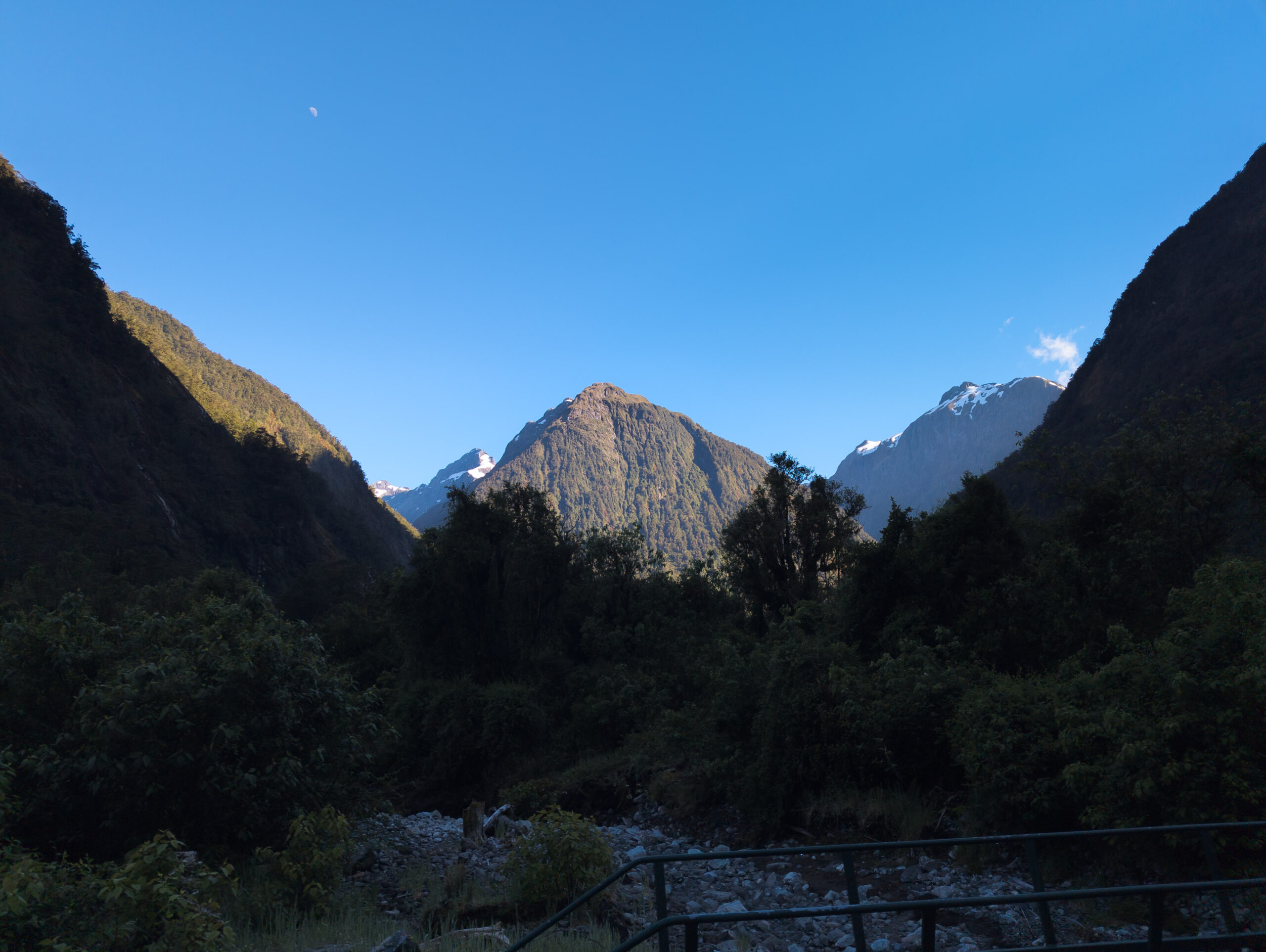
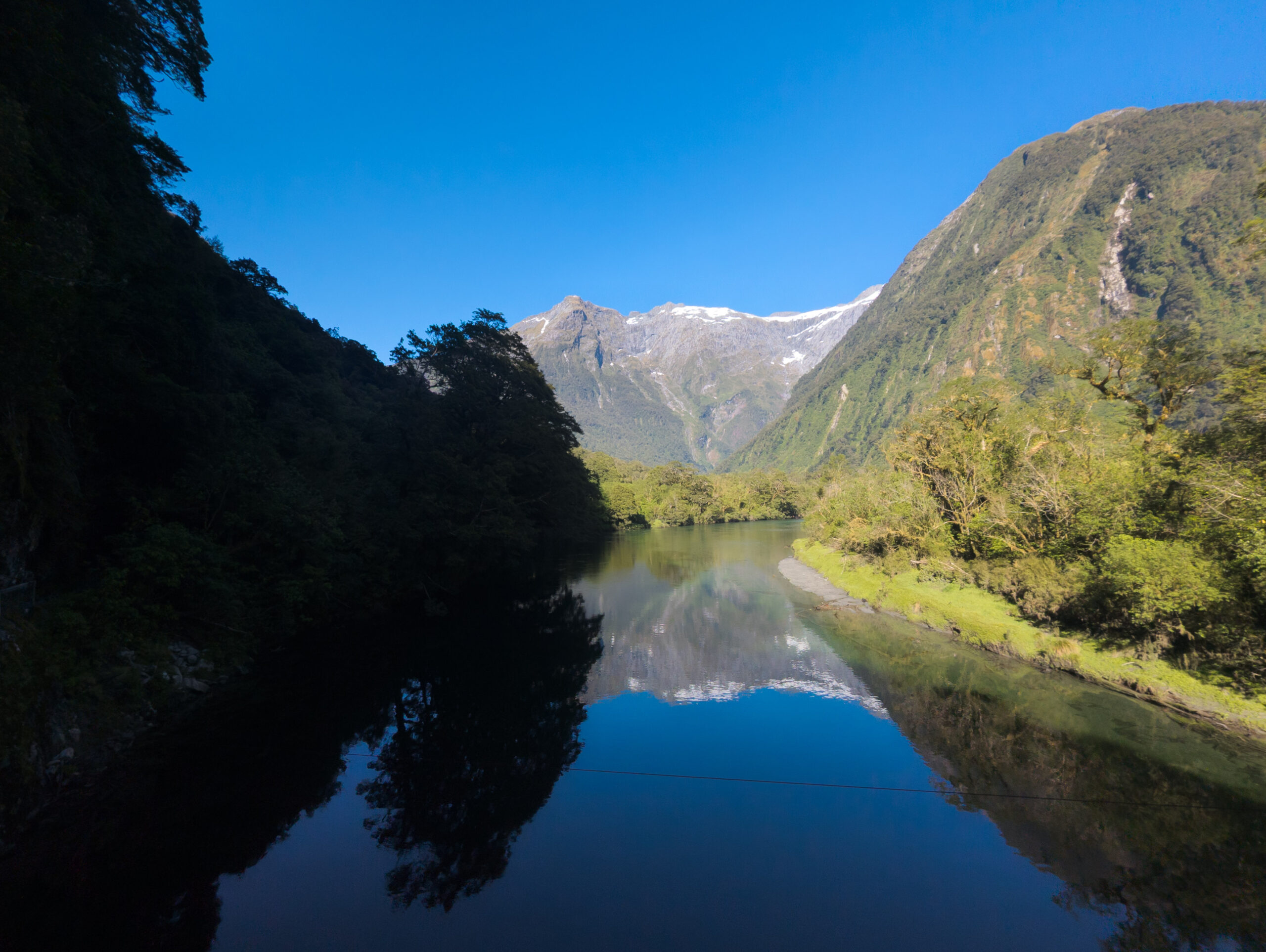
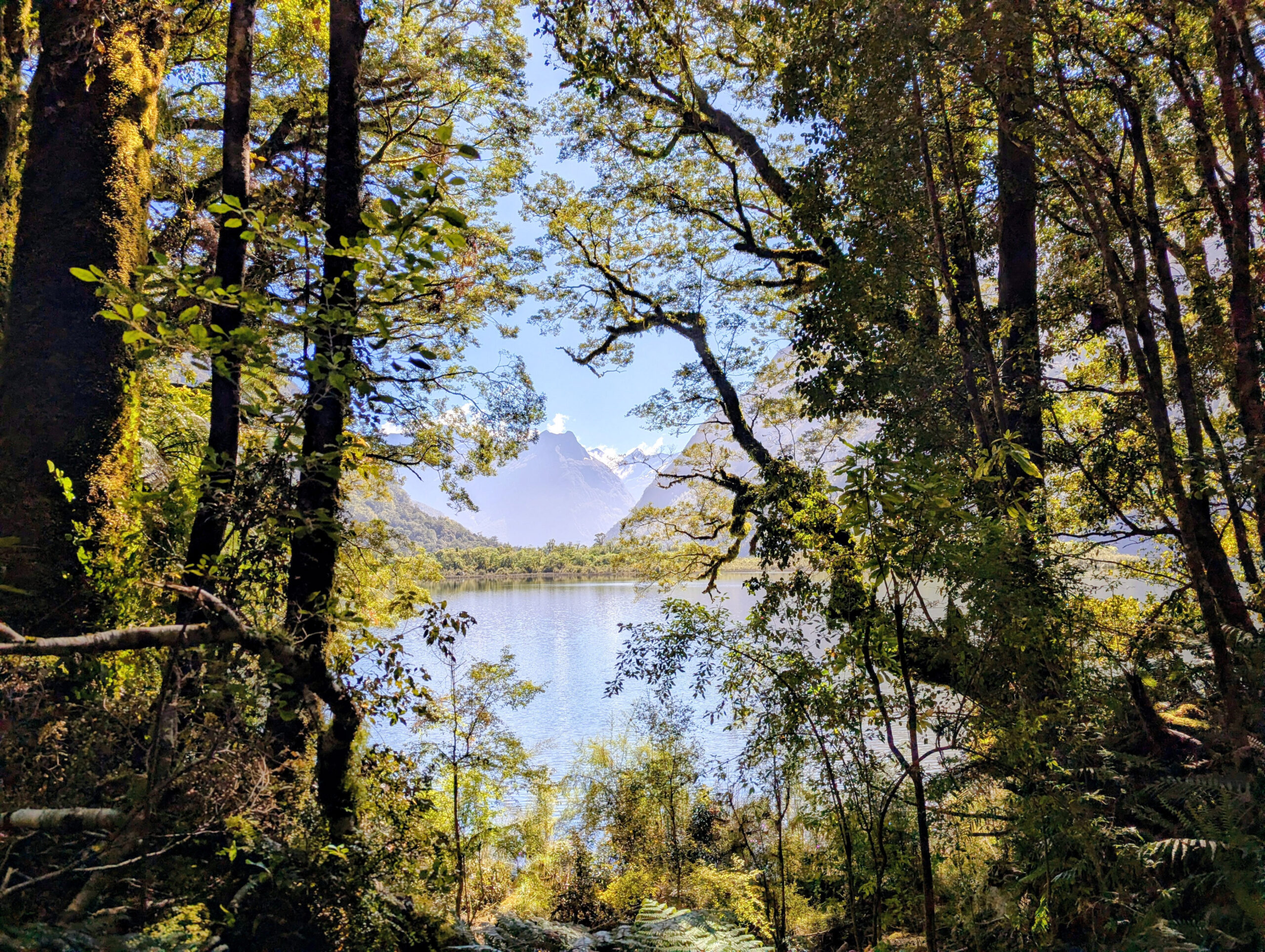
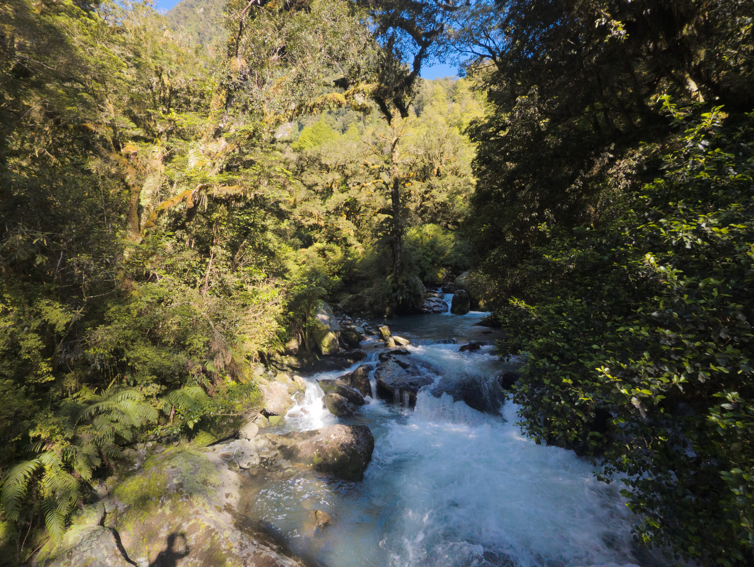
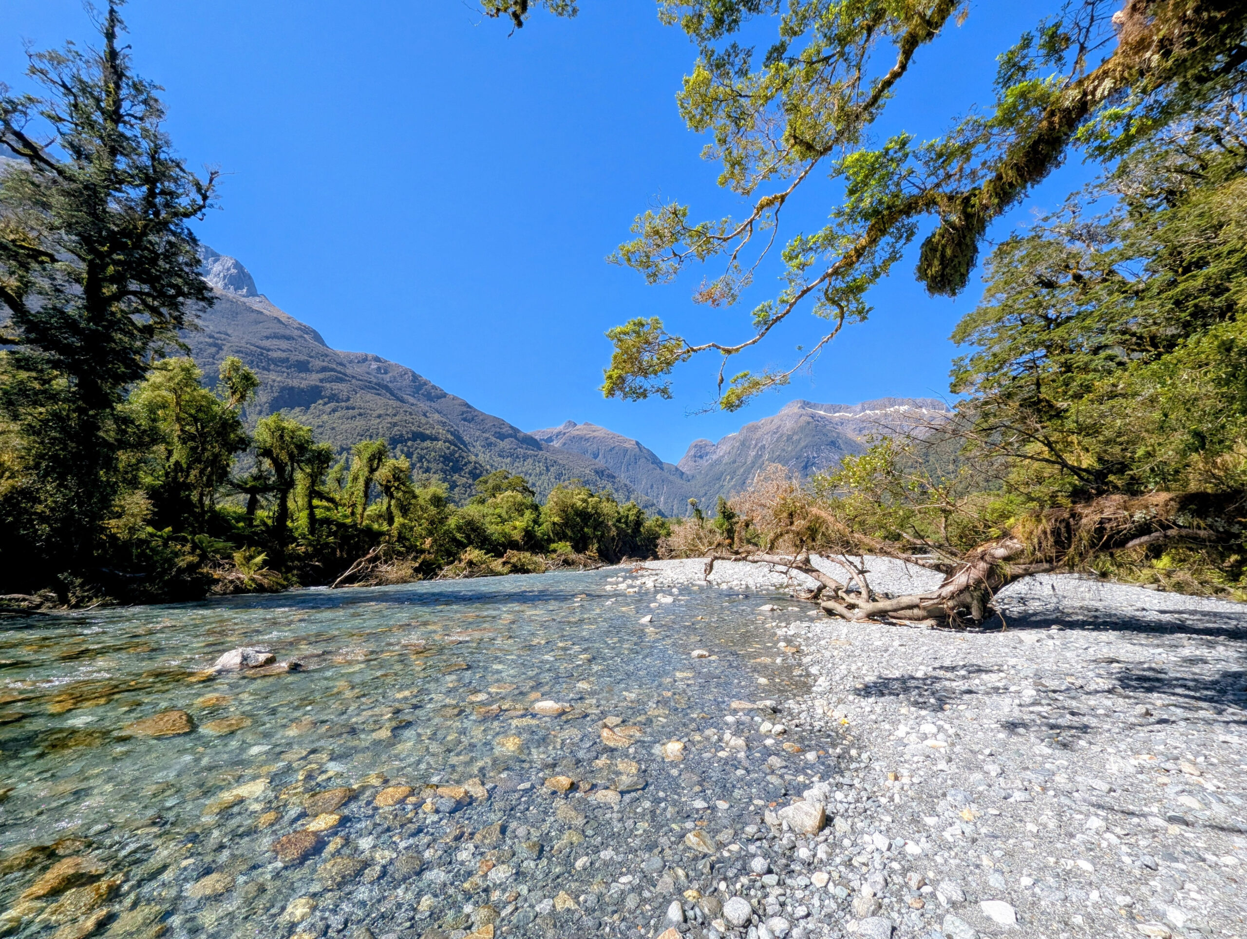
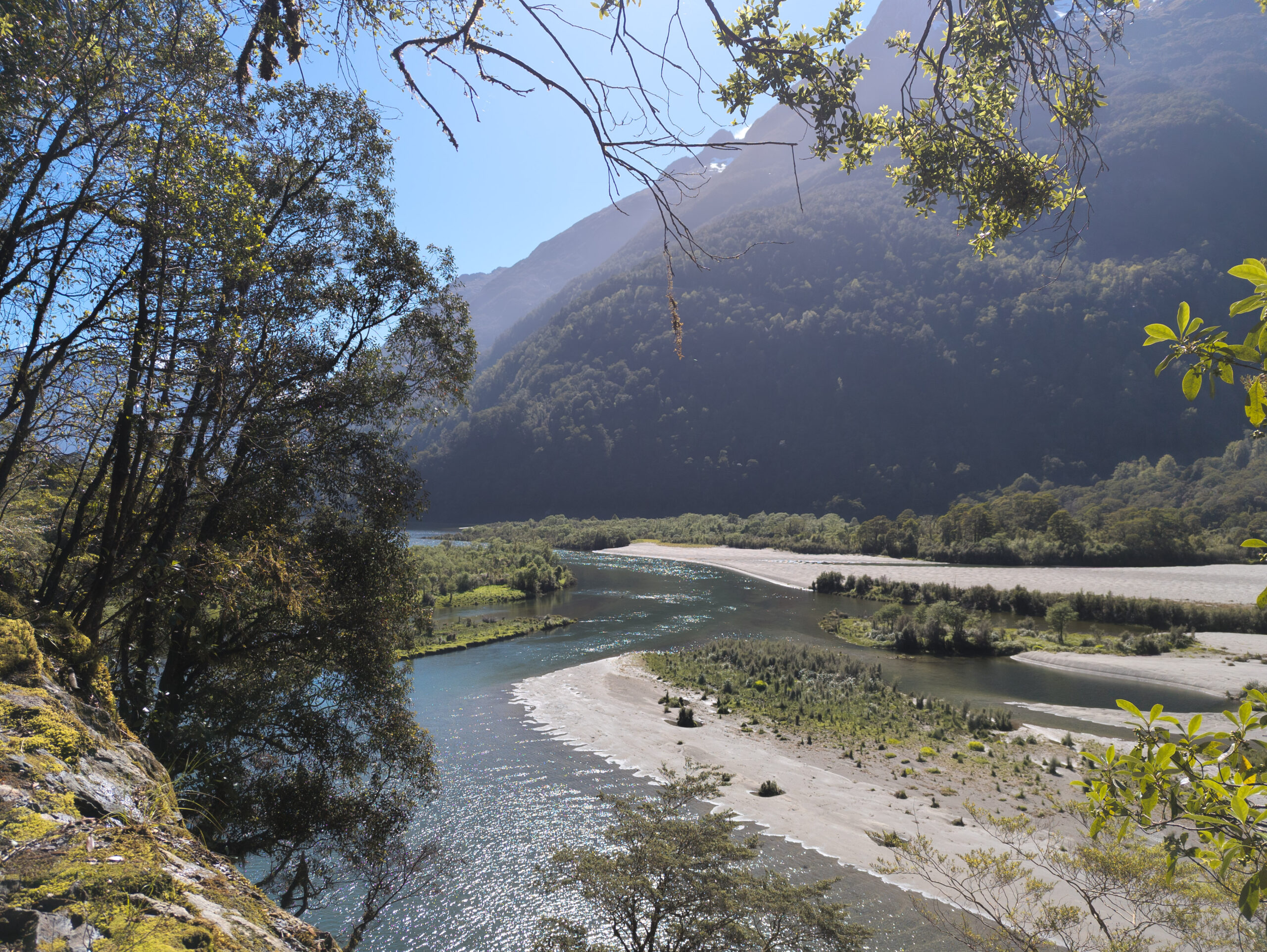
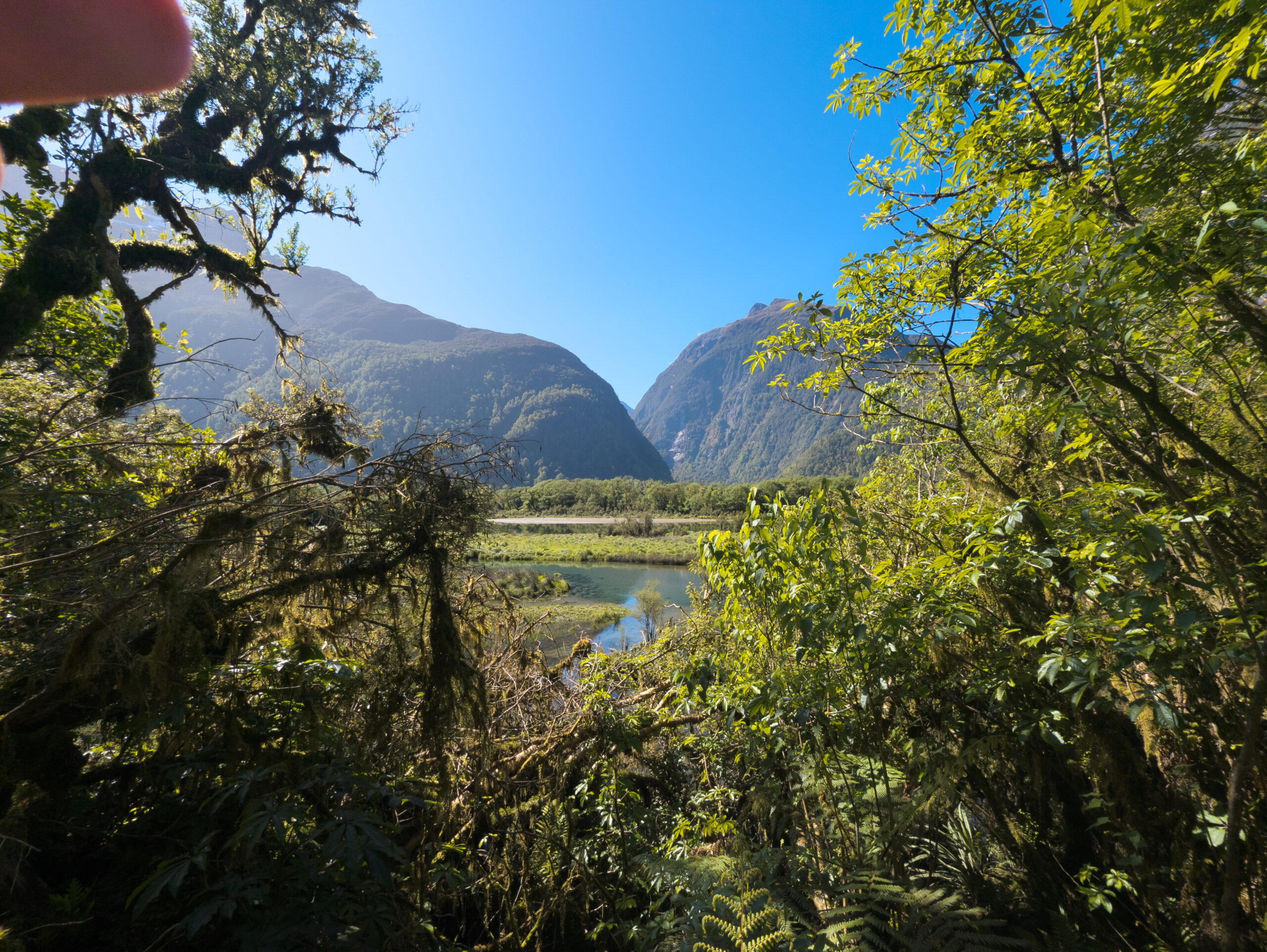
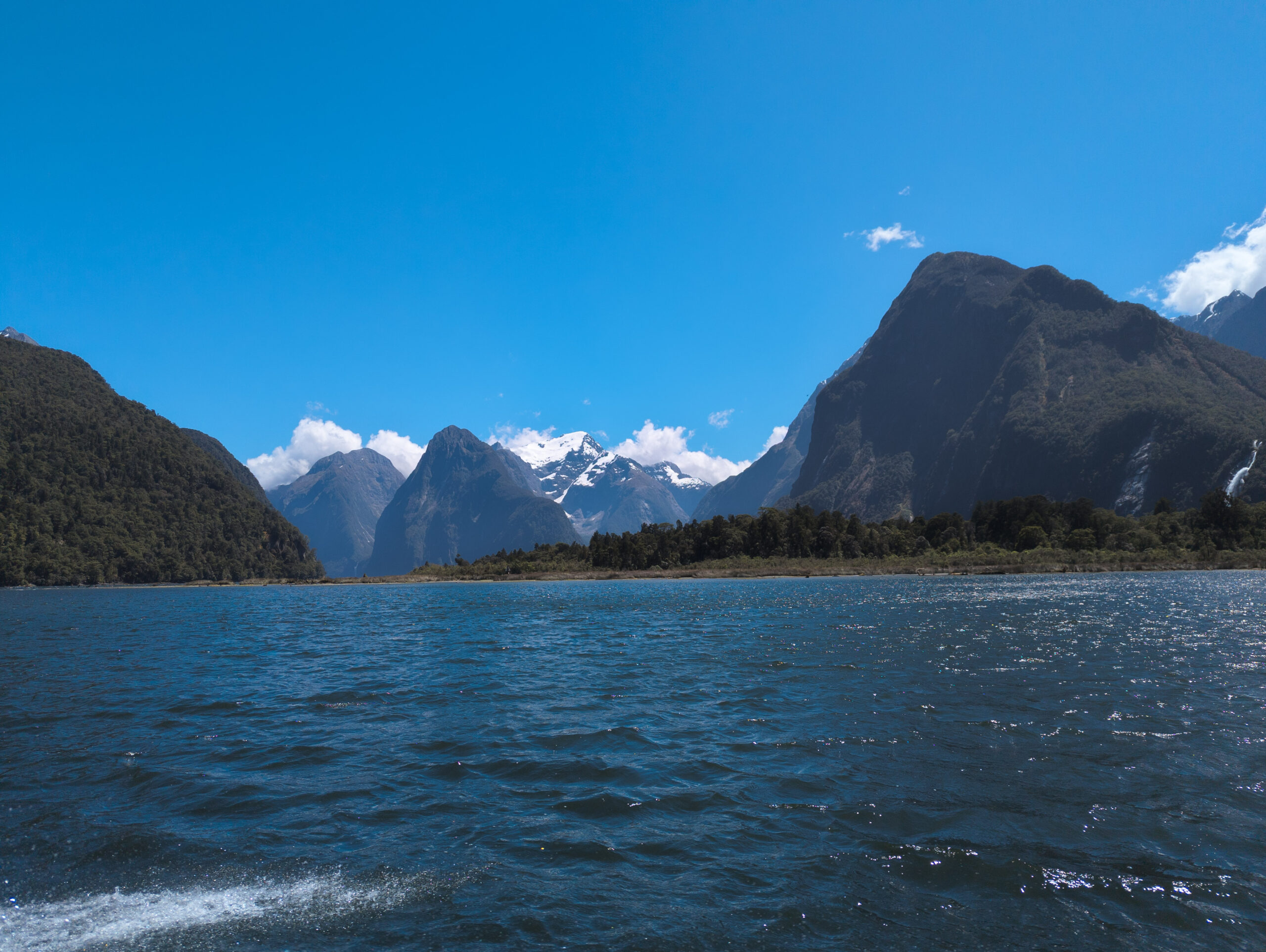
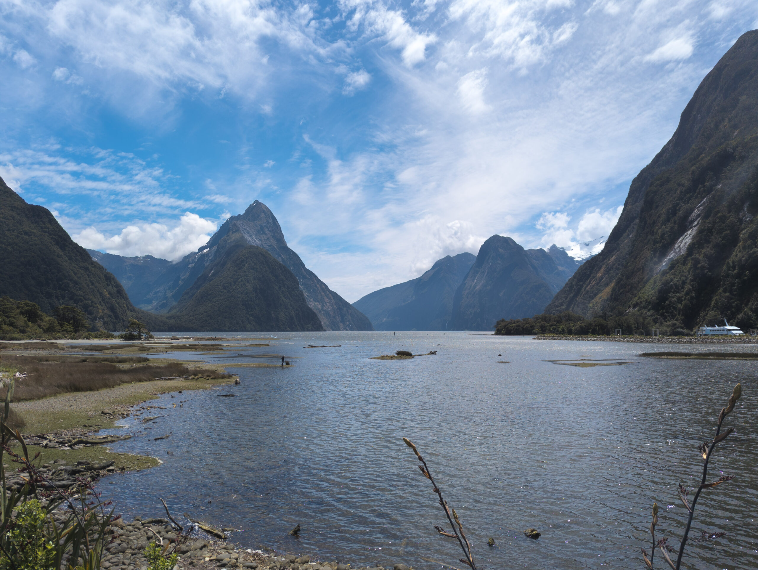
The boat dropped us at Glade Wharf, and we walked into the beech forest. For the next four days, that forest became my world. The track follows the Clinton River up a glacially carved valley, flanked by sheer granite walls that disappear into the clouds. It is lush, prehistoric, and overwhelmingly green. But here is the controversial truth: I wasn’t blown away. In McKinnon’s day, this walk was the only way to see the majesty of Milford Sound. The sheer effort of the journey made the destination a revelation. But today, a sealed road cuts through the mountains to the sound. You can drive there in comfort, park your car, and see the same iconic view of Mitre Peak that hikers trudge 53 kilometers to witness. Coming from the raw, jagged peaks of the Cordillera Huayhuash in Peru or the granite towers of Torres del Paine in Chile, the Milford Track felt tame. It is a green tunnel. For miles and miles, you are walking under the canopy of silver beech and ferns. It is beautiful, yes, but it lacks the constant visual punch of the open alpine. You spend days in the valley floor, waiting for the brief moments of exposure on the pass.
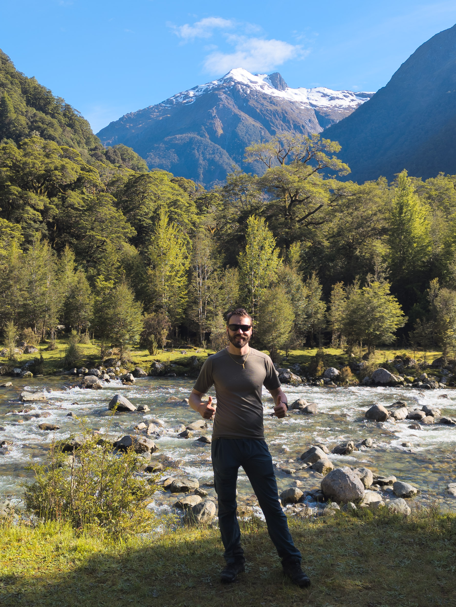
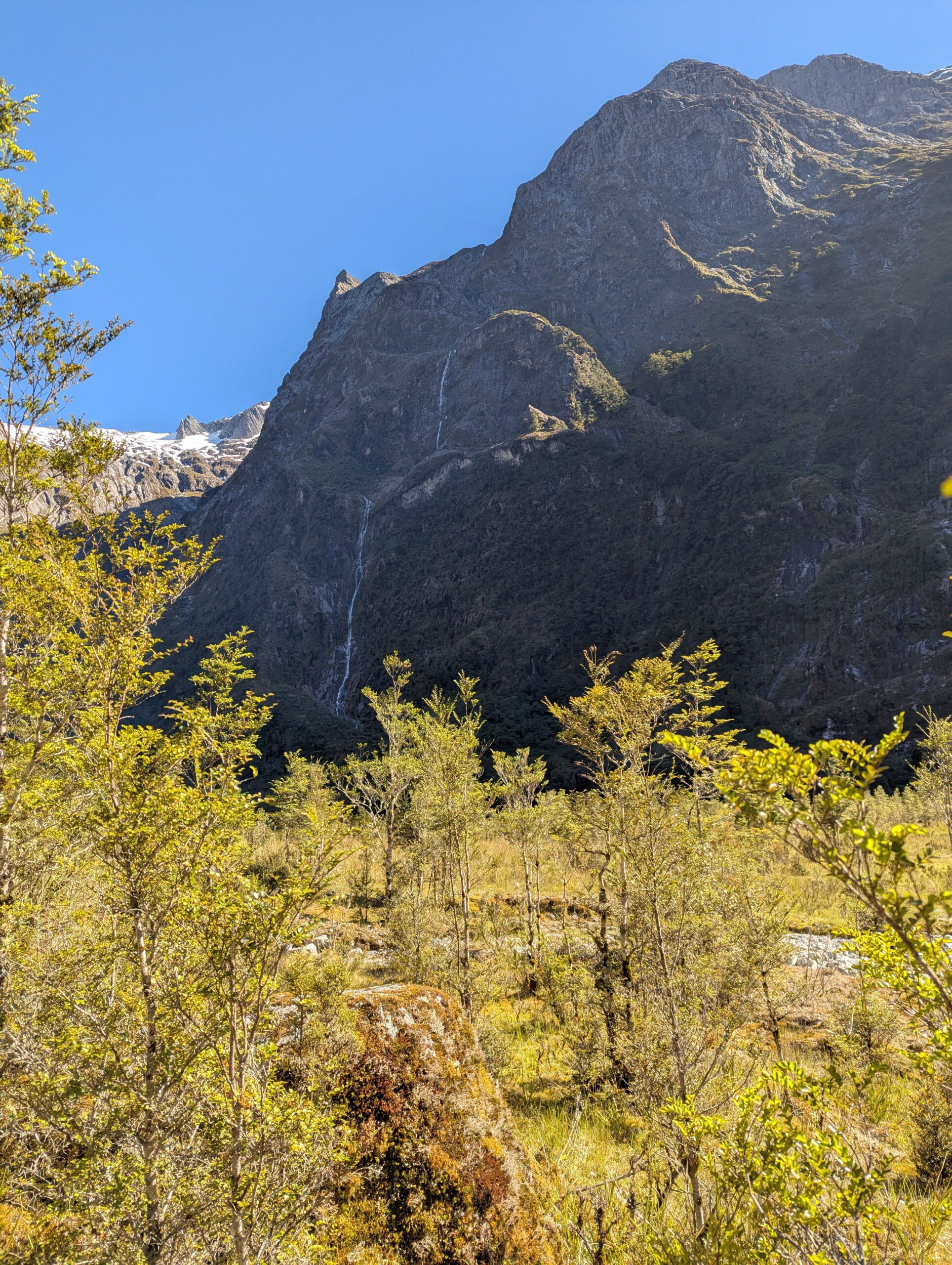
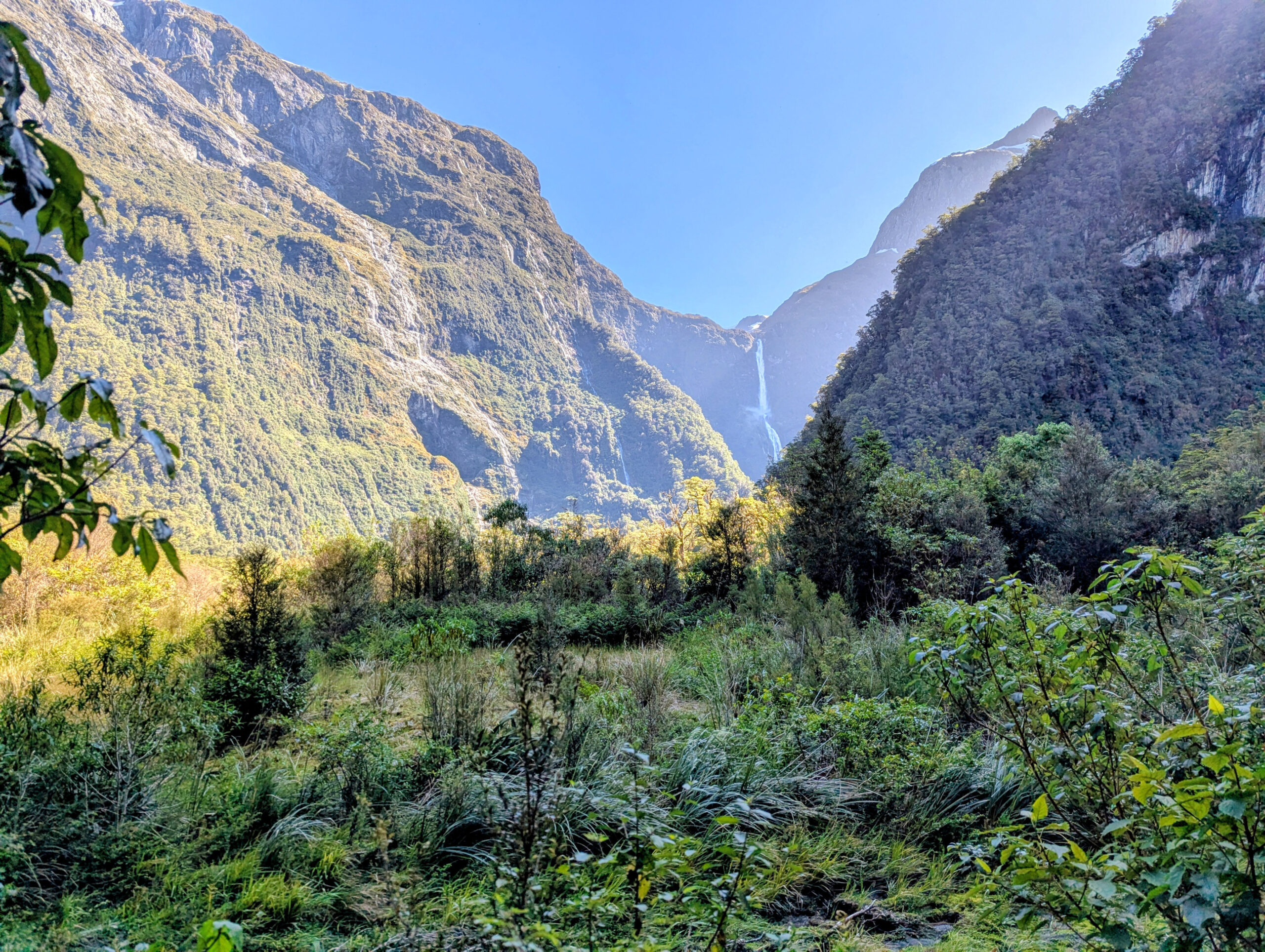
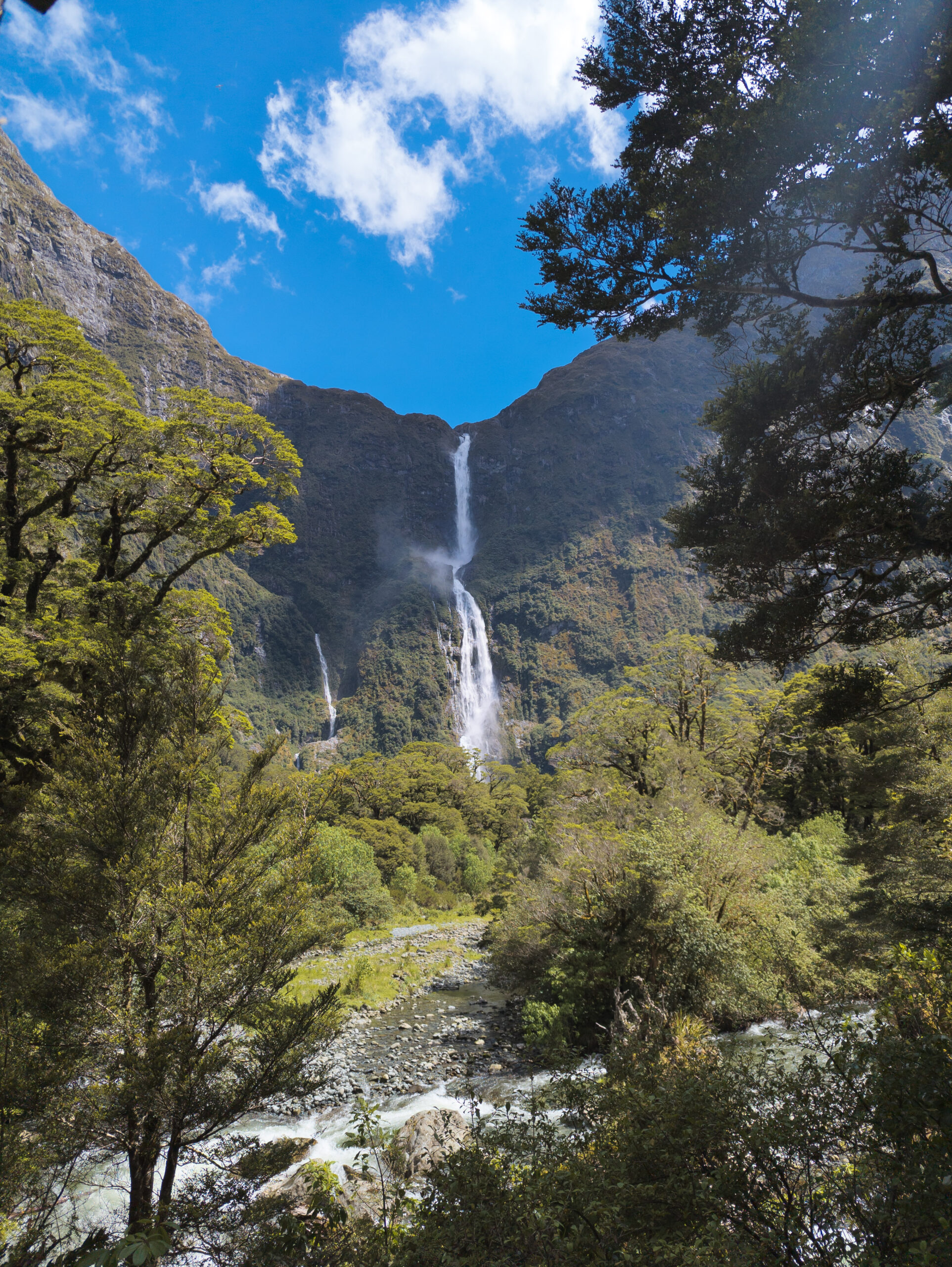
The highlight, however, was visceral. On the third day, I took the side trip to Sutherland Falls. At 580 meters, it is one of the highest waterfalls in New Zealand, tumbling from Lake Quill in three massive leaps. I walked right up to the base. The power of the water hitting the pool creates its own weather system—a hurricane of mist and wind. I stood there, completely alone, getting pflotschnass (soaked to the bone), feeling the raw energy of the water vibrating in my chest. It was the only moment on the track where I felt the true, untamed power of Fiordland. By the time I reached Sandfly Point on the fourth day, my feet were wrecked. The Salomons had offered zero protection against the relentless pounding, and my heels were a mess of blisters. But I had walked it. I had walked in the footsteps of McKinnon and the Maori greenstone traders. I had ticked the box.


The Marathon in the Valley
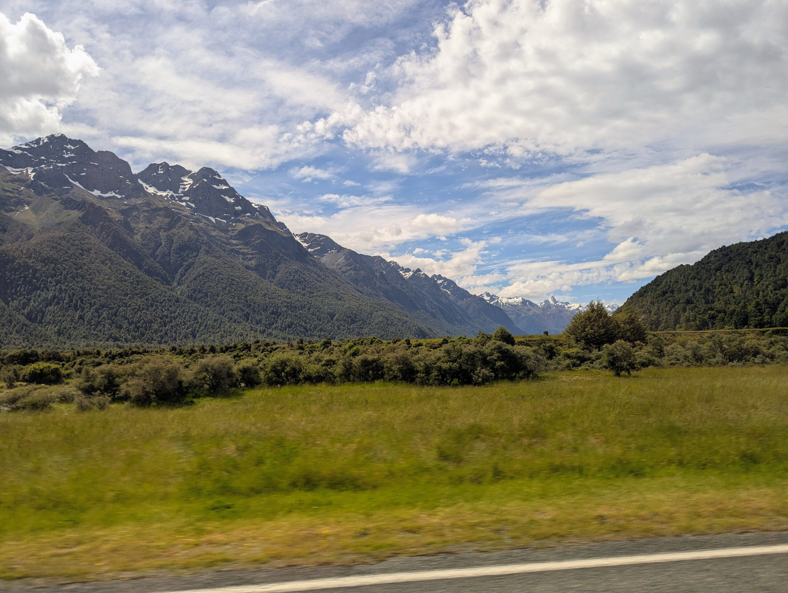
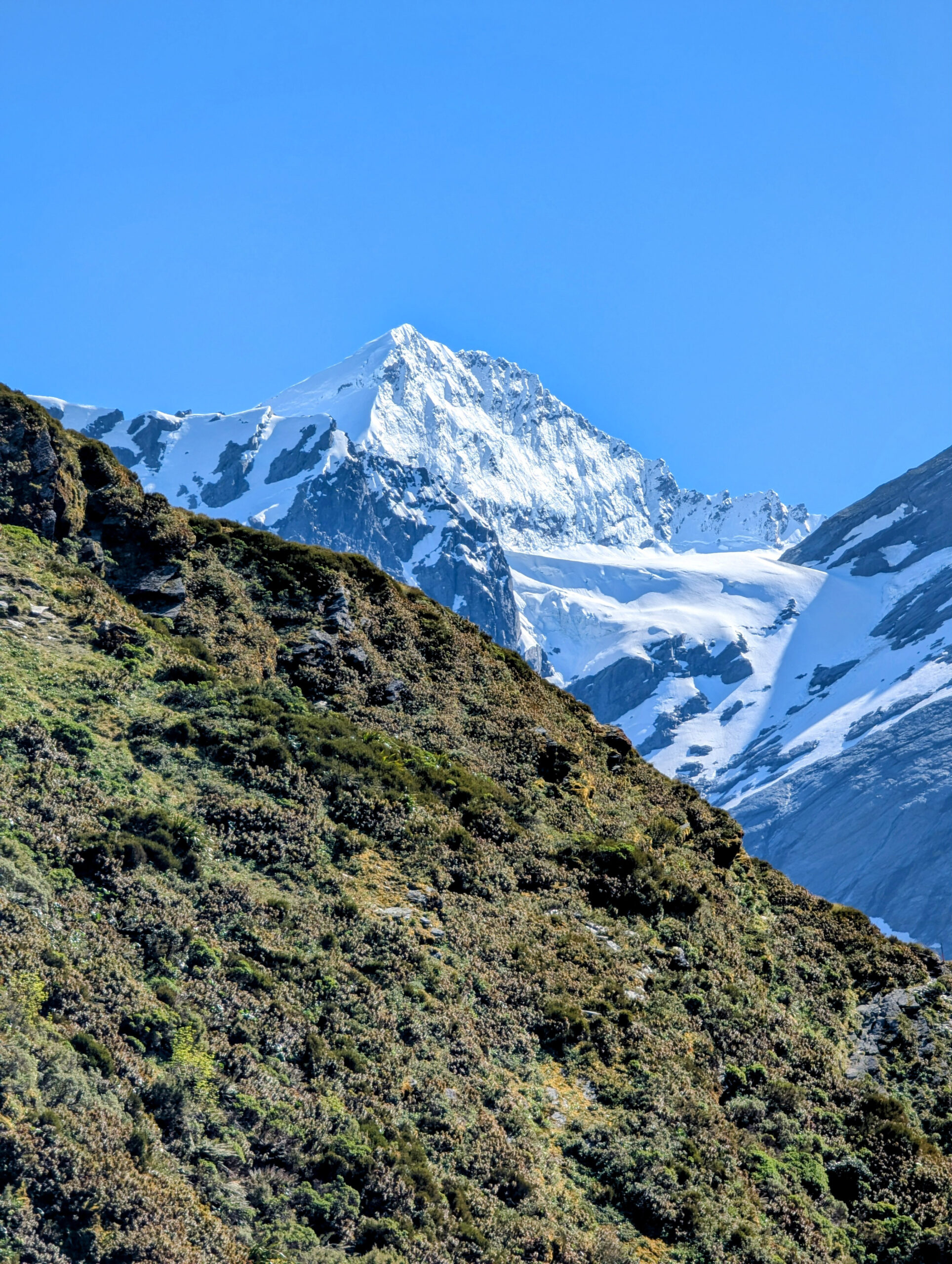
I reunited with Eduardo in Queenstown, and we drove north to Wanaka. Our eyes were set on the Bonar Glacier on Mount Aspiring (Tititea). We wanted to get up into the high ice, to use the skills we had honed in the Alps. Tititea, meaning “Glistening Peak,” is a sacred mountain to the Maori, and standing at 3,033 meters, it is the highest peak outside the Aoraki/Mount Cook region. But the mountains here are guarded by logistics. We tried to rent ice axes and crampons in town, but no shop would rent technical mountaineering gear to unguided climbers due to liability concerns. Without the metal, the glacier was impossible.
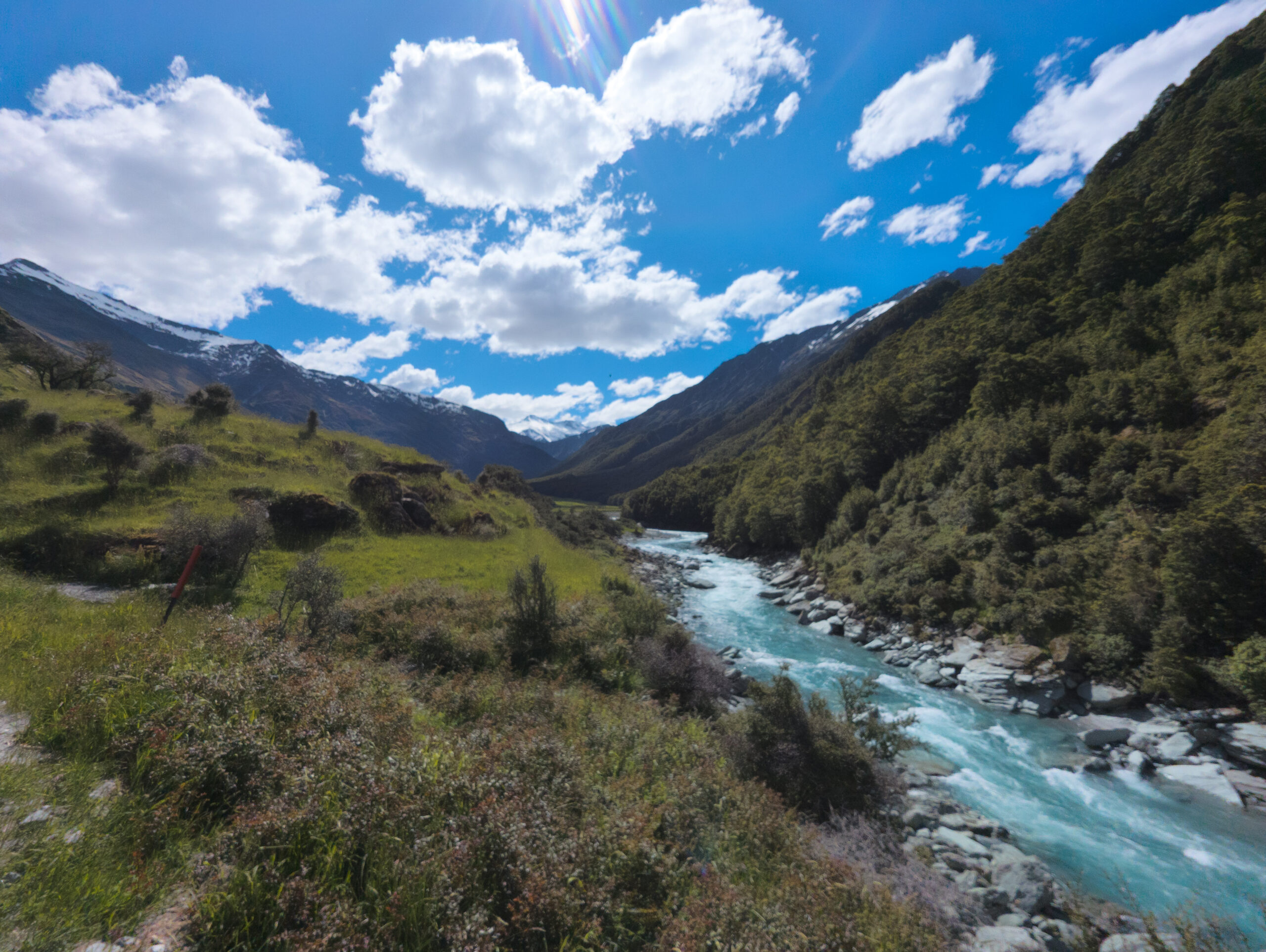
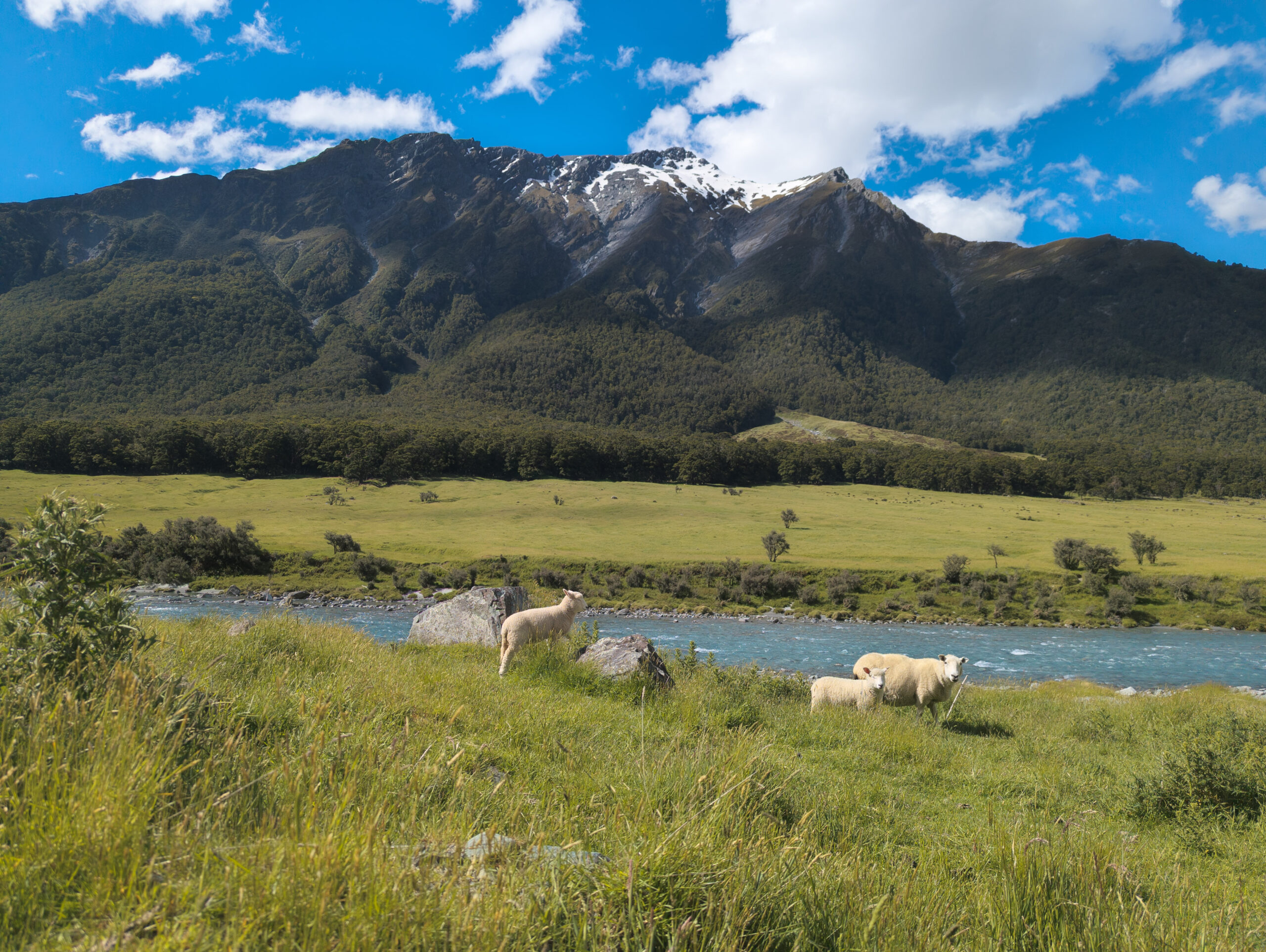
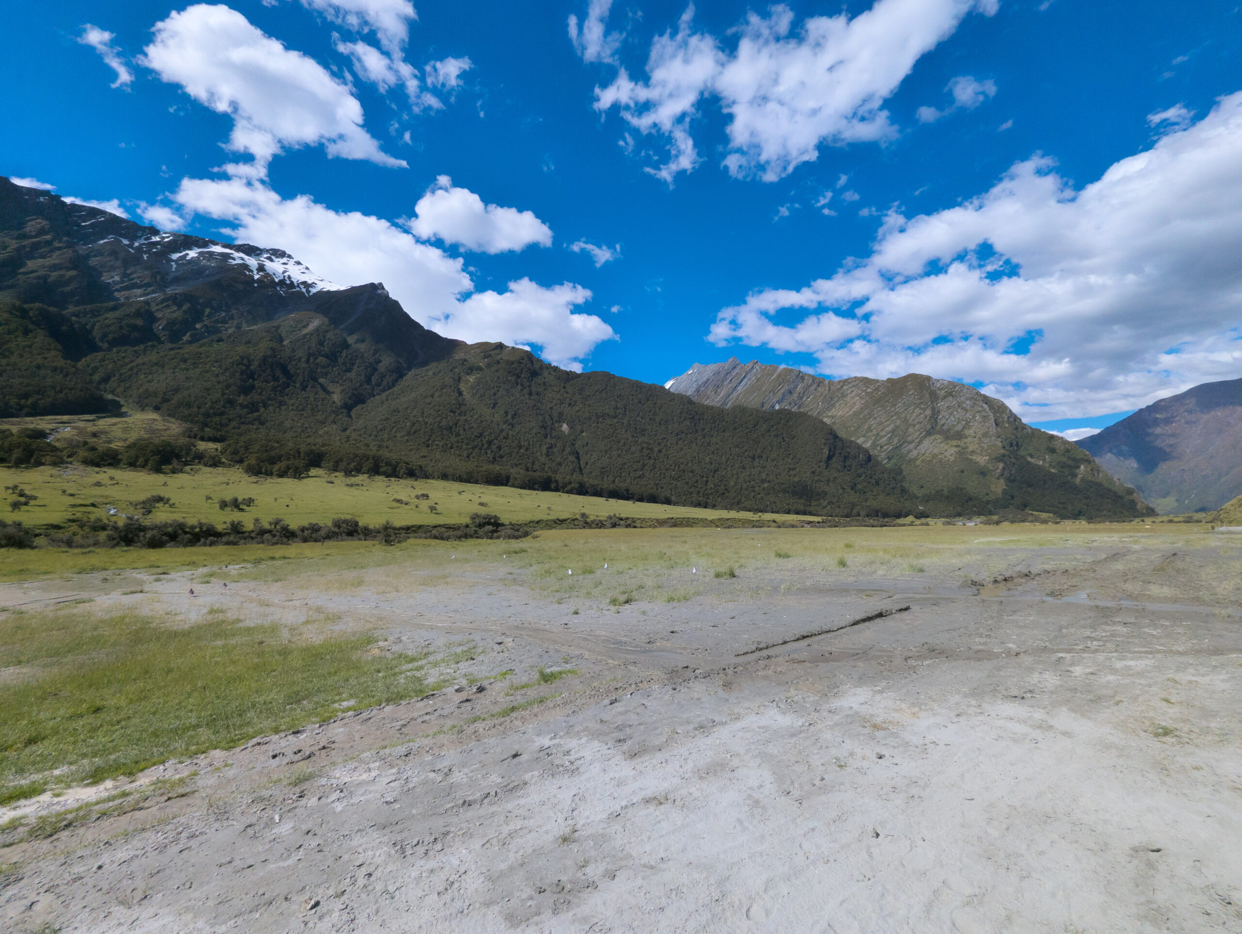
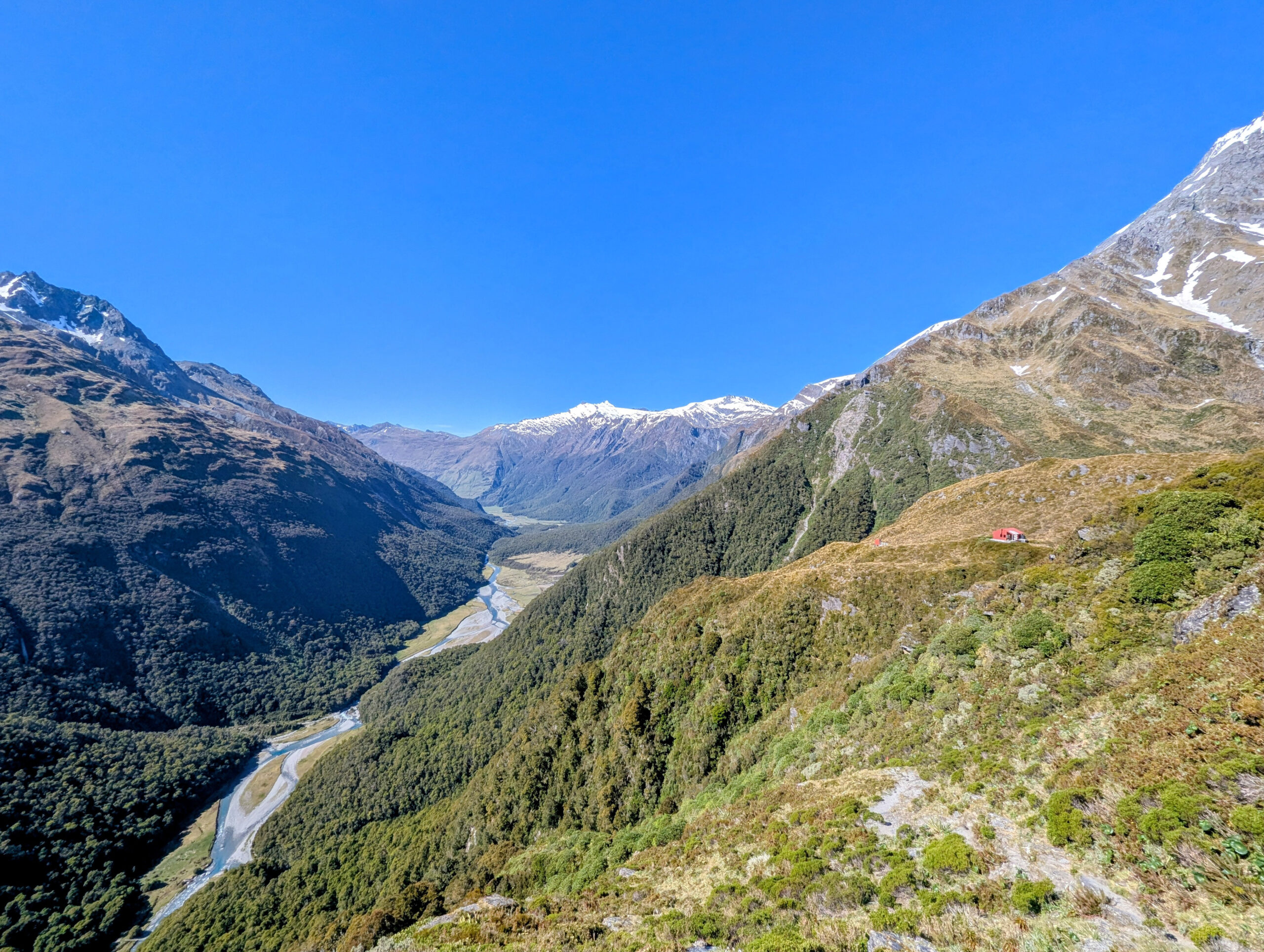
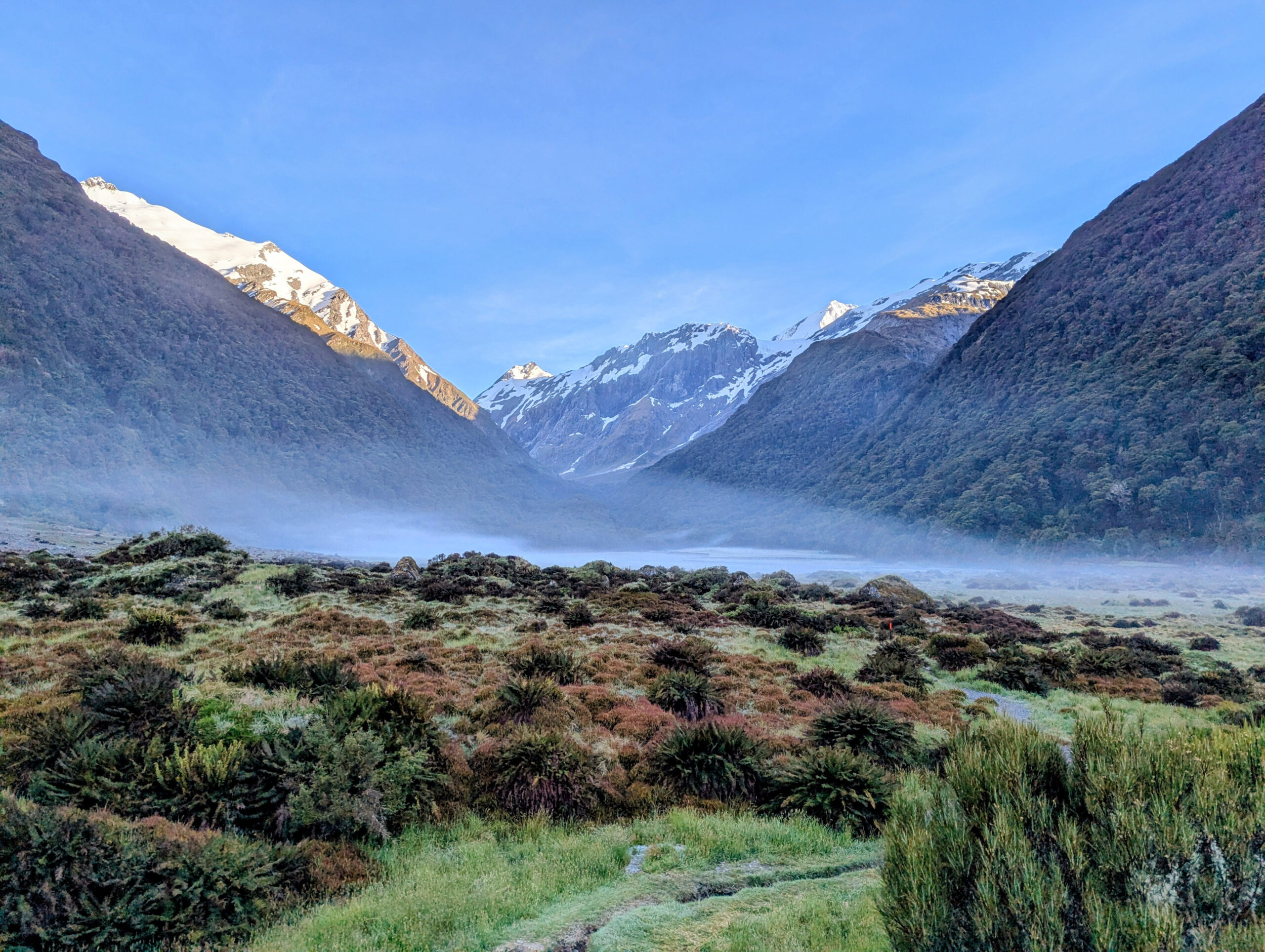
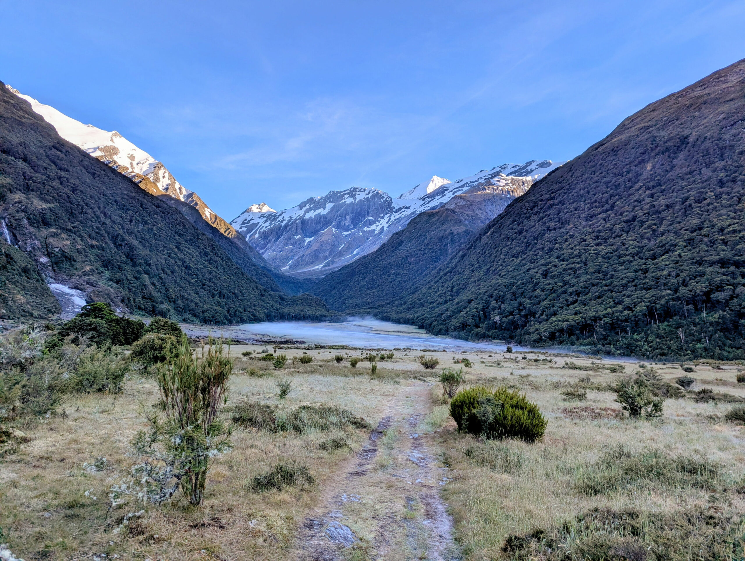
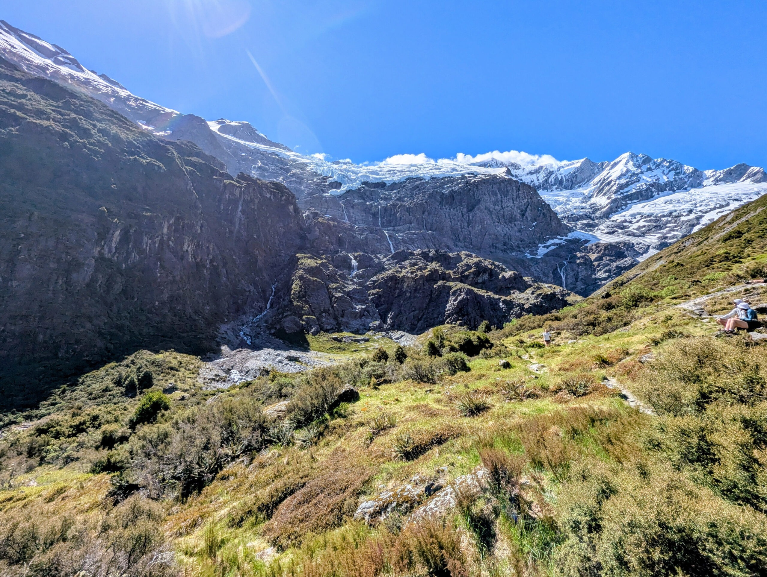
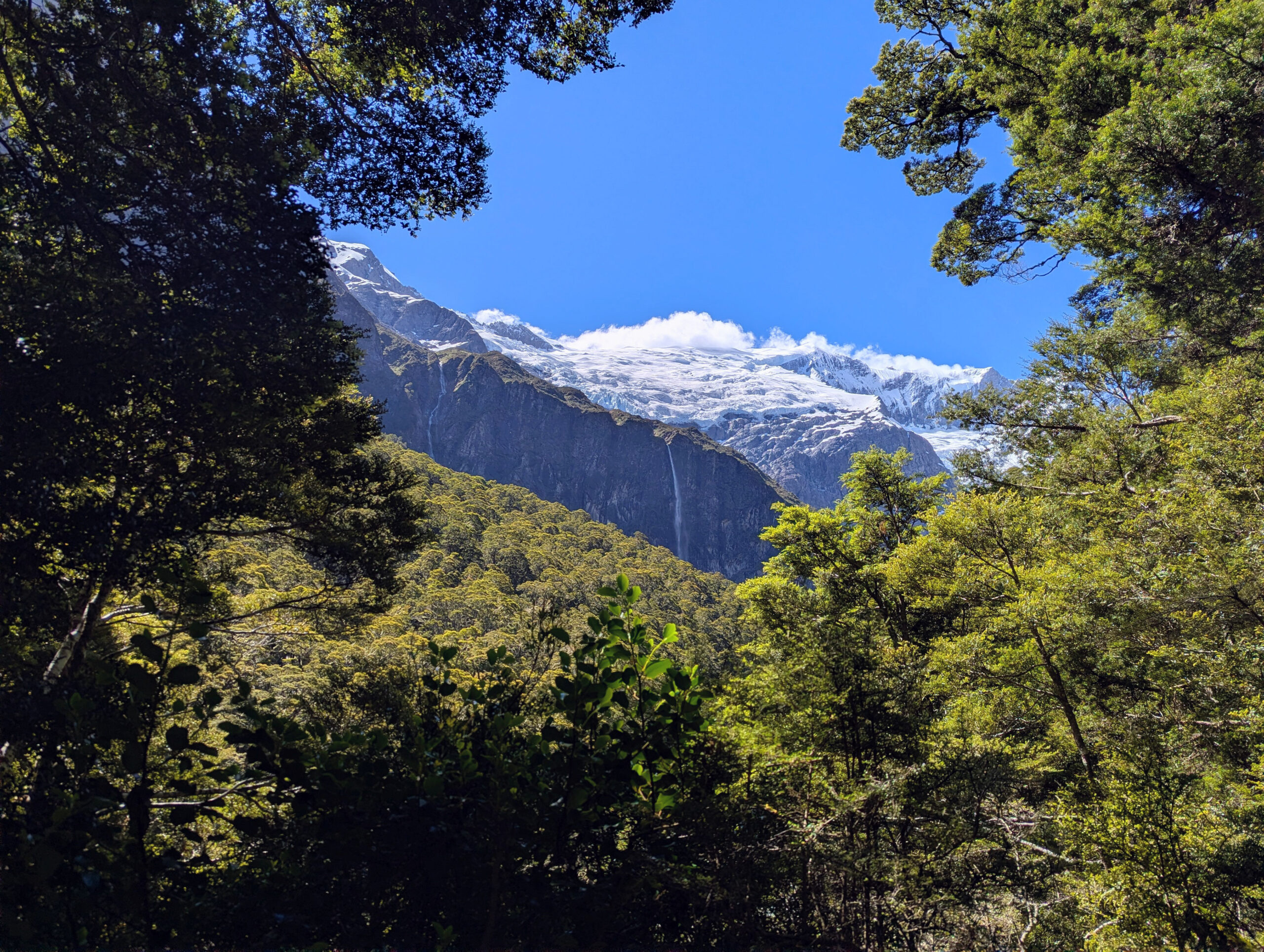
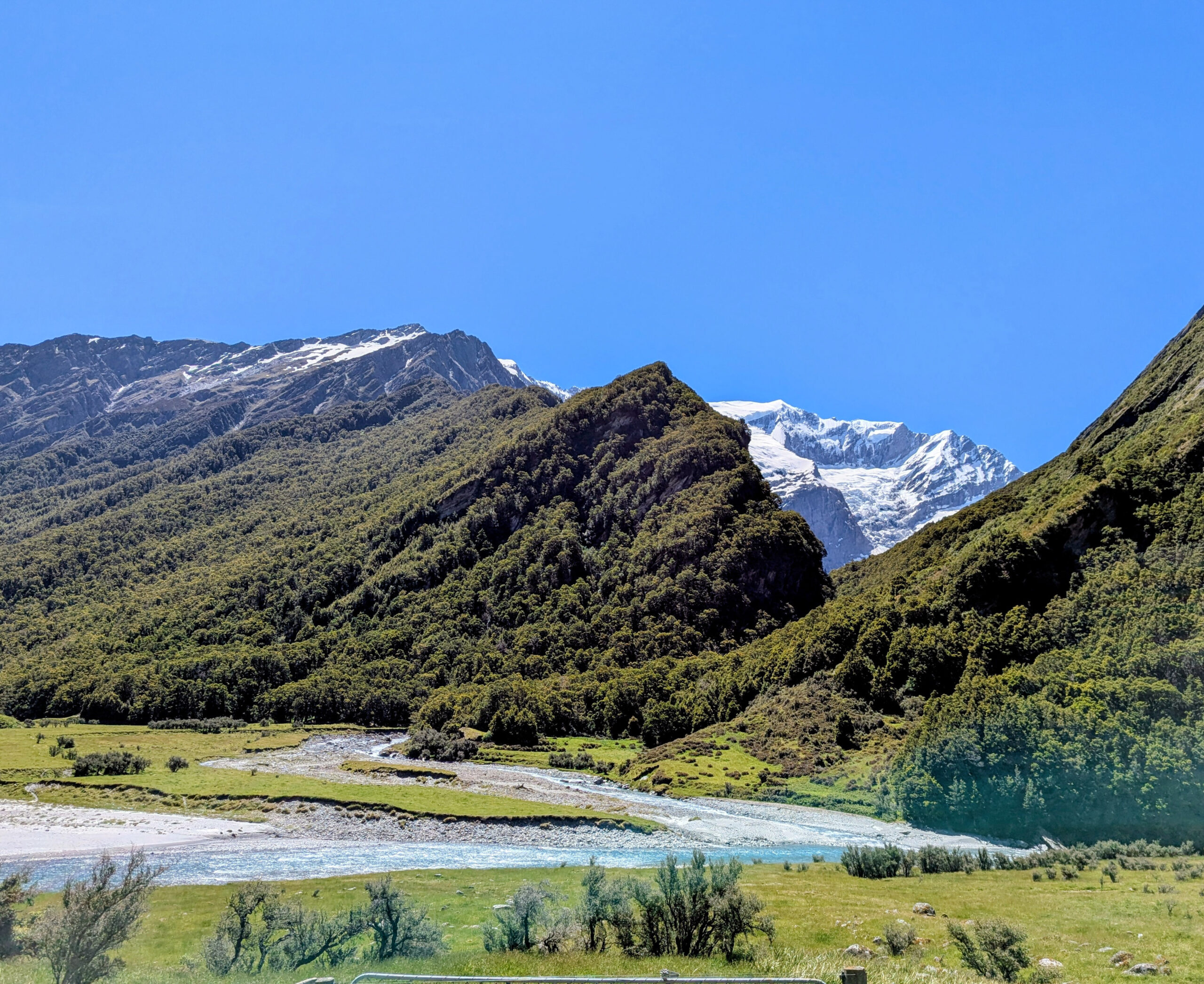
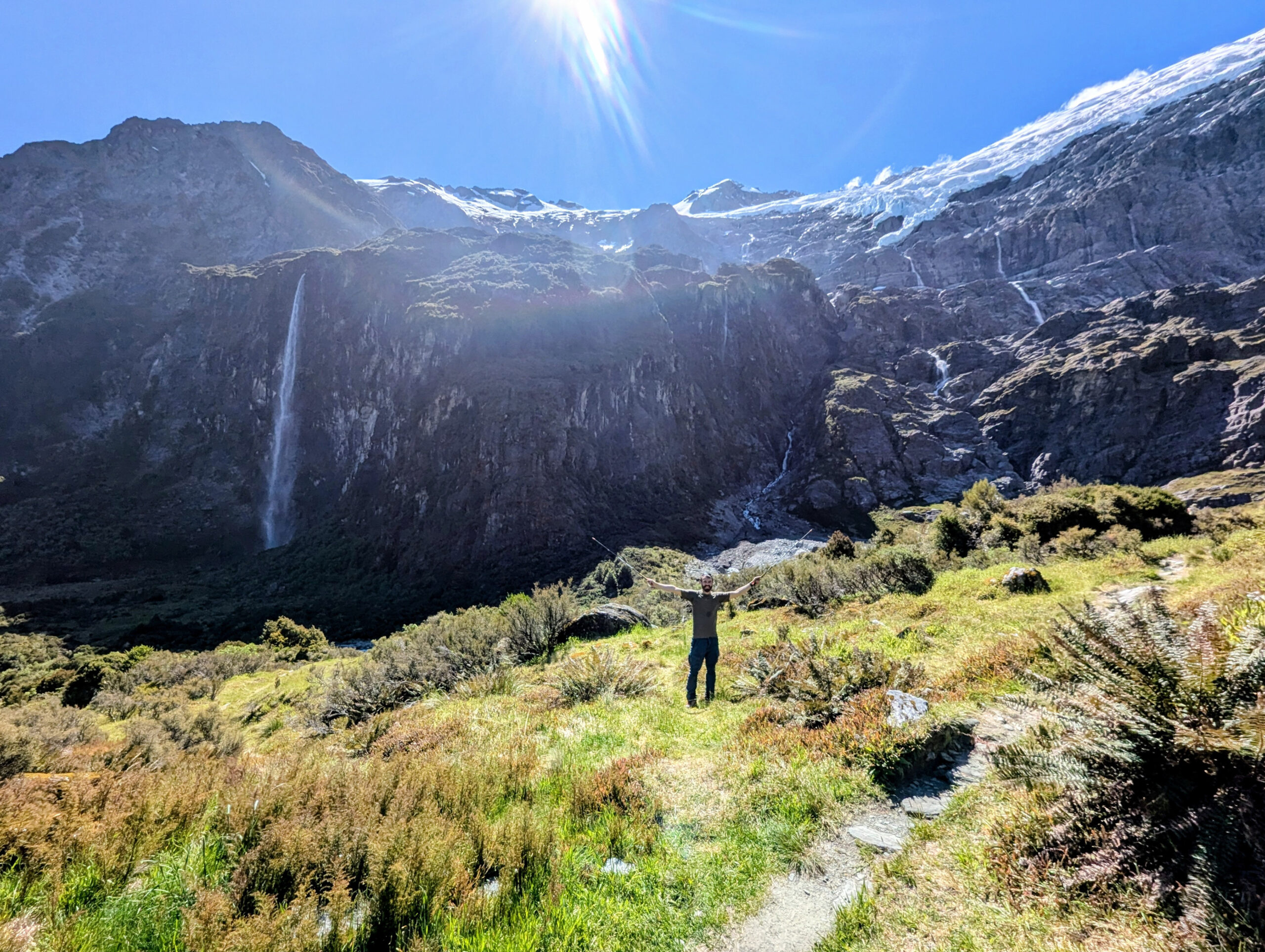
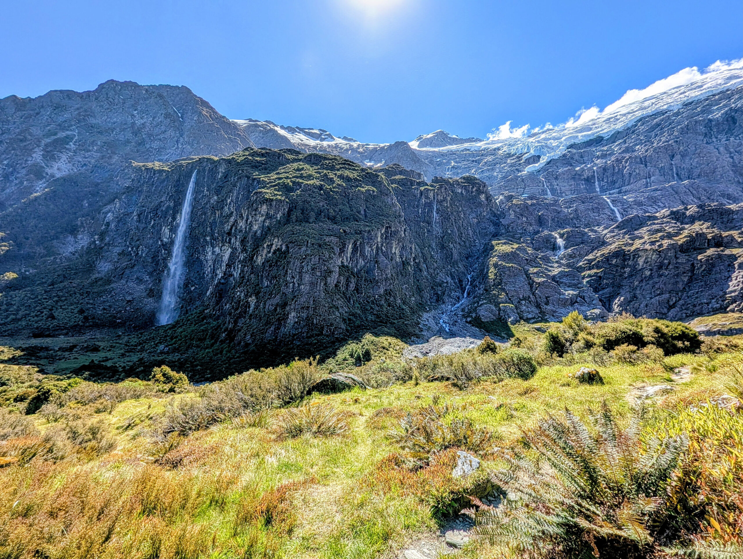
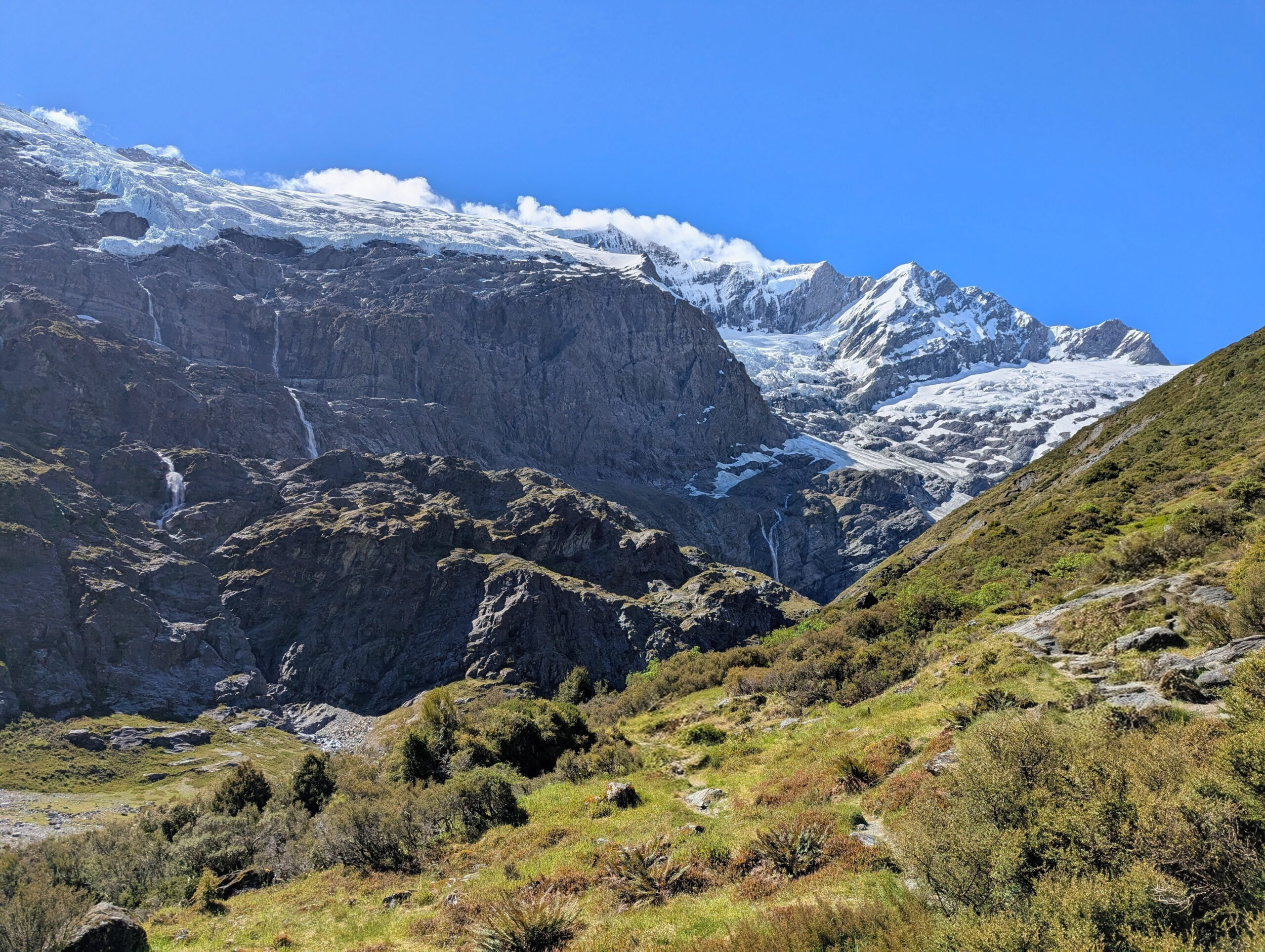
We pivoted to plan B: brute force. We drove to the Raspberry Creek car park and hiked the 9 kilometers into Aspiring Hut, a historic stone hut owned by the New Zealand Alpine Club. It sits on the valley floor, looking straight up at the glaciated peaks. We slept there, resting up for a monster day. The next morning, we didn’t just hike; we marched. We pushed up the steep, relentless track to Liverpool Hut, a bright red box perched precariously on the valley wall. The hut feels like it’s clinging to the mountainside by its fingernails. The view from there is iconic—looking down the Matukituki Valley with Mount Aspiring gleaming white in the distance. We didn’t stop. We hiked back down to the valley floor, crossed the swing bridge over the Matukituki River, and immediately climbed the other side to the Rob Roy Glacier lookout. By the time we stumbled back to the car, we had covered 35 kilometers of steep, rugged terrain. Eduardo’s knee was complaining, and my blisters from Milford were screaming, but the satisfaction was deep. We had traded the “green tunnel” for the open, vertical world we craved.
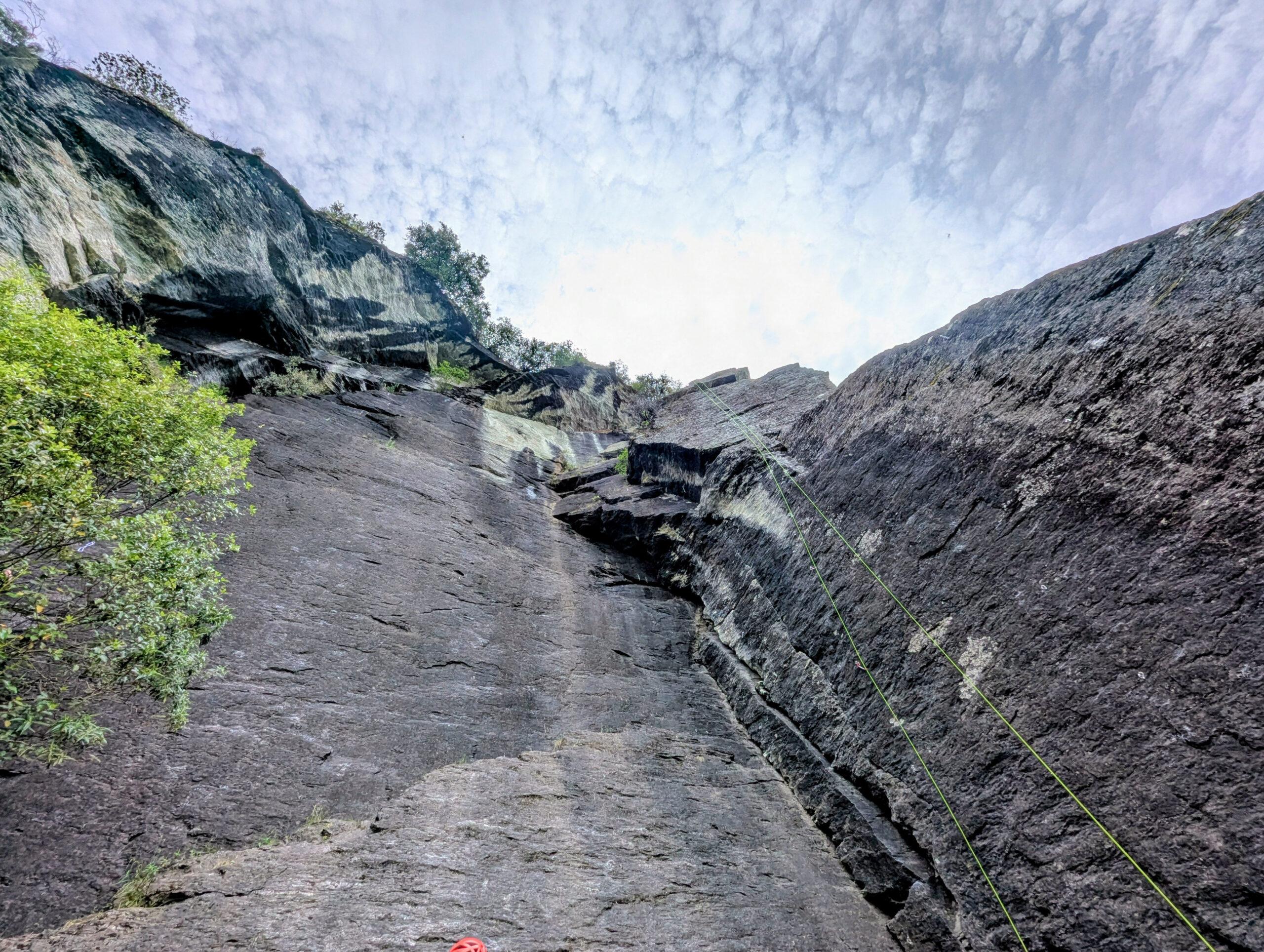
The next day, we tried to climb—rock, not ice. Eduardo knew a climber named Marina who had gear. We met up at the crags near Diamond Lake. I jumped on a 5c and a 6a+ route, but my body was empty. The marathon day had drained me, and the intense pollen in the air triggered my hay fever. I bailed, retreating to Wanaka to recover. That evening, we met Monika and Marta—the girls from the Routeburn key swap—at a bar in town. They were staying with a local host who drove jet boats. He didn’t have crazy river stories, but he tipped us off about a hike to the Mount Earnslaw Glacier—a seed that would grow in my mind for later. More importantly, over beers, Marta and I made a plan. Monika was leaving New Zealand on December 19th, so Marta would be solo over Christmas. We decided we would travel together for the holidays, linking up our itineraries to share the road.
I said goodbye to Eduardo in Wanaka. He needed to head back to Christchurch, and I was drawn north, toward the highest peaks in the country.

The Museum of Rain
I drove to Glentanner, the gateway to Mount Cook National Park, and checked into the hostel. It was raining—a cold, relentless high-country rain that obscured the mountains entirely. I refused to sit in the dorm, so I drove up the valley to the Mount Cook Visitor Center. This place is impressive, a massive concrete and glass structure designed to withstand the harsh alpine environment. It is more than just a ticket office; it is a museum of mountaineering history. I spent hours there, dry and warm, reading about the triumphs and tragedies of this range, about Sir Edmund Hillary using these peaks as a training ground for Everest. The rain lashed against the huge windows, but inside, surrounded by the stories of explorers, I felt right at home.
Back at the Glentanner hostel, I met Edie, a Dutch traveler who was also solo. We hit it off immediately, bonded by the weather and the shared dorm. That first night in Glentanner was a social endurance test. We shared a 10-bed dorm with an Indian couple, and the wife was incredibly talkative. She loved to chat, holding court in the room until midnight. While Edie, being polite, was held hostage in conversation, I shoved my earplugs in at 11:30 PM and checked out.
The dorm dynamic was a chaotic symphony. The talkative Indian couple packed their suitcases at 5:00 AM the next morning with the acoustic subtlety of a construction crew, seemingly unaware that eight other people were sleeping. Then there was the Japanese guy, who operated on a strict alpine schedule, asleep by 7:00 PM. I slept through the morning chaos like the dead thanks to my earplugs, waking up refreshed at 8:00 AM. Edie, however, looked like he had survived a negotiation. As we drove to Lake Tekapo later that morning, he vented about the noise. He hadn’t slept a wink.
The Gravel Trap
The weather in Mount Cook was still abysmal, but just down the road at Lake Tekapo, the sun was shining. We decided to escape the rain together.
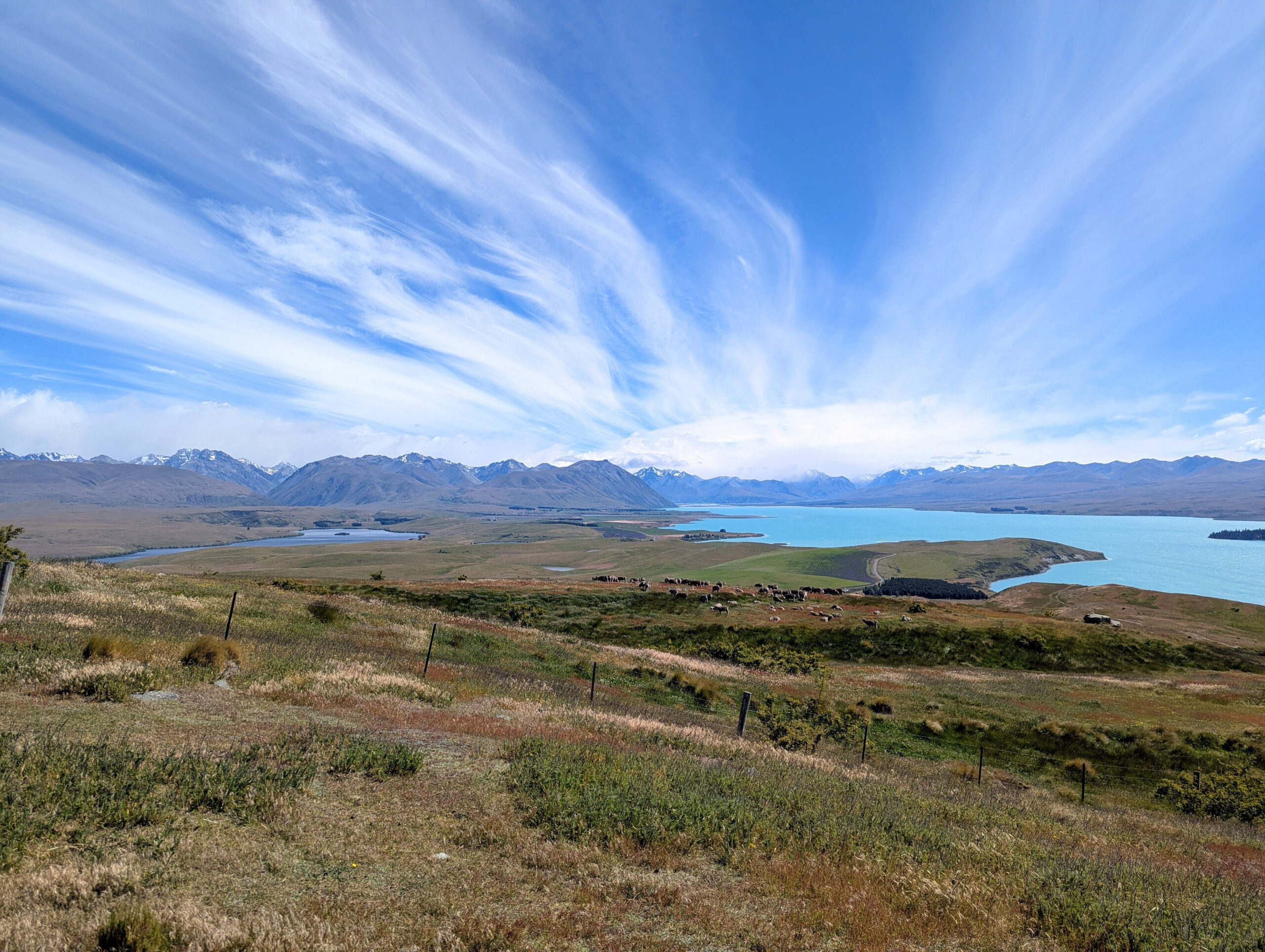
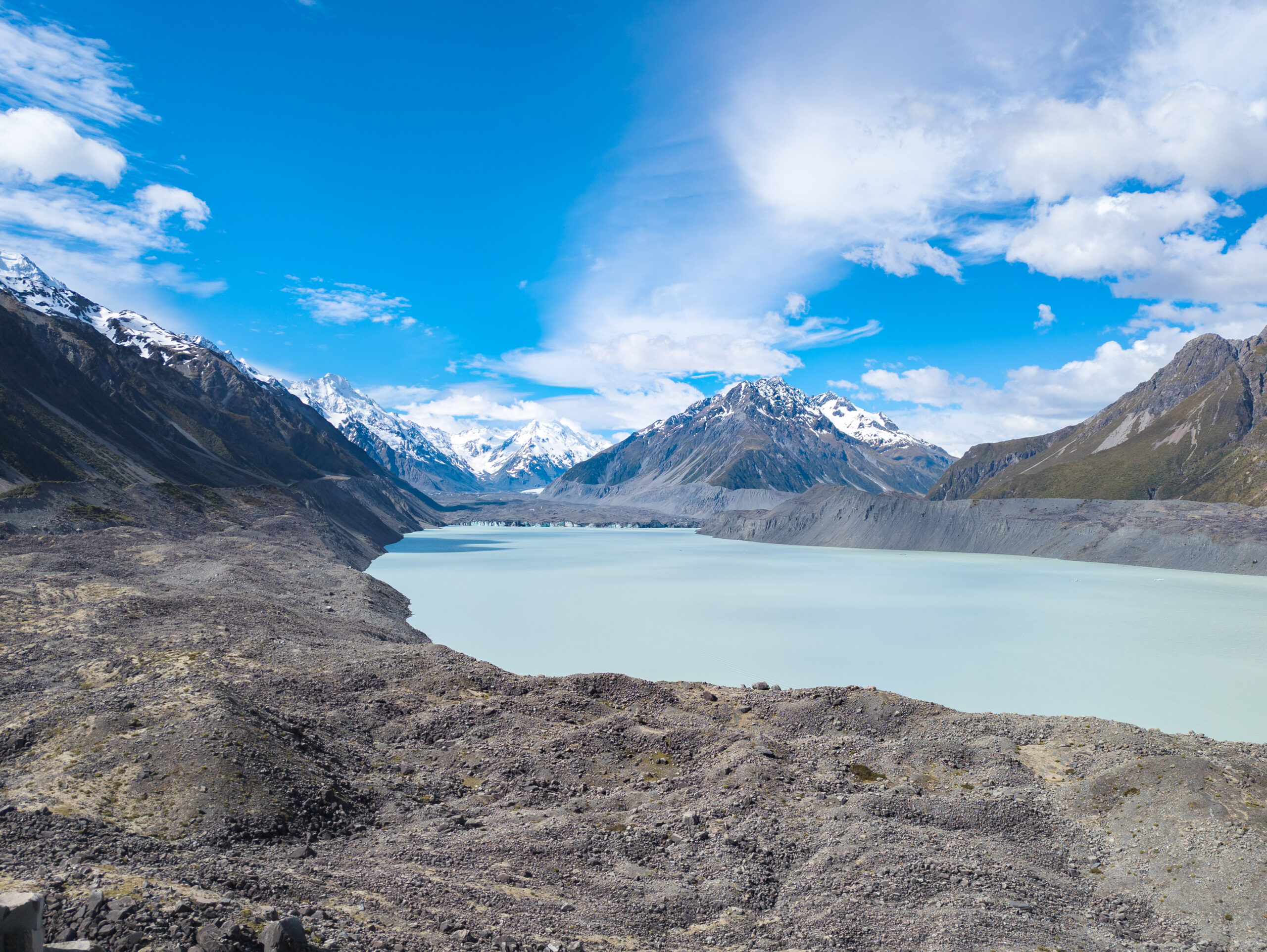
We drove to Tekapo and started with the loop walk at the Mount John Observatory. The view from up there is startling—the lake is a supernatural shade of turquoise, caused by “rock flour,” fine glacial silt suspended in the water that reflects sunlight. But I wanted to get off the beaten track. We decided to explore the eastern side of the lake, driving up the gravel Macauley Valley road.
My Toyota Corolla, the hero of this trip, finally met its match. The washboard gravel rattled the car so violently I thought the dashboard might detach. Every bump sent a shudder through the chassis. We bounced along the lakeside, dust billowing behind us, until the road deteriorated into a 4WD track. I looked at the map. Further up the valley, deep in the isolation of the Two Thumb Range, there were three more alpine lakes—hidden gems that most tourists never see. I wanted them. I hate leaving blank spots on the map. But I knew the limits of my car, and more importantly, the limits of my time. To get there would take days of walking or a serious off-road vehicle. I turned the Corolla around, feeling the sting of turning back, leaving those blue dots on the map unseen.

The Cloud Piercer
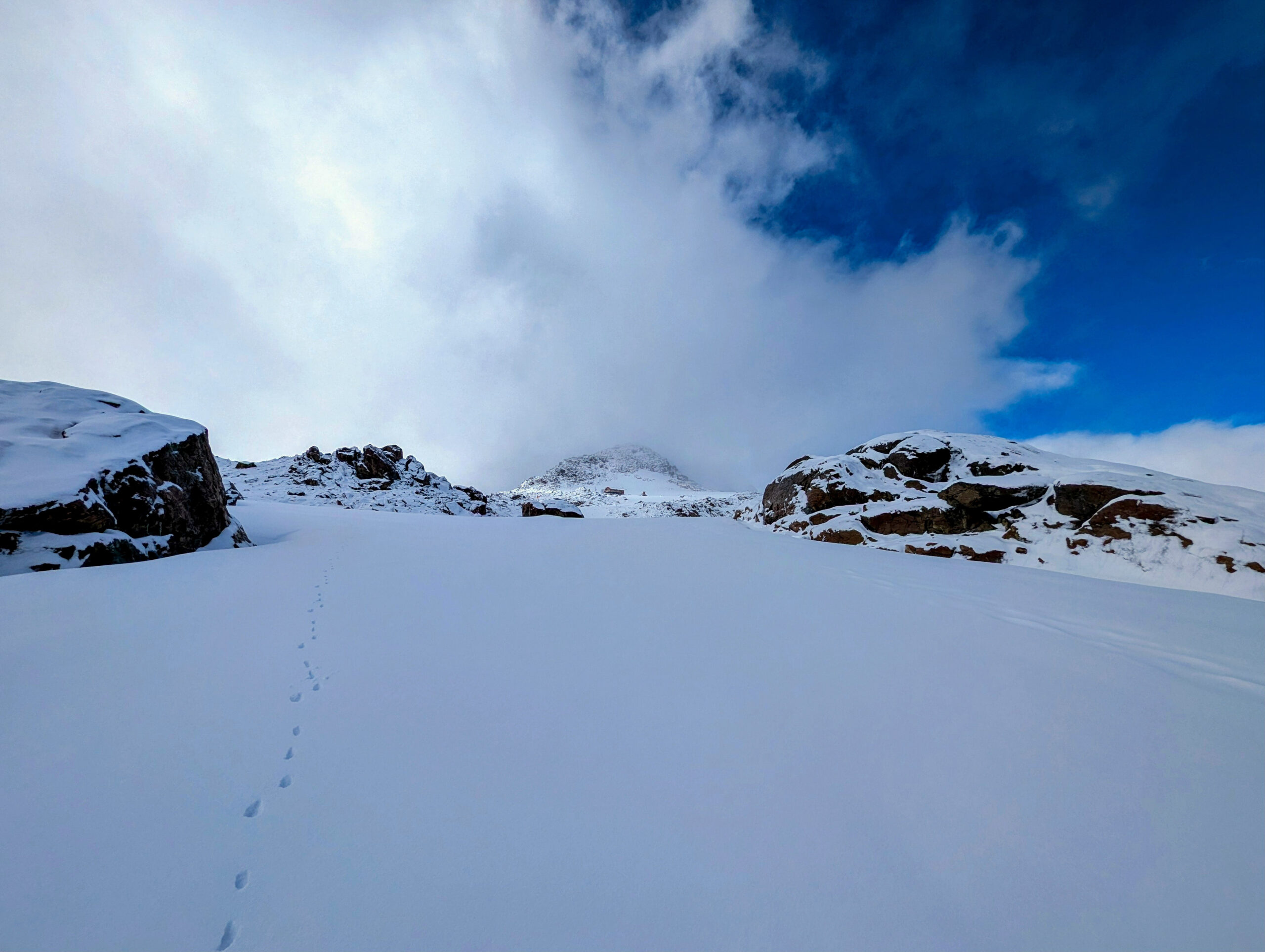
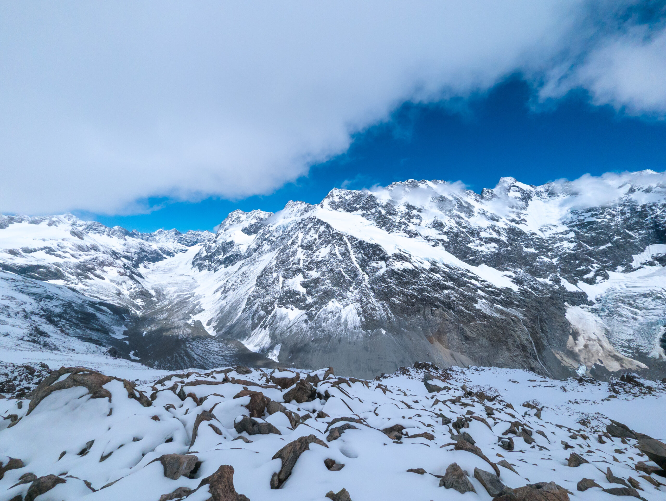
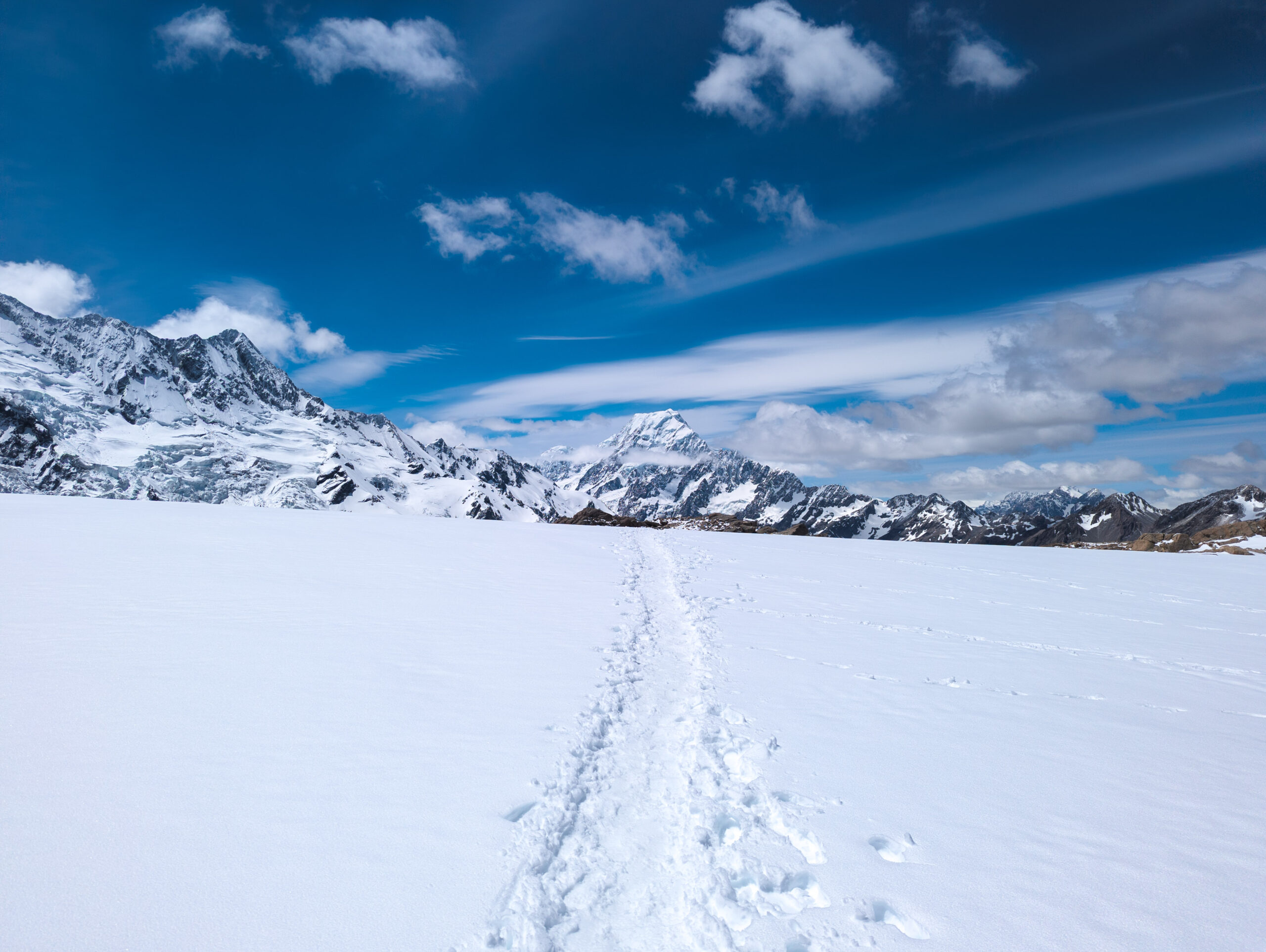
I woke at 5:30 AM the next morning. The forecast for Mueller Hut was good. I drove to the White Horse Hill campground and started the climb. It begins with the “Stairway to Heaven”—2,200 wooden steps that burn the legs before you even hit the dirt. I moved fast, passing the early risers, until I hit the snow line.
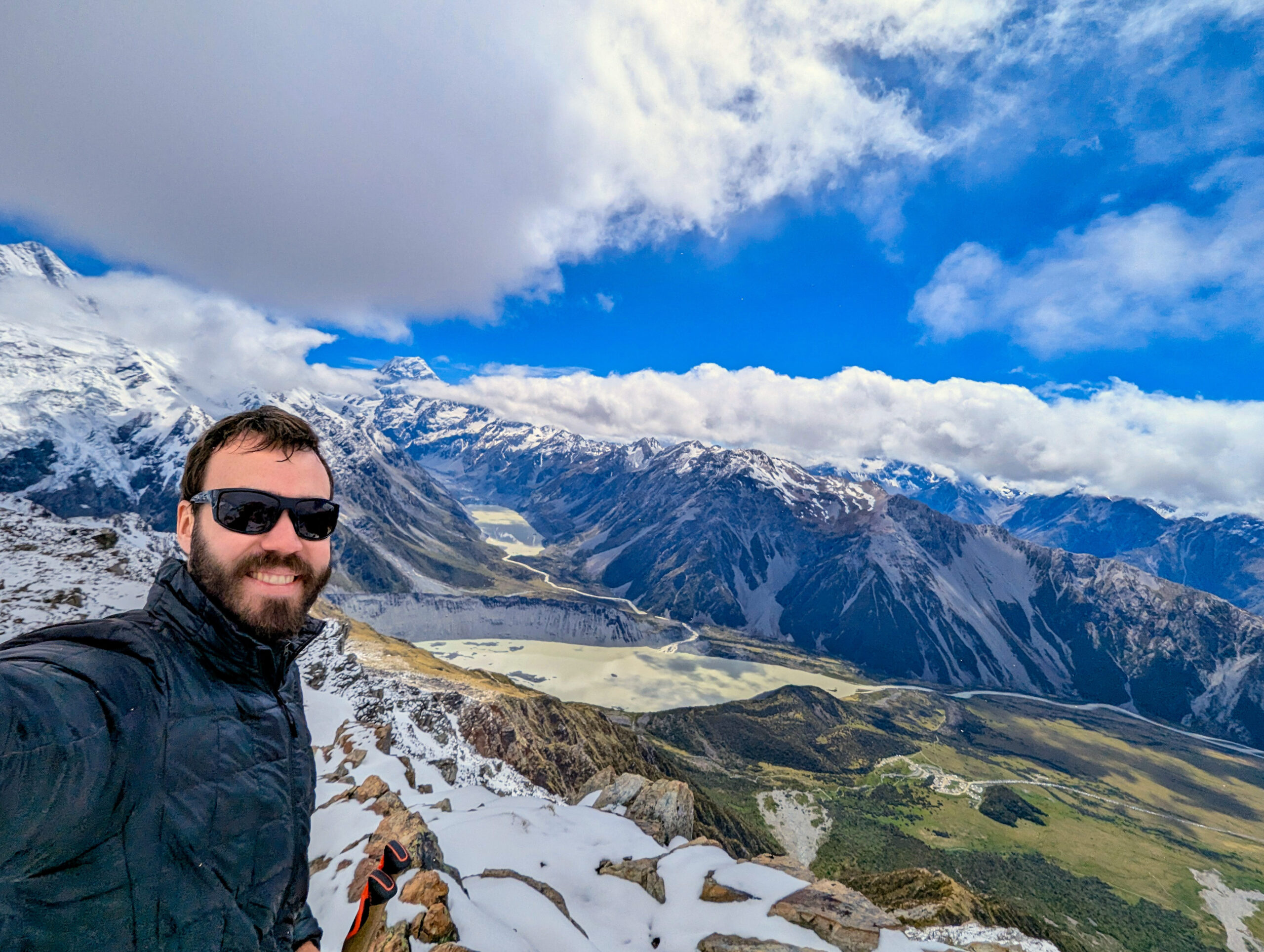
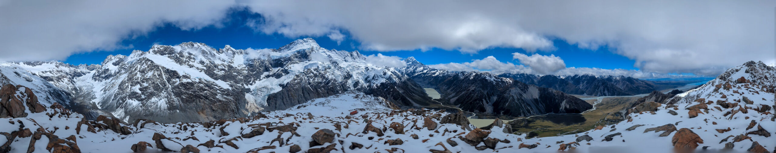
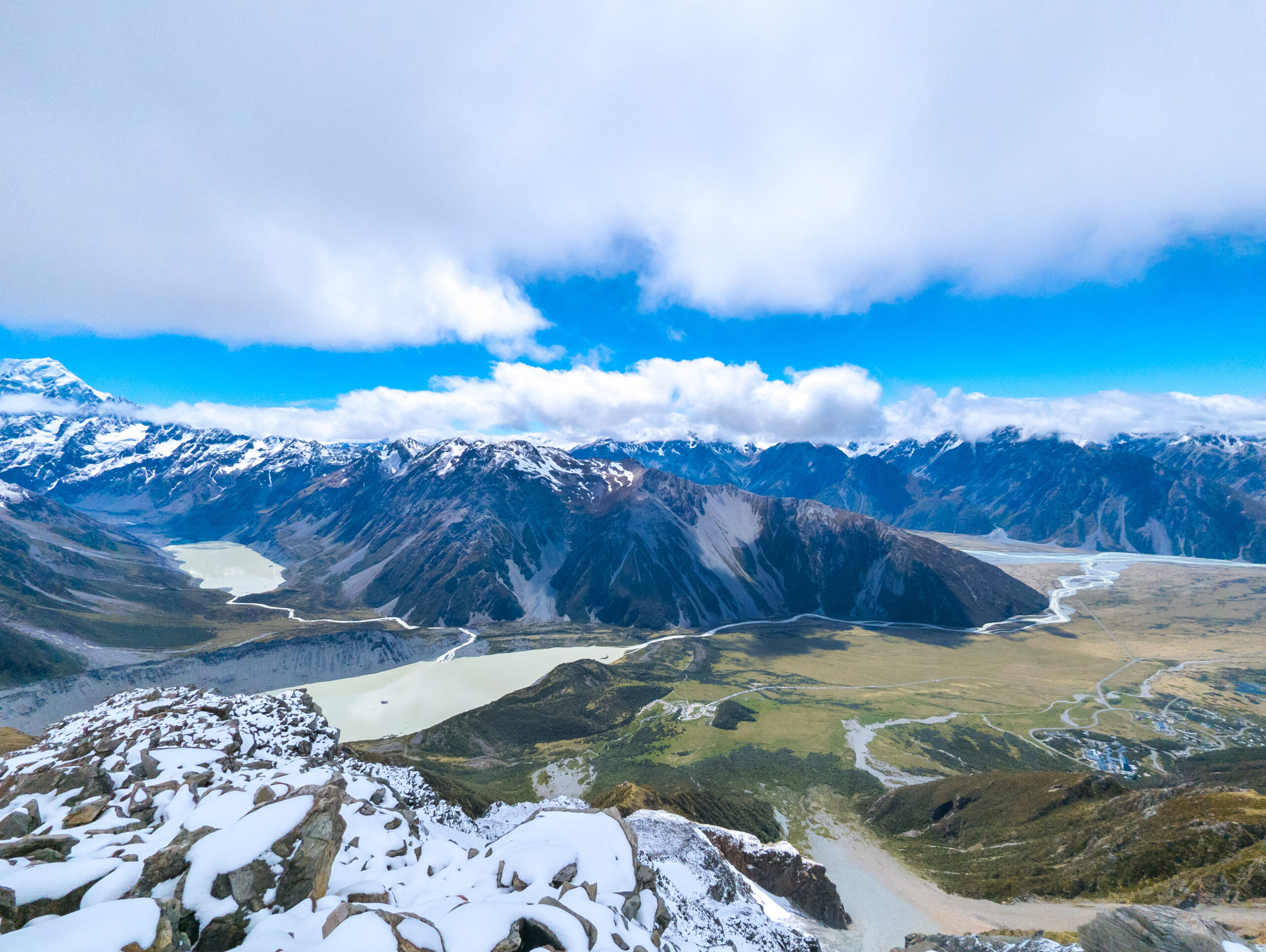
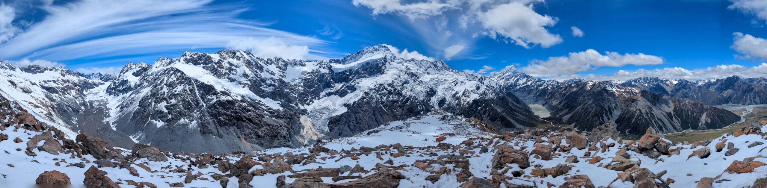
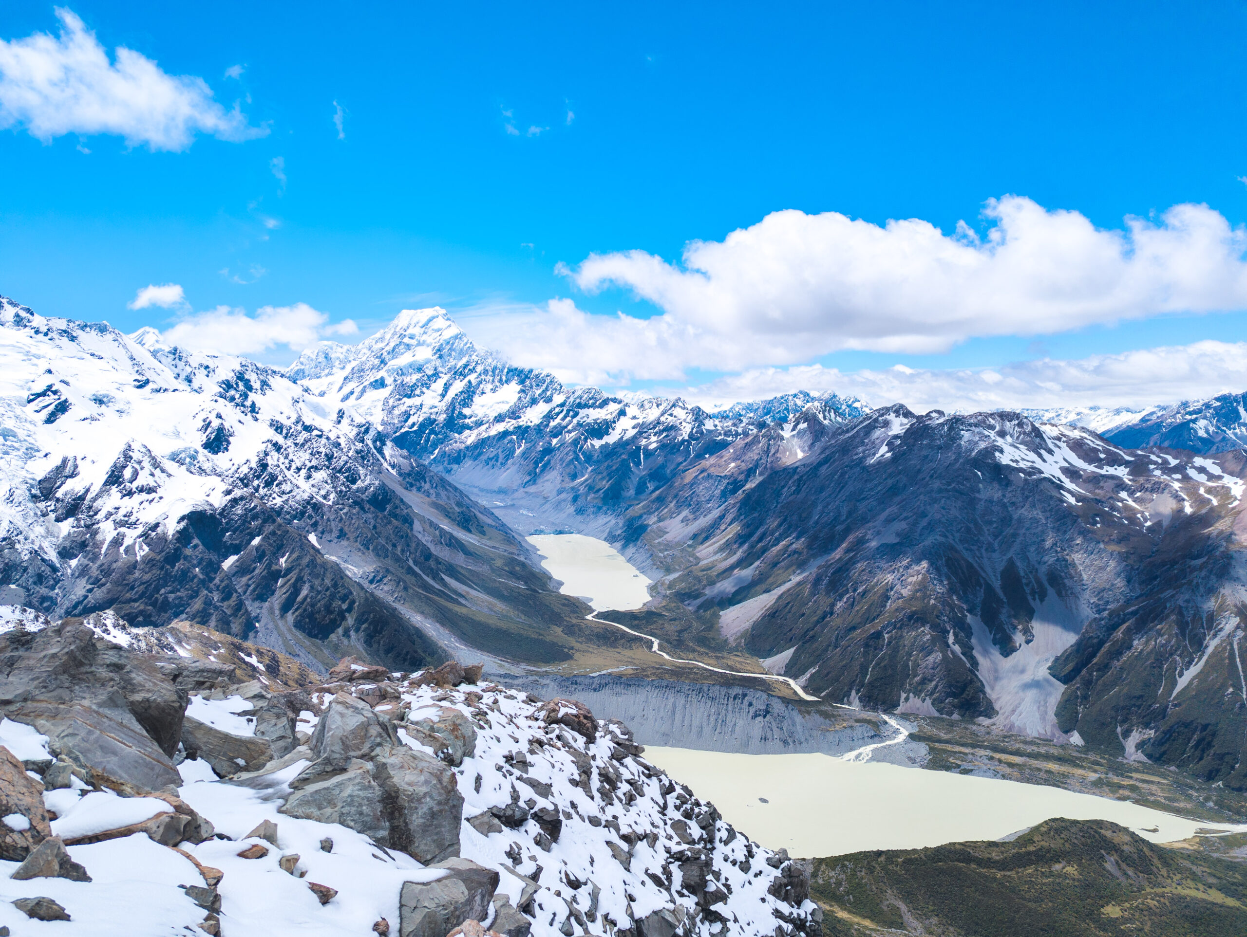
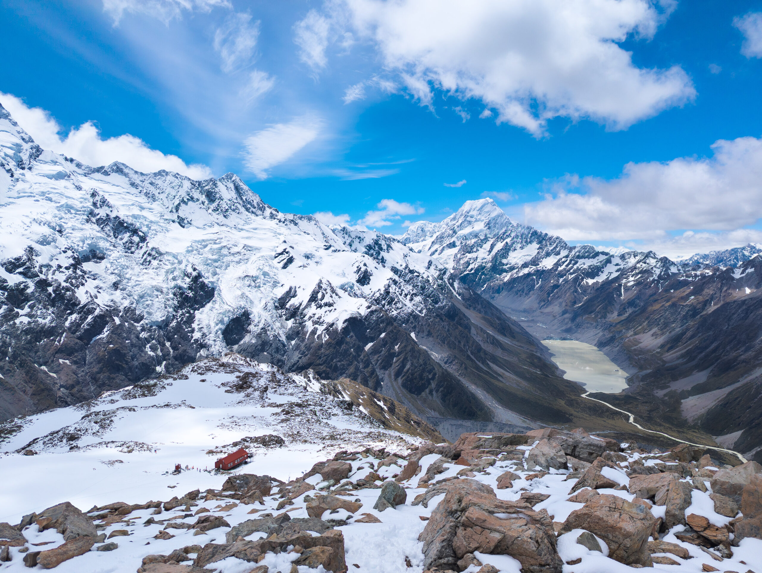
This was my element. The snow was crisp, untouched. I was the first one up, kicking steps into the white slope. The silence was absolute, broken only by the crunch of my boots. I reached the ridge, but I didn’t stop at the hut. I pushed further, hiking along the snow-covered ridge for another 1.5 hours until I reached a solitary viewpoint. Suddenly, Mount Cook (Aoraki) was there—3,724 meters of rock and ice towering above the Hooker Valley. Aoraki means “Cloud Piercer,” and standing there, watching the summit shred the passing clouds, the name felt perfect. The sheer scale of the face, the hanging glaciers, the sound of distant avalanches rumbling like thunder… it was spiritual.
I pulled out my phone. Surprisingly, I had signal. I called my mother in Switzerland. I stood there on the ridge, surrounded by the Southern Alps, describing the view to her in real-time. It was a surreal bridge between two worlds—the quiet, snowy isolation of New Zealand and the familiar voice of home, thousands of miles away.
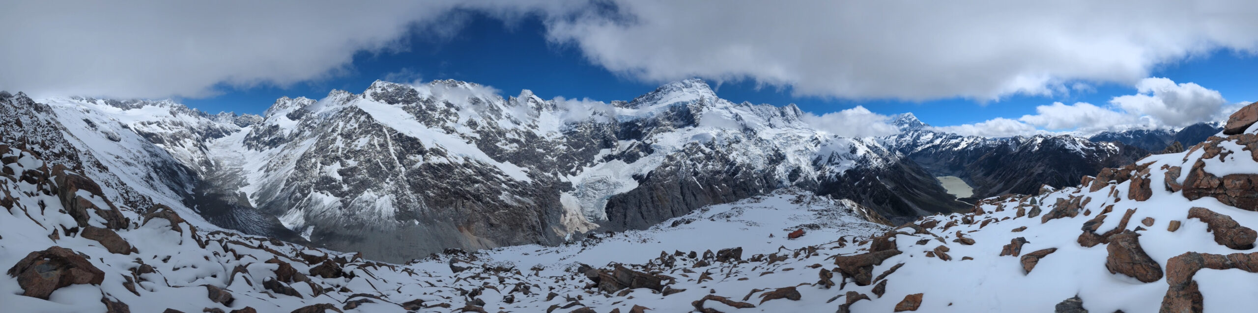
I stayed up there for nearly three hours. I couldn’t leave. The hut was below me, and slowly, the first groups of hikers started to arrive there. But up here, I had a 360-degree panorama of the Southern Alps entirely to myself. I watched the light change on the Sealy Range, watching the shadows lengthen and the snow soften in the sun. I waited until the first few hikers from the hut started to make their way up toward my viewpoint. Only then, when my solitude was about to be broken, did I pack up and head down.
The snow had turned to slush. I didn’t walk; I skied. Using my hiking poles for balance, I slid down the slopes in my boots, carving turns, whooping as I passed the hikers struggling on the way up. They looked miserable, slipping and sliding; I was having the time of my life.

The Speed of Light
I had originally booked a ski-plane flight to land on the Tasman Glacier, eager to see the ice from above. I waited at the small airport for hours, but the wind was too high for the fixed-wing aircraft. They offered me a helicopter tour instead for the same price, but I refused. I wanted the romance of the ski-plane, the specific mechanics of landing on a glacier. If I couldn’t have that, I didn’t want the sanitized version. I canceled the booking and drove out of the park.
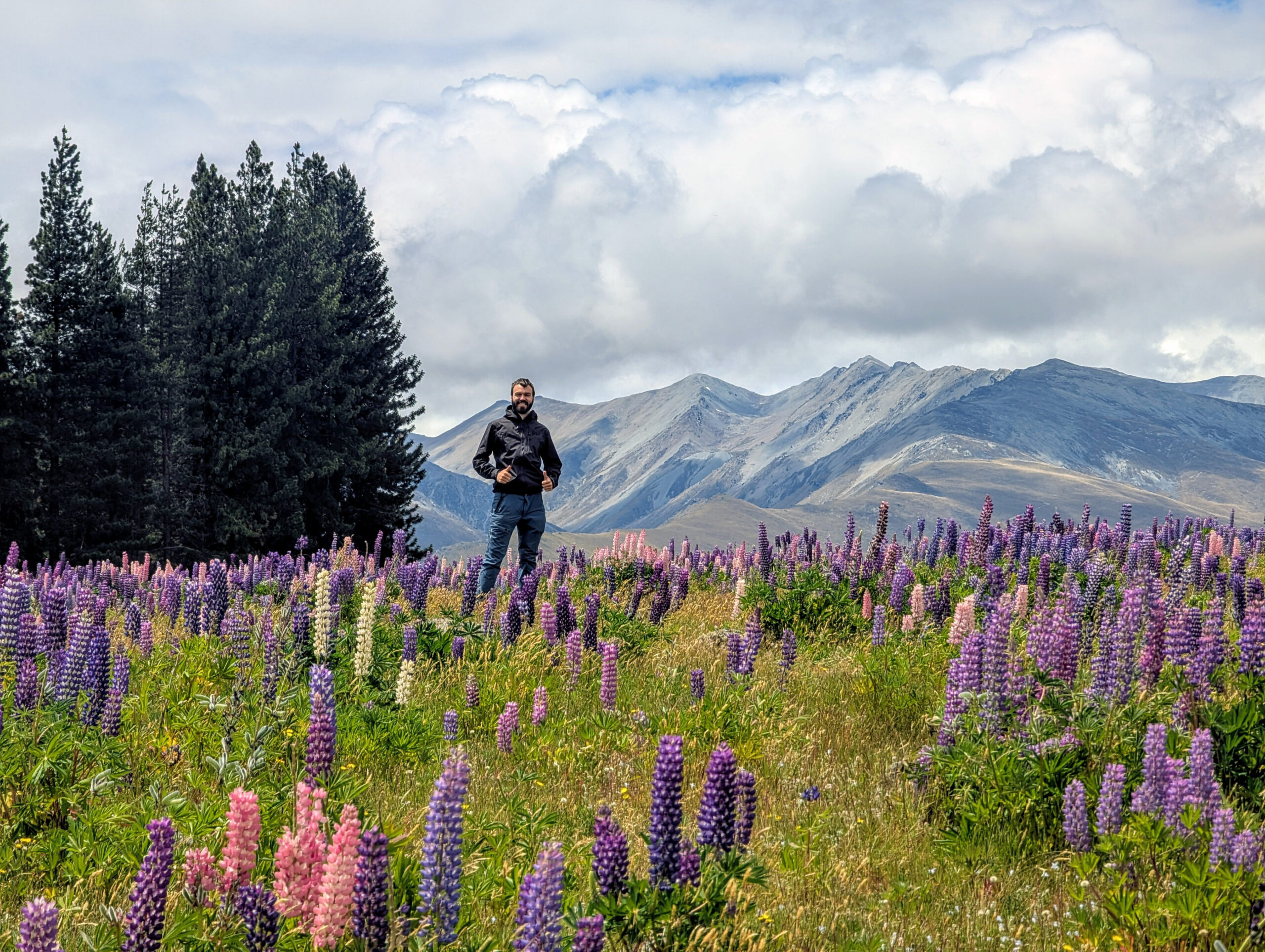
I left on a high, driving fast on the long, straight roads of the Mackenzie Basin. This area is a vast intermontane basin, formed by ancient glaciers, and the roads are hypnotic—endless strips of tarmac stretching toward the horizon, flanked by golden tussock.
In truth, driving was the most dangerous thing I did in New Zealand. The roads are empty and straight, begging for speed. I often found myself cruising at 160 km/h, the landscape blurring past. I came into a long curve, and for once, I slowed down slightly.
Blue and red lights flashed in my rearview mirror.
The police officer clocked me at 129 km/h. He was polite, almost disappointed. “Why the rush?” he asked. I didn’t have an answer. I wasn’t rushing to anything; I was just moving at the speed of the landscape. He handed me a ticket for $230 NZD. As I drove away—at exactly 100 km/h—I realized how lucky I was. If he had caught me on the straights five minutes earlier, the fine would have been astronomical, or I might have lost my license. It was a $230 reality check, and it was the only thing that managed to slow me down all week.
🔒 Protected Content
Enter password to view Part 6 Financial Breakdown.