
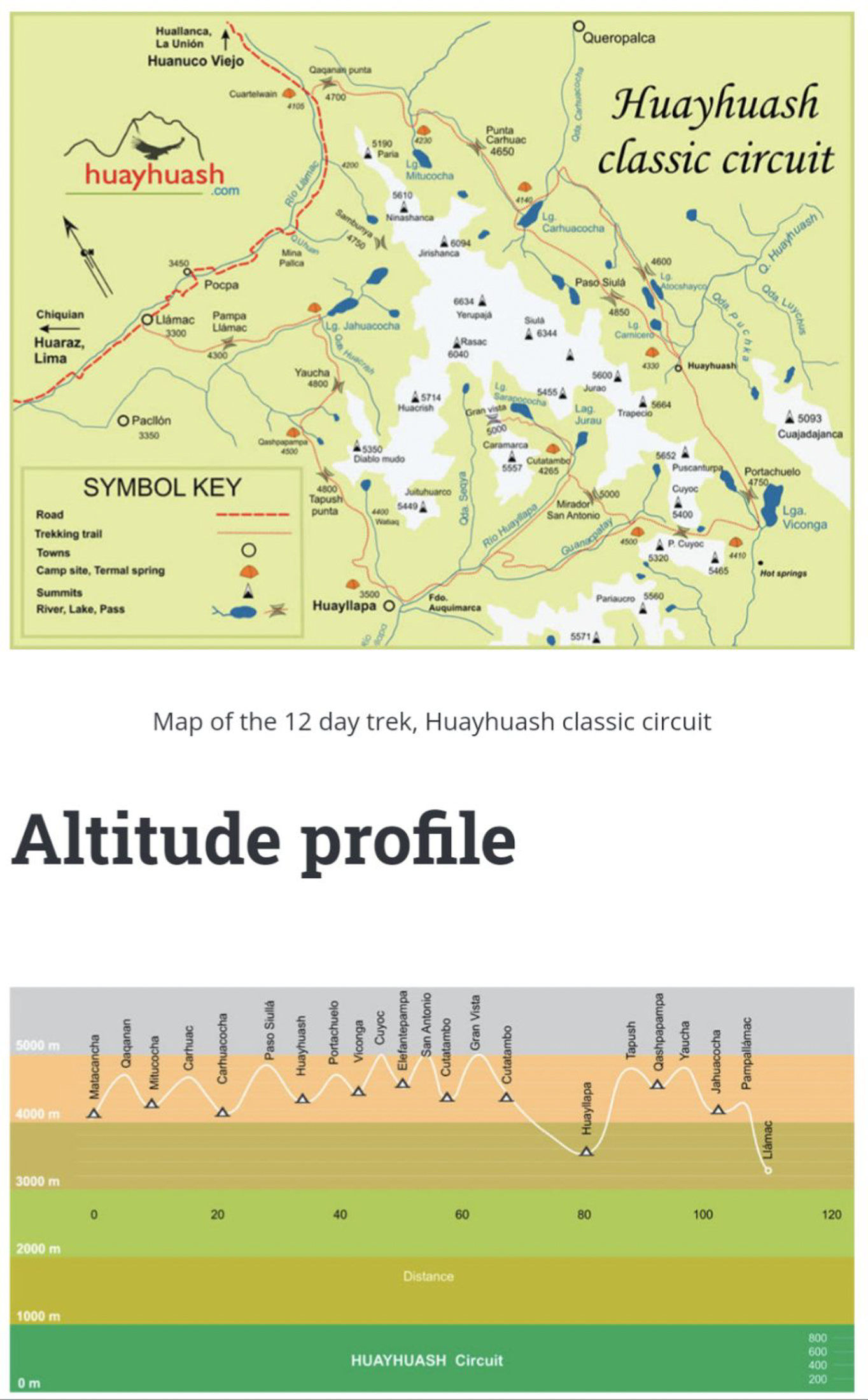
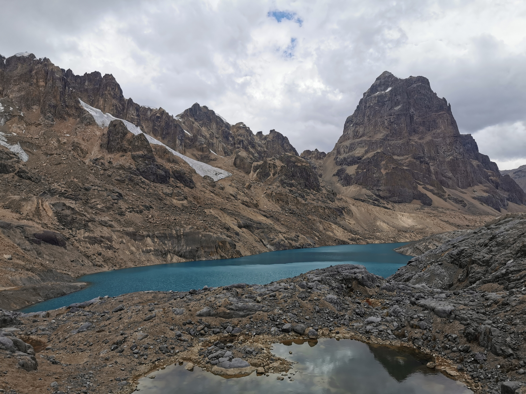
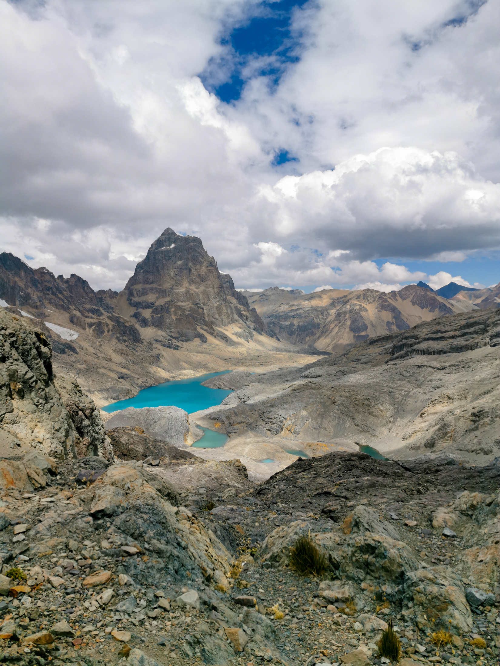
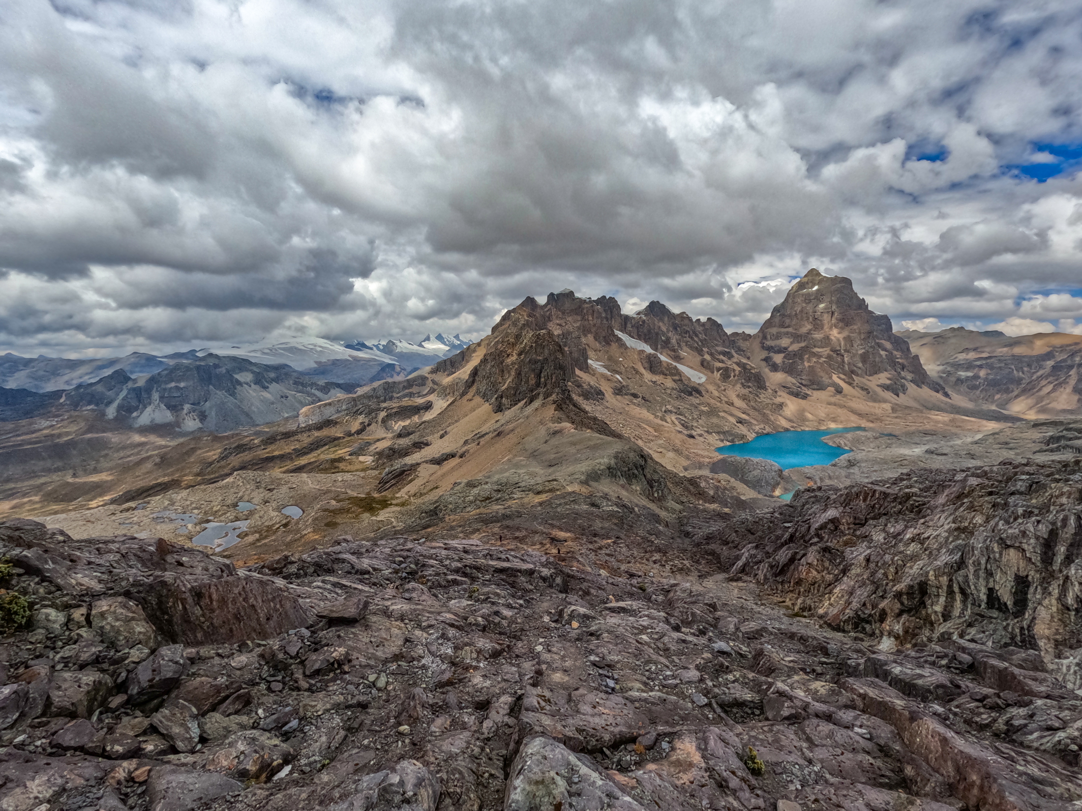
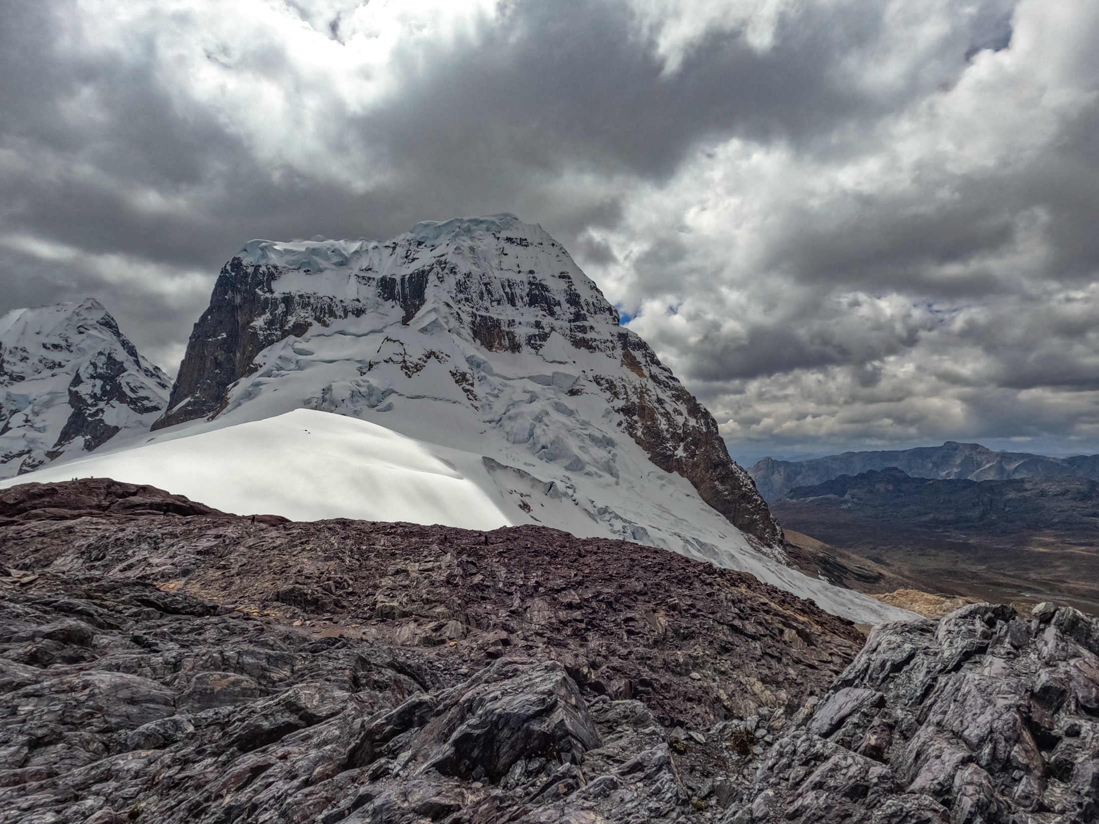
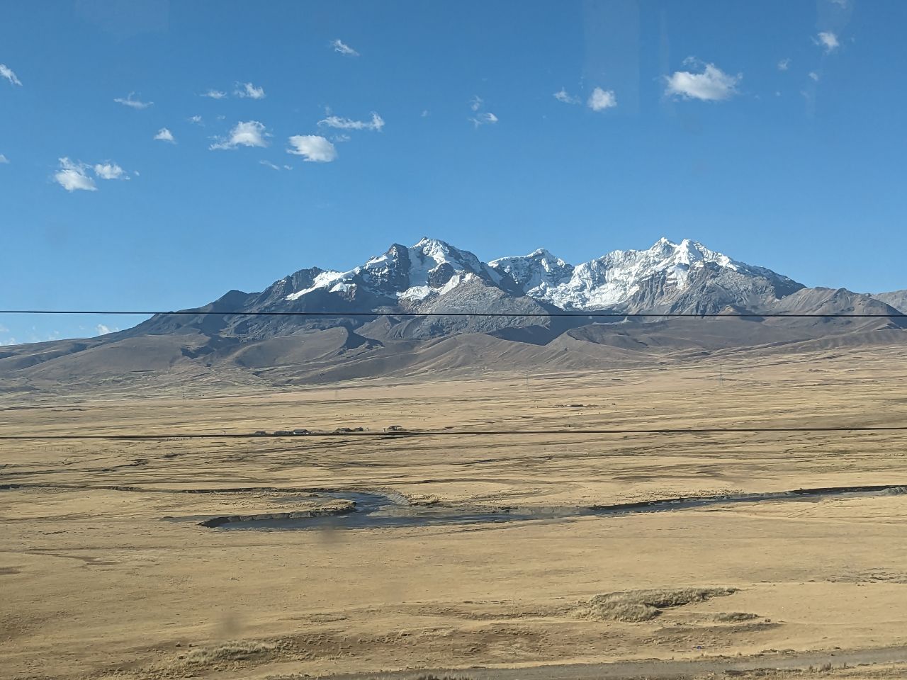
In terms of landscapes, I would describe this trek as the most beautiful one I have ever experienced in my life. The Cordillera Huayhuash is a compact, dramatically glaciated mountain range nestled in the Peruvian Andes south of the Cordillera Blanca. Dominated by sheer 6000 meter summits like Yerupajá and Siula Grande, the circuit wraps around jagged limestone and granite spires, turquoise glacial lakes, cascading waterfalls, and high alpine passes mostly exceeding 4500 meters.
Below is a comprehensive guide to completing the 8 day circuit. It covers the day by day route reports, high altitude camping logistics, communal pass fees, and practical advice regarding tour agency realities in Huaraz.
TABLE OF CONTENTS
- Quick Facts Specification Sheet
- Trailhead and Acclimatization Logistics
- Complete 8 Day Trekking Circuit Itinerary
- Day 1: Huaraz to Quartelhuain and Laguna Mitucocha
- Day 2: Laguna Mitucocha to Laguna Carhuacocha
- Day 3: Laguna Carhuacocha to Huayhuash via Siula Pass
- Day 4: Huayhuash to Viconga and Afternoon Snowfall
- Day 5: Viconga across Punta Cuyoc to Huayllapa Village
- Day 6: Huayllapa to Laguna Jahuacocha via 1200m Ascent
- Day 7: High Pass Traverse and Descent to Camp
- Day 8: Final Pass Descent to Llamac and Return to Huaraz
- Community Fees and High Altitude Camping
- Practical Tips and High Altitude Safety
- Tour Operator Reality and Budget Breakdown
- Peru Trip Video Documentary
QUICK FACTS: CORDILLERA HUAYHUASH CIRCUIT
| Location | Cordillera Huayhuash, Peruvian Andes, Peru |
| Activity Type | Multi Day High Alpine Circuit Trek |
| Total Distance | Approximately 120 to 135 km full circuit |
| Trek Duration | 8 Days on trail |
| Cumulative Elevation Gain | Approximately 6500 meters |
| Highest Altitude Pass | Punta Cuyoc at 5000 meters and Siula Pass at 4834 meters |
| Starting Altitude | 4180 meters at Quartelhuain Matacancha |
| Circuit Trailhead | Quartelhuain start and Llamac village finish |
| Acclimatization Base | Huaraz, Peru at 3052 meters |
| Difficulty Rating | Very Demanding High Altitude Alpine Trek |
| Best Trekking Season | May through September (Andean Dry Season) |
| Visited and Completed | August 2023 |
TRAILHEAD AND ACCLIMATIZATION LOGISTICS
Reaching the Cordillera Huayhuash requires careful preparation starting in the mountain hub of Huaraz, situated at 3052 meters in the Callejón de Huaylas. Huaraz is easily accessed from Lima via daily long distance buses taking approximately 8 hours across the high Conococha plateau.
Acclimatization is the single most critical factor for success on this trek. Unlike circuits with gentle warm up days, the Huayhuash Circuit starts above 4100 meters on day one and ascends immediately over a 4700 meter pass. Attempting this trek without prior acclimatization risks severe altitude sickness. Trekkers should spend at least three full days in Huaraz completing progressive day hikes such as Laguna Wilcacocha at 3725 meters, Laguna Churup at 4450 meters, and Laguna 69 at 4600 meters before setting out.
Transport from Huaraz to the northern trailhead at Quartelhuain takes around 5 to 6 hours by private van or organized transport, traveling south past Chiquián before winding along dirt mountain roads into the high valleys.
COMPLETE 8 DAY TREKKING CIRCUIT ITINERARY
The classic circuit covers eight days of high altitude trekking through pristine glacial valleys, crossing high alpine passes daily. Use the overview table below to navigate directly to the detailed daily reports, terrain summaries, and photo galleries for each stage.
| Stage | Route and Mountain Passes | Distance | Camp and Elevation | Stage Guide |
|---|---|---|---|---|
| Day 1 | Quartelhuain over Cacananpunta Pass (4700m) | 8.5 km | Laguna Mitucocha (4230m) | Day 1 Report |
| Day 2 | Carhuac Pass (4650m) to Laguna Carhuacocha | 10.5 km | Laguna Carhuacocha (4138m) | Day 2 Report |
| Day 3 | Three Lagoons Viewpoint and Siula Pass (4834m) | 14.0 km | Huayhuash Camp (4330m) | Day 3 Report |
| Day 4 | Portachuelo Pass (4750m) and Southern Ridge Ascent | 15.0 km | Viconga Camp (4400m) | Day 4 Report |
| Day 5 | Punta Cuyoc (5000m) to Huayllapa Mountain Village | 13.0 km | Huayllapa Village (3490m) | Day 5 Report |
| Day 6 | 1200m Vertical Ascent and Jahuacocha Ridge View | 13.0 km | Laguna Jahuacocha (4070m) | Day 6 Report |
| Day 7 | High Andean Pass Traverse and Valley Descent | 10.5 km | Valley Plateau Camp (4100m) | Day 7 Report |
| Day 8 | Final Mountain Pass and Descent to Llamac | 8.0 km | Llamac to Huaraz | Day 8 Report |
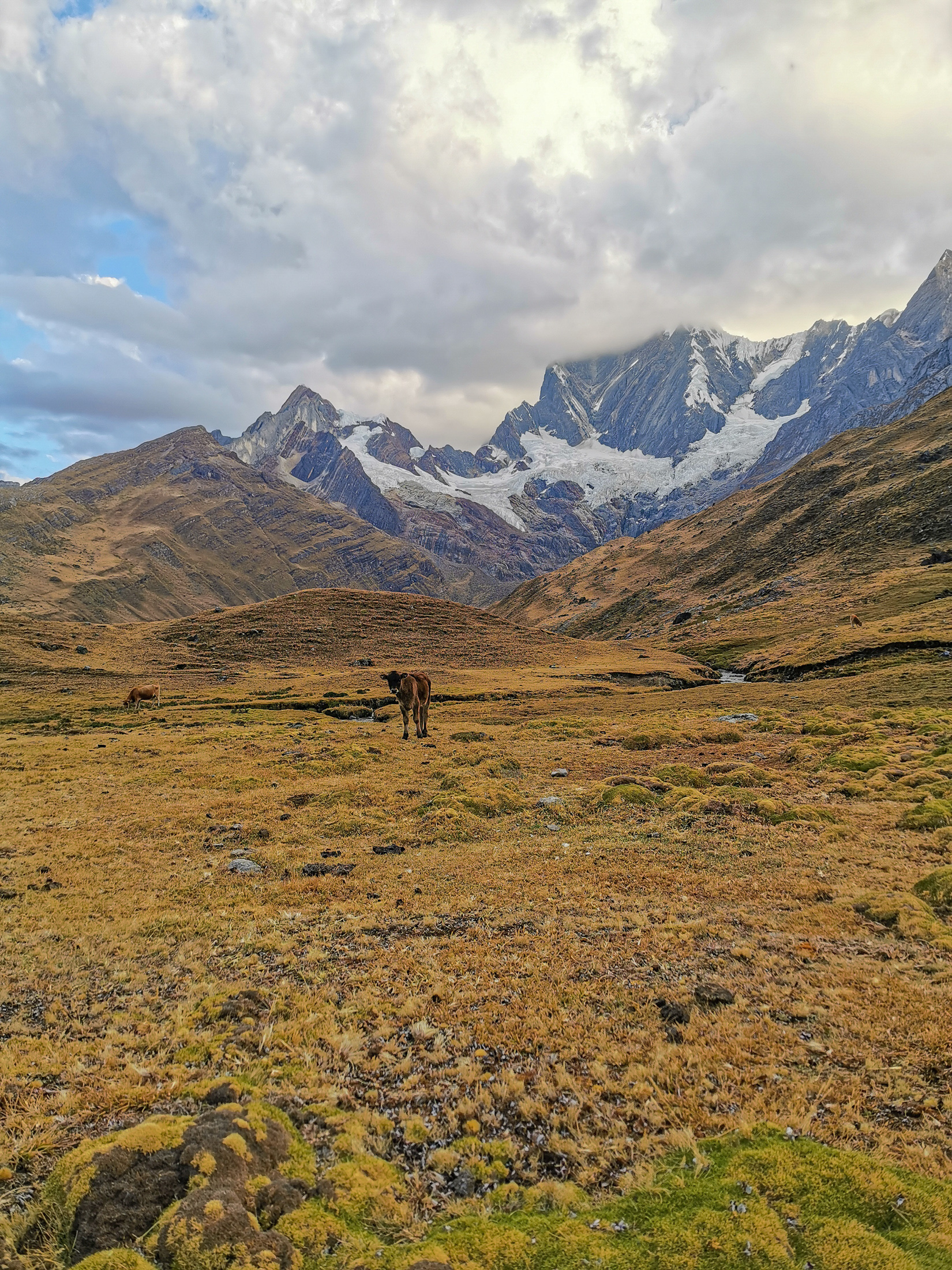
DAY 1: HUARAZ TO QUARTELHUAIN AND LAGUNA MITUCOCHA
The hiking trip commenced with an early departure from Huaraz at 4:00 am in the morning. Hours of driving stretched ahead of us through the dark valleys. We made our first stop around 7:00 am for breakfast. However, this meal felt like daylight robbery as we paid more than we should have for what amounted to a rather modest spread.
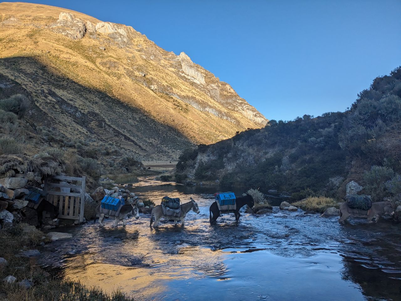
The road beckoned us once again, and we pressed on until around 10:00 am when we finally reached the trailhead at Quartelhuain. We spent about an hour there preparing gear while the camp crew loaded supplies onto pack donkeys.
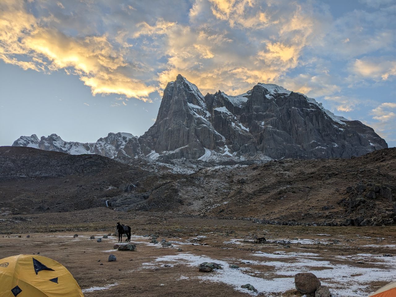
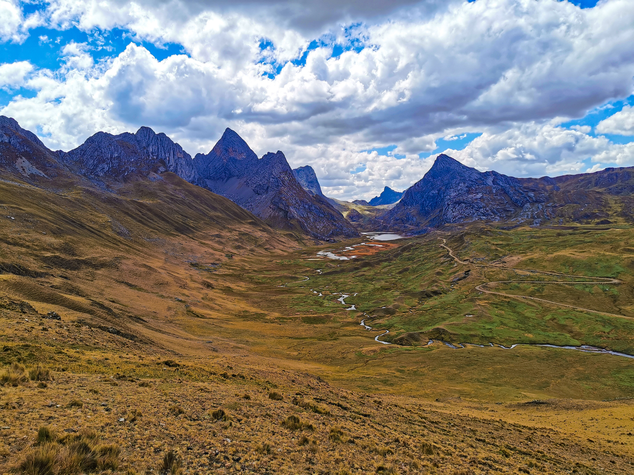
Our actual trek began at 11:00 am with a demanding 500 meter altitude gain over Cacananpunta Pass at 4700 meters. The group deliberately took it slow, mindful of the thin air and the need for steady acclimatization. Upon reaching the crest, we were met with a stunning vista unveiling both valleys, opening the breathtaking landscape we would traverse over the coming week.
Our first camp greeted us after four hours of hiking, including our lunch break. Covering 8.5 kilometers, it was a relatively short introductory day. In the late afternoon, we consulted our guide to learn more about upcoming route variations. As evening descended, we went on a secondary hike to nearby Laguna Mitucocha beneath the sheer walls of Jirishanca and Rondoy. We wrapped up the day with a satisfying dinner in the mess tent and retired to our sleeping bags by 8:00 pm, hoping the Andean night would stay mild.
DAY 2: LAGUNA MITUCOCHA TO LAGUNA CARHUACOCHA
The second day of our trek began at 6:00 am. Our guide thoughtfully delivered hot coca tea directly to our tents. After efficiently packing our personal bags, breakfast was served at 6:30 am while our crew dismantled the camp tents.
Our journey kicked off with a steady ascent up toward Carhuac Pass at 4650 meters. While not as steep as the initial climb on day one, we made our way up slowly, rewarded by panoramic views back toward the Mitucocha valley.
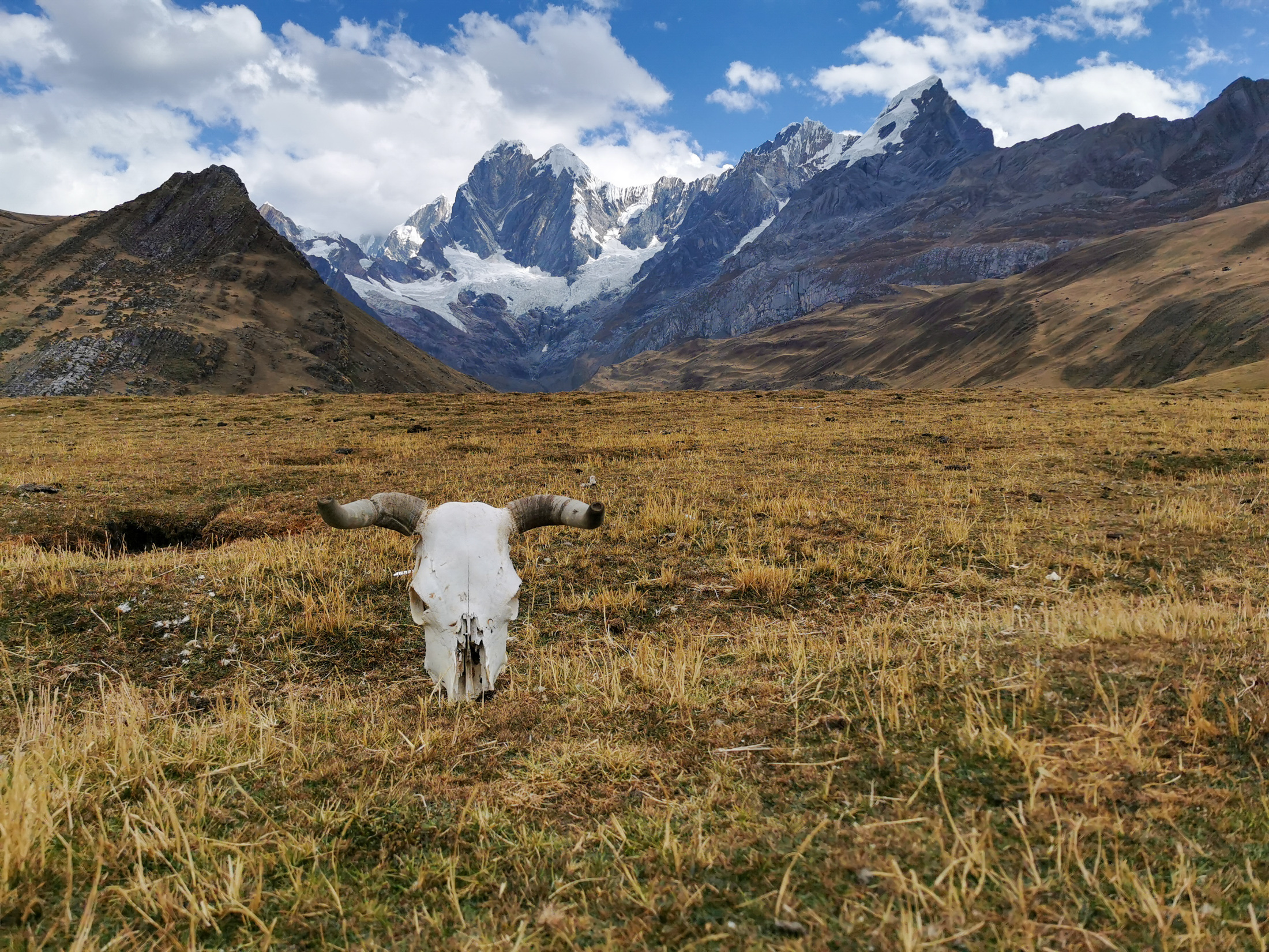
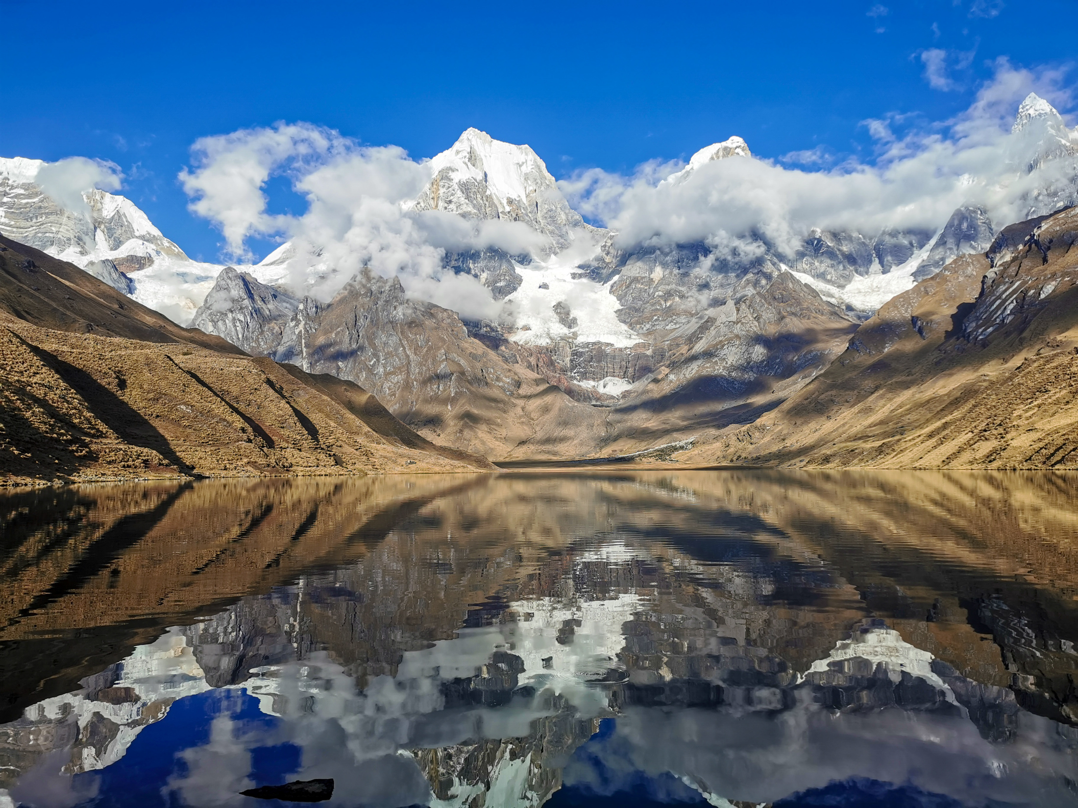
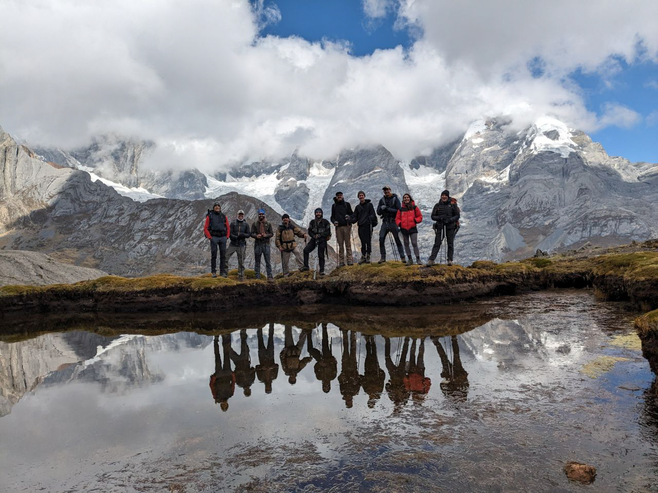
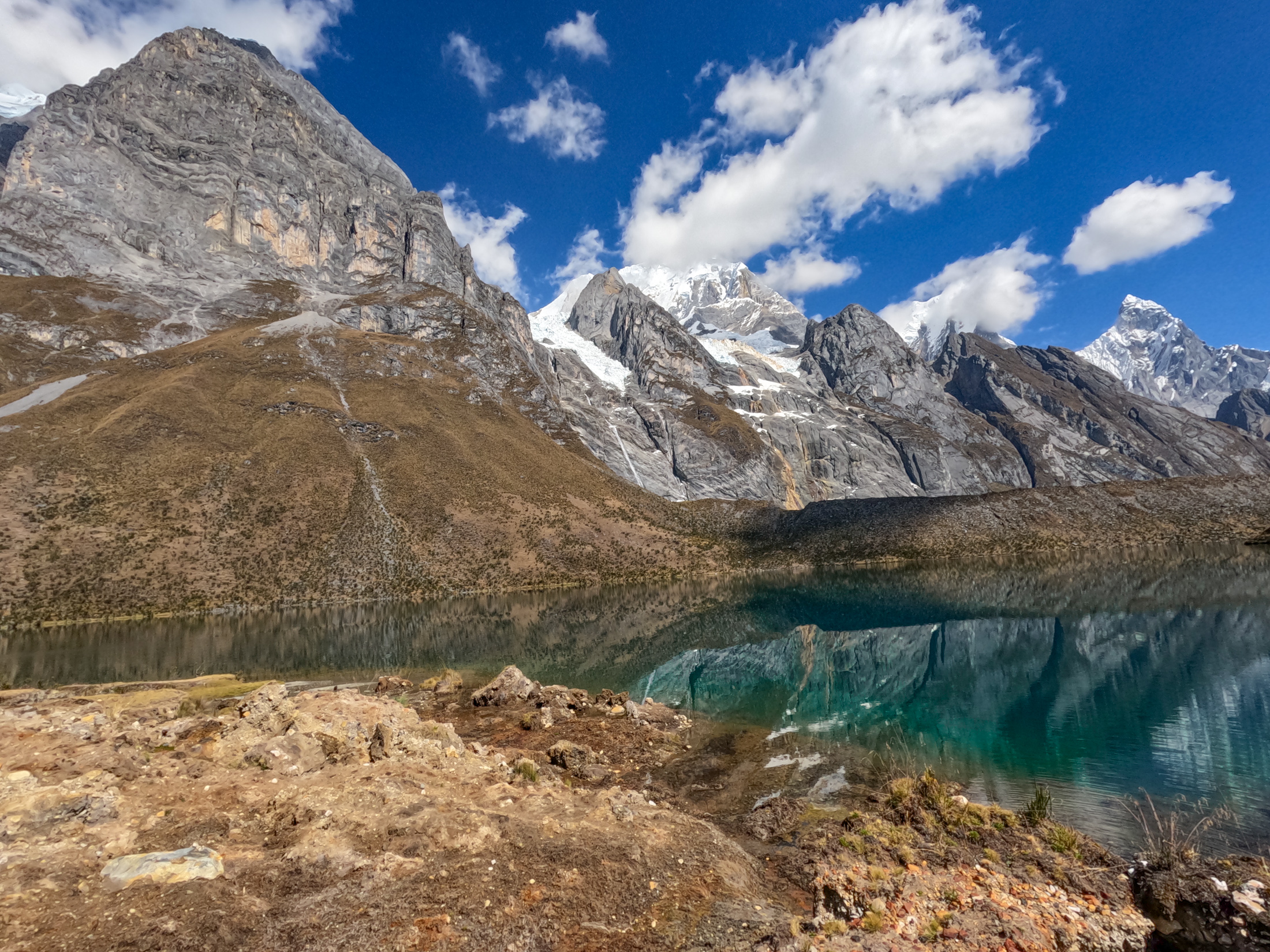
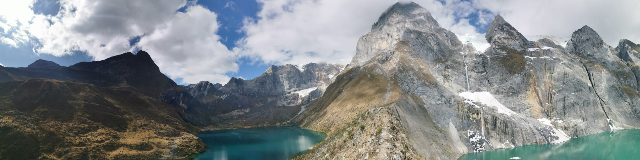
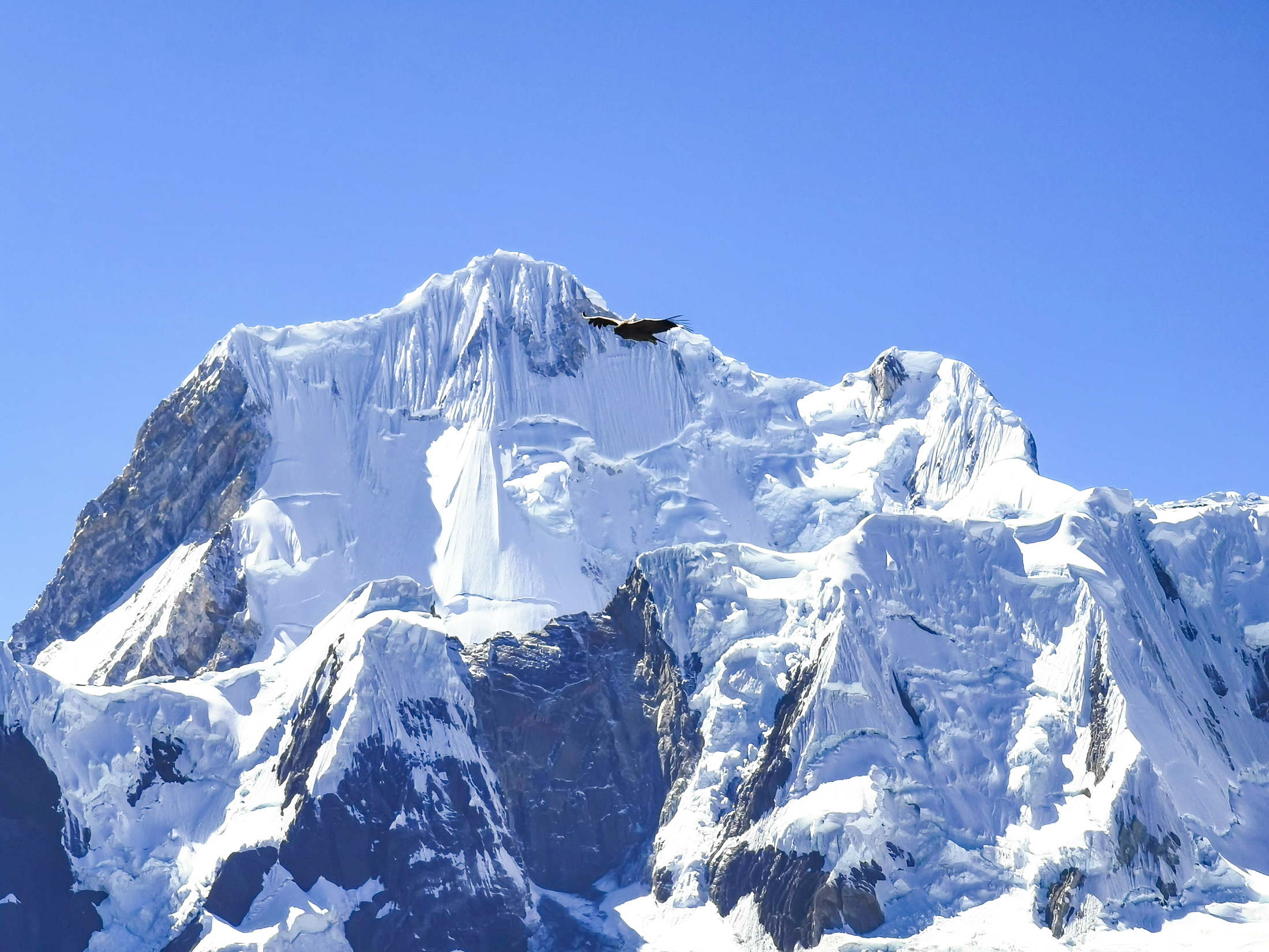
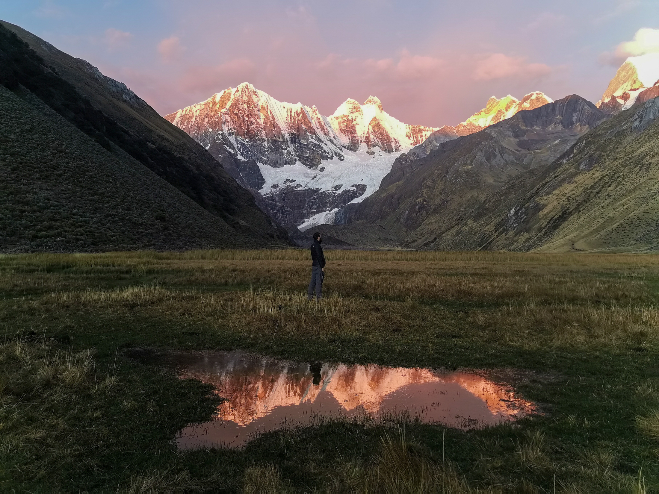
Crossing the pass revealed Laguna Carhuacocha, widely considered one of the most magnificent alpine lake settings on earth. Towering above the turquoise water are the massive ice flutes of Yerupajá at 6635 meters, Yerupajá Chico, and the jagged needle of Jirishanca.
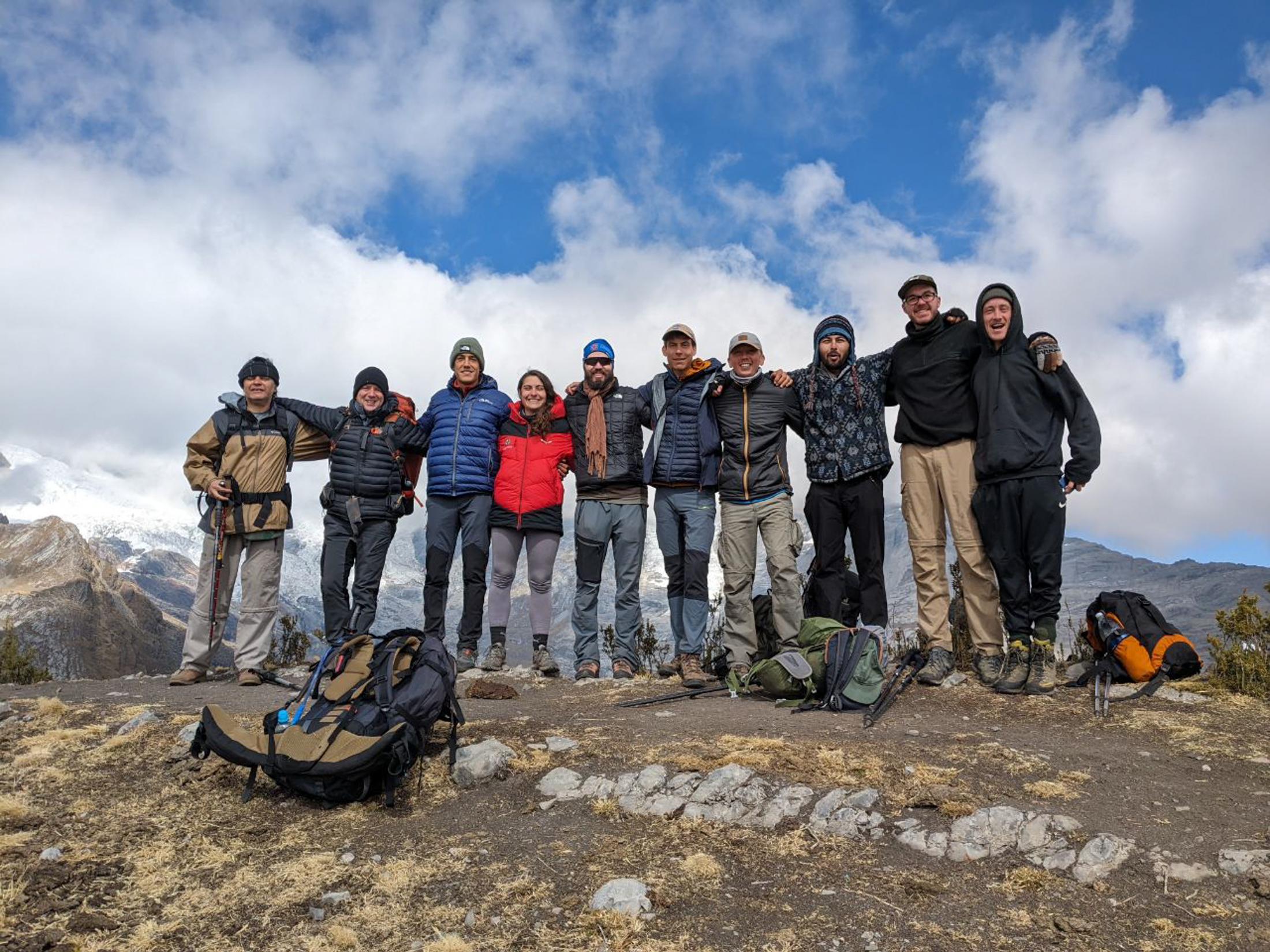
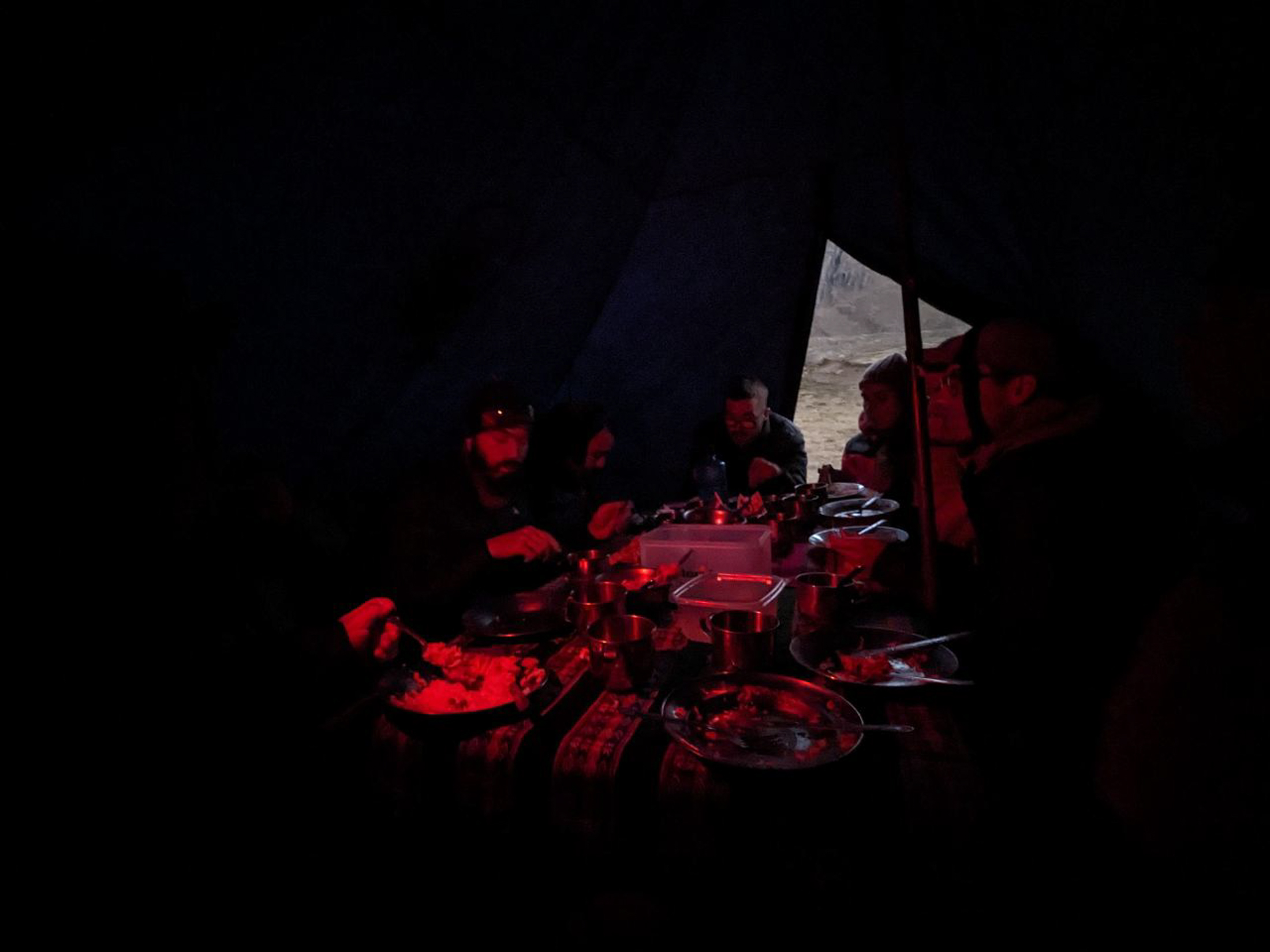
After five hours of hiking and covering 10.5 kilometers, we arrived at our second camp beside the lake. According to our guide, this was the easiest hiking day of the entire circuit. After settling in, we embarked on a short walk along the lakeshore to gain a closer perspective of the glacier reflections. As light rain began to fall in the late afternoon, we retreated to the cooking tent where conversation flowed as we eagerly awaited our warm evening meal.
DAY 3: LAGUNA CARHUACOCHA TO HUAYHUASH VIA SIULA PASS
Our third morning followed the established routine with breakfast and departure at 7:00 am, though I skipped the coca tea. As we set out from Carhuacocha, the sunrise illuminated the glacier faces in brilliant morning light.
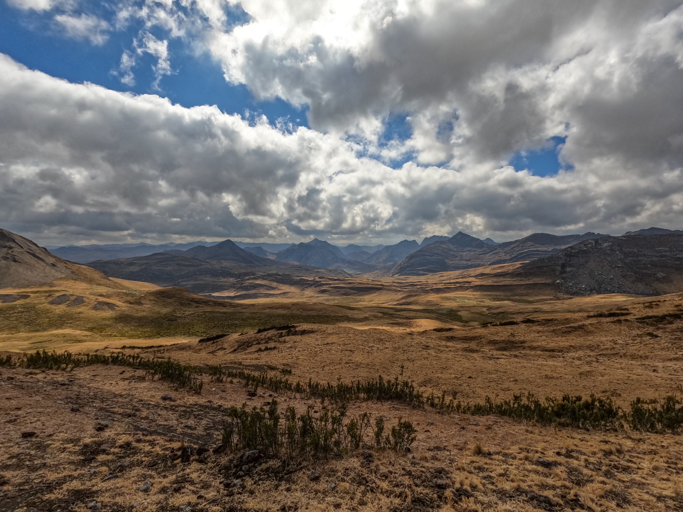
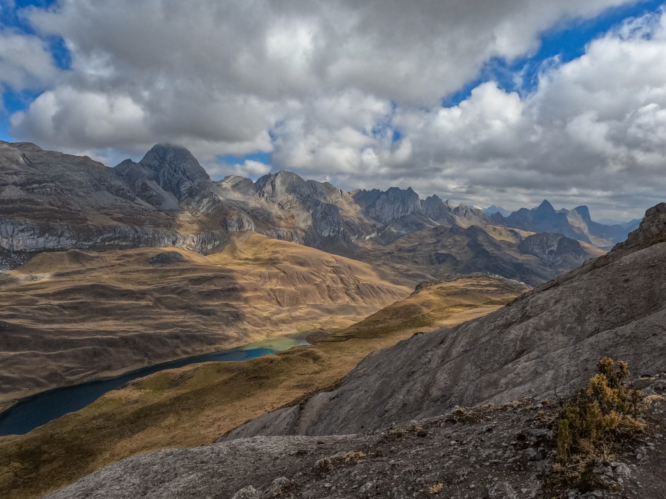
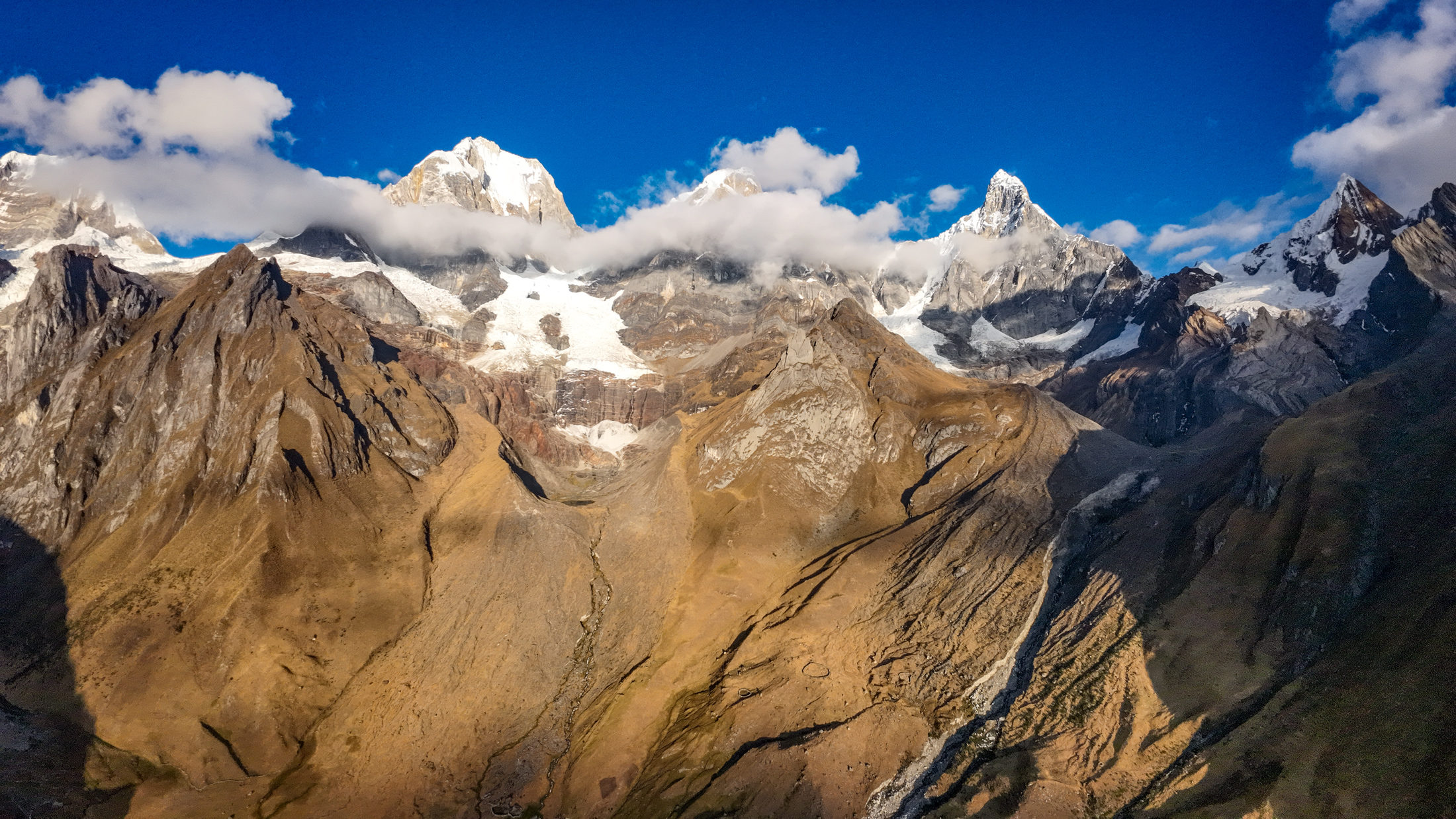
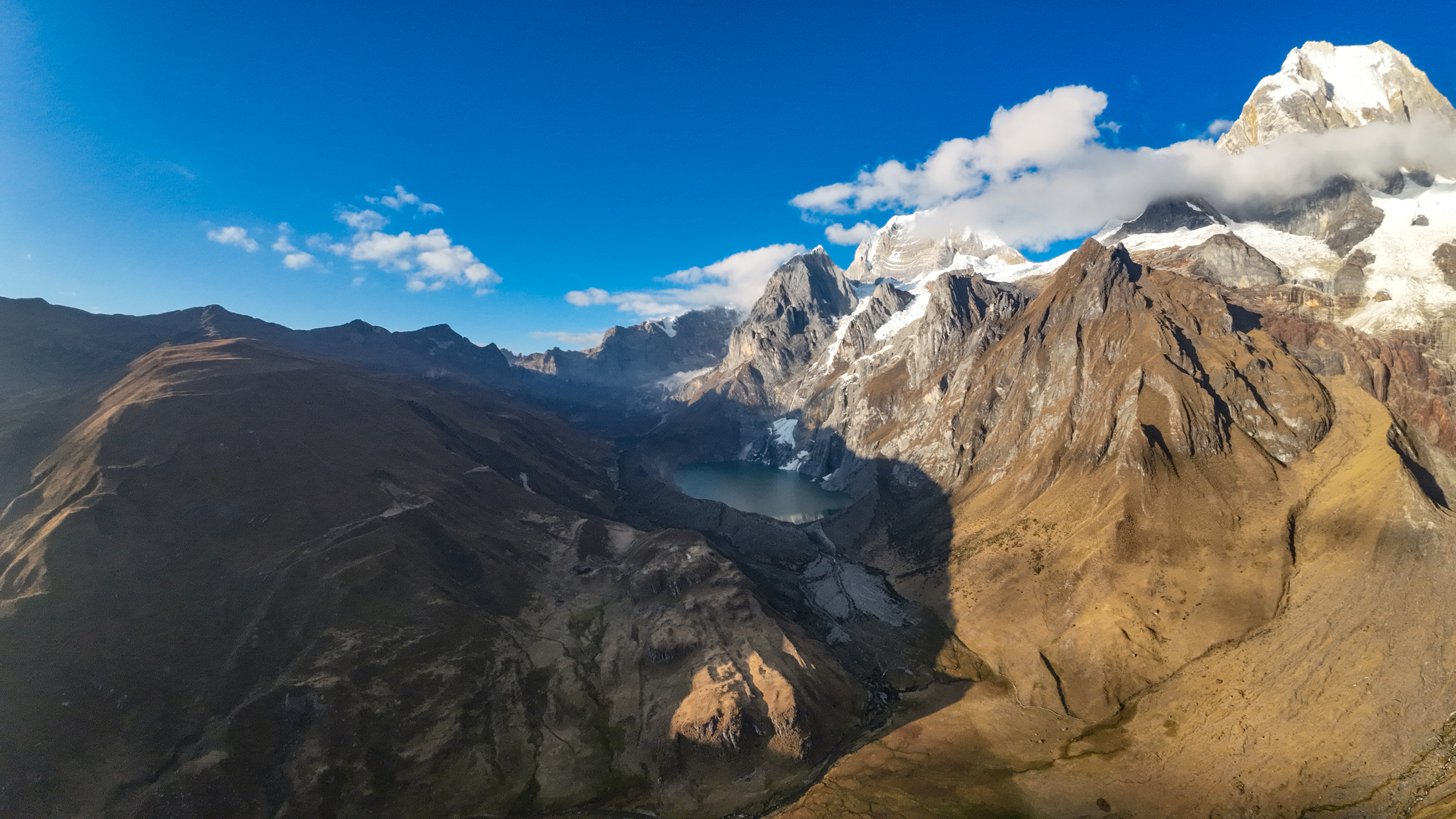
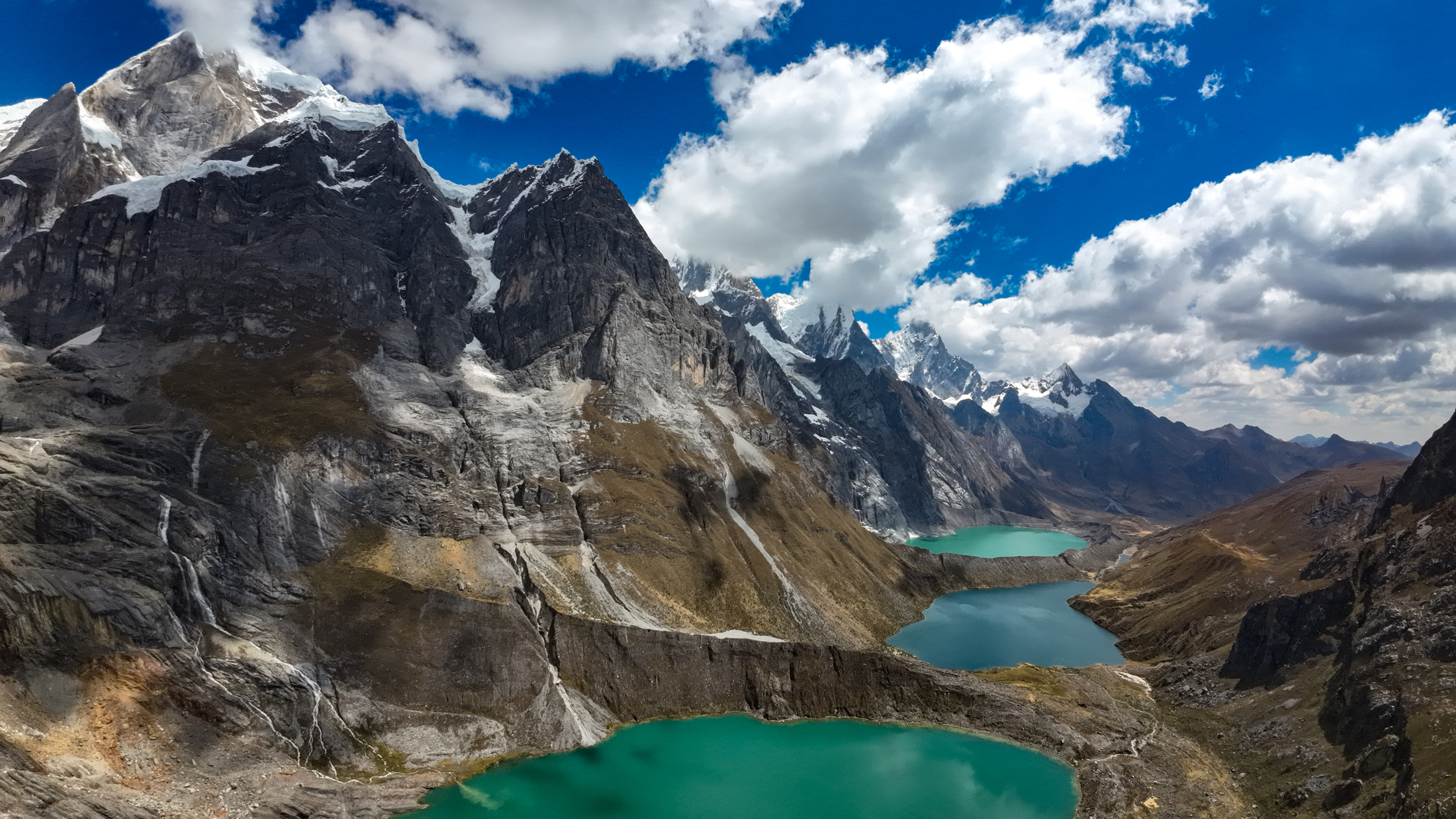
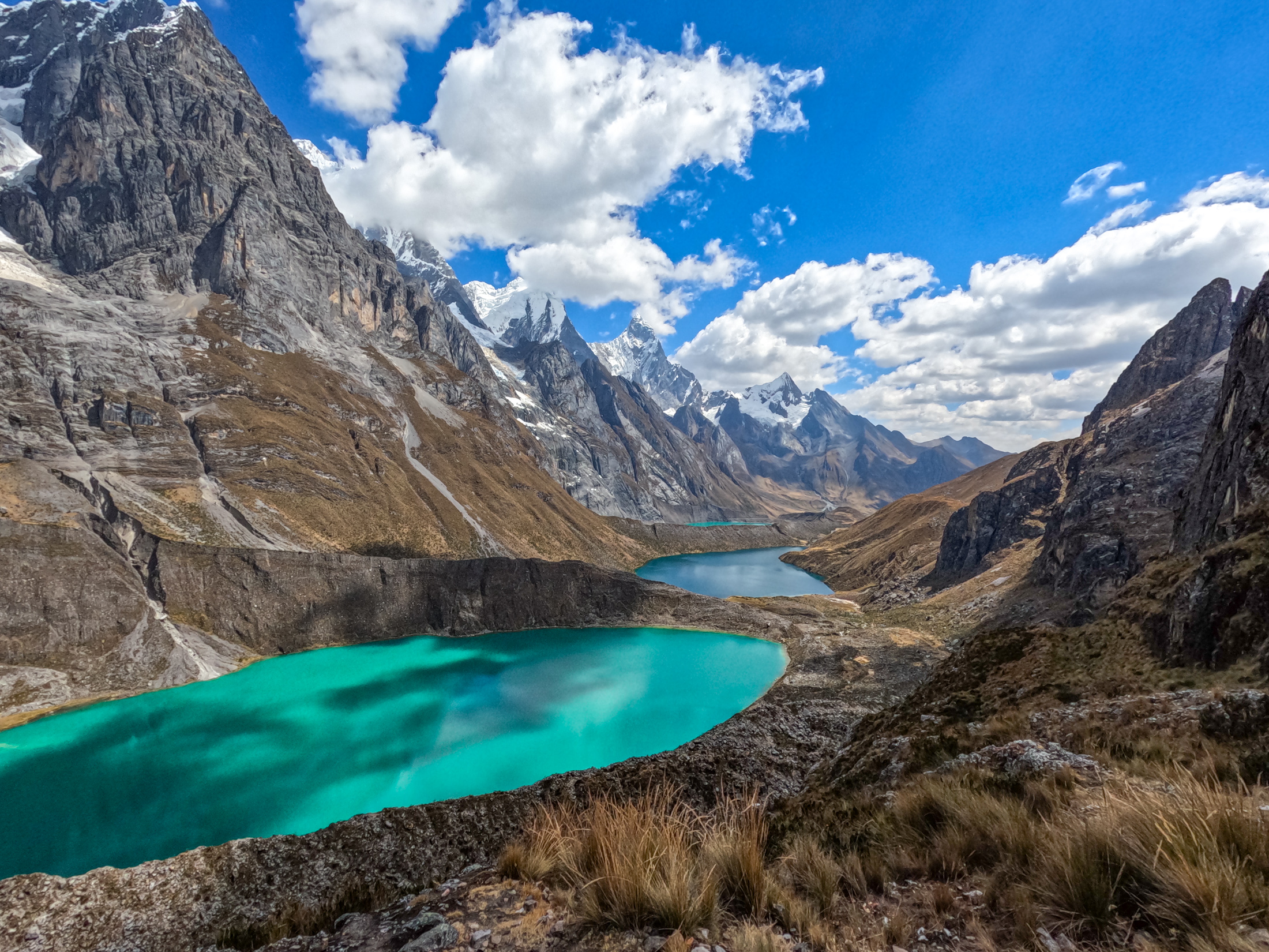
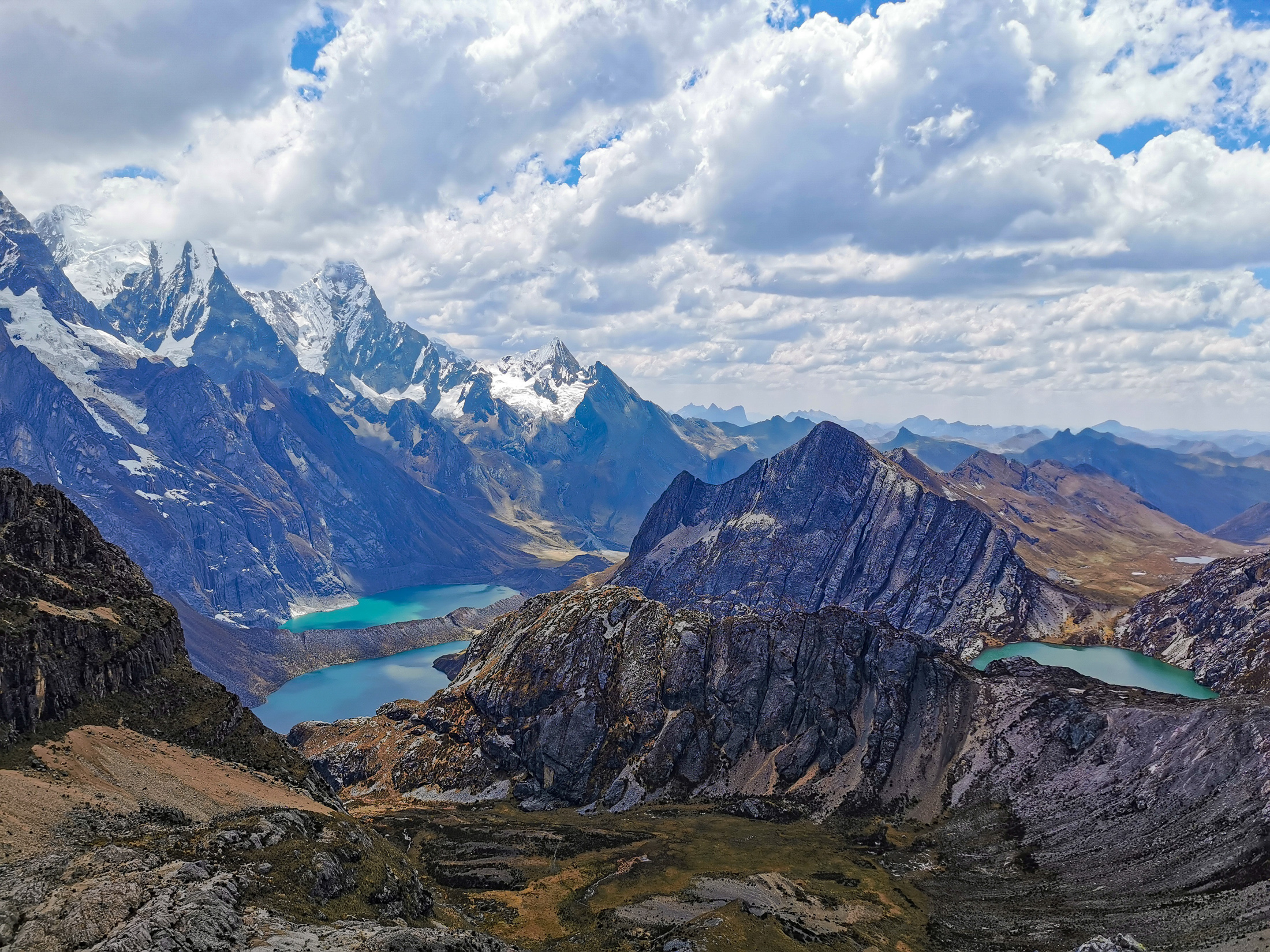
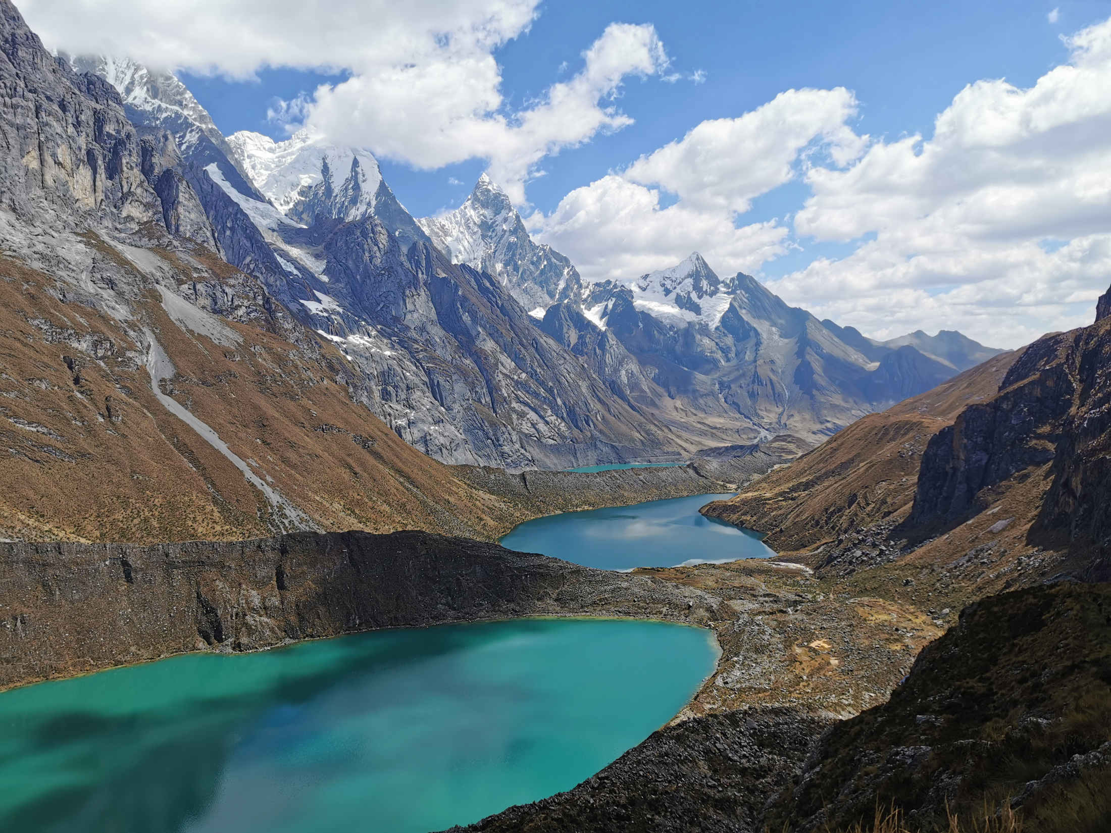
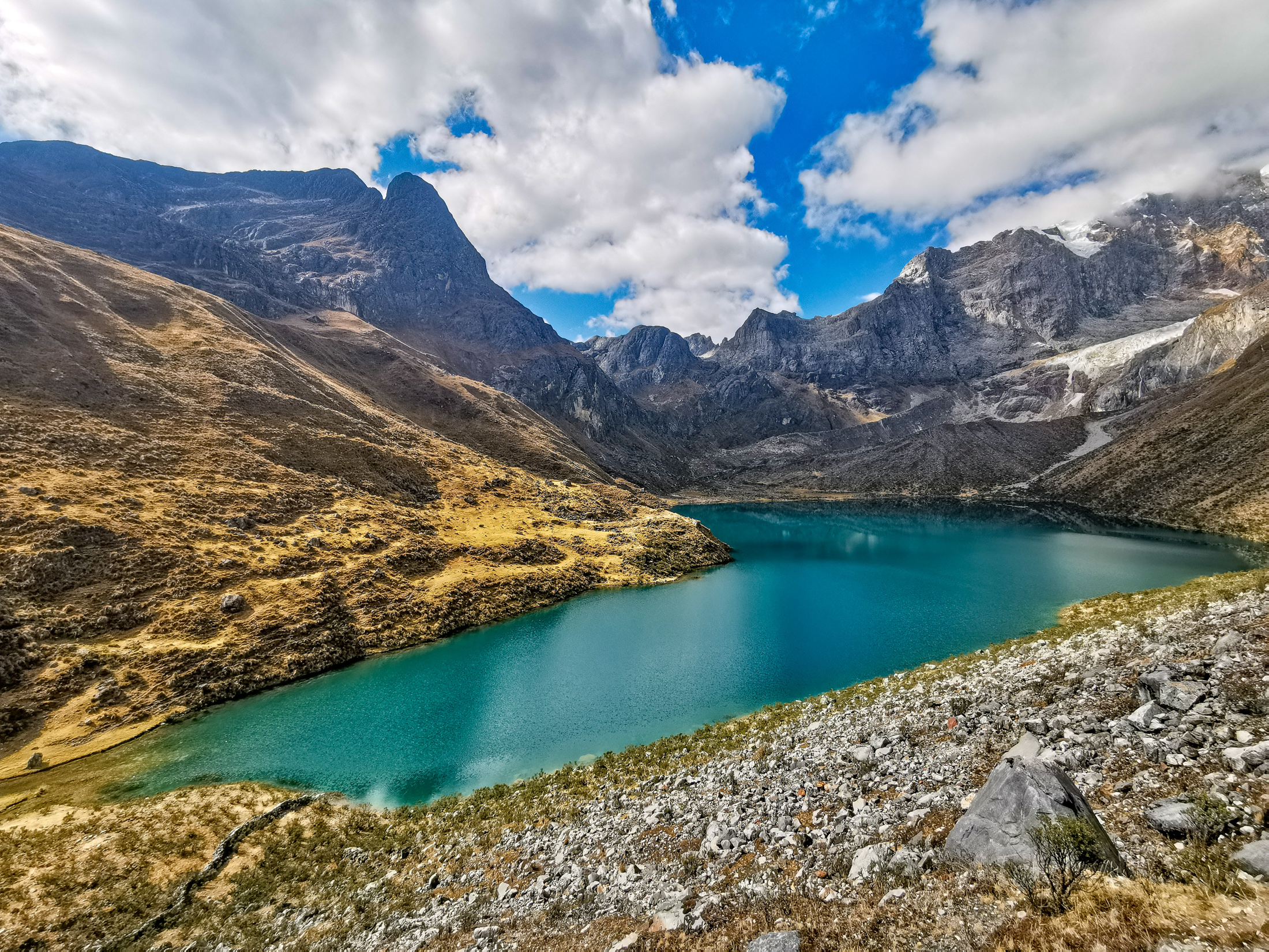
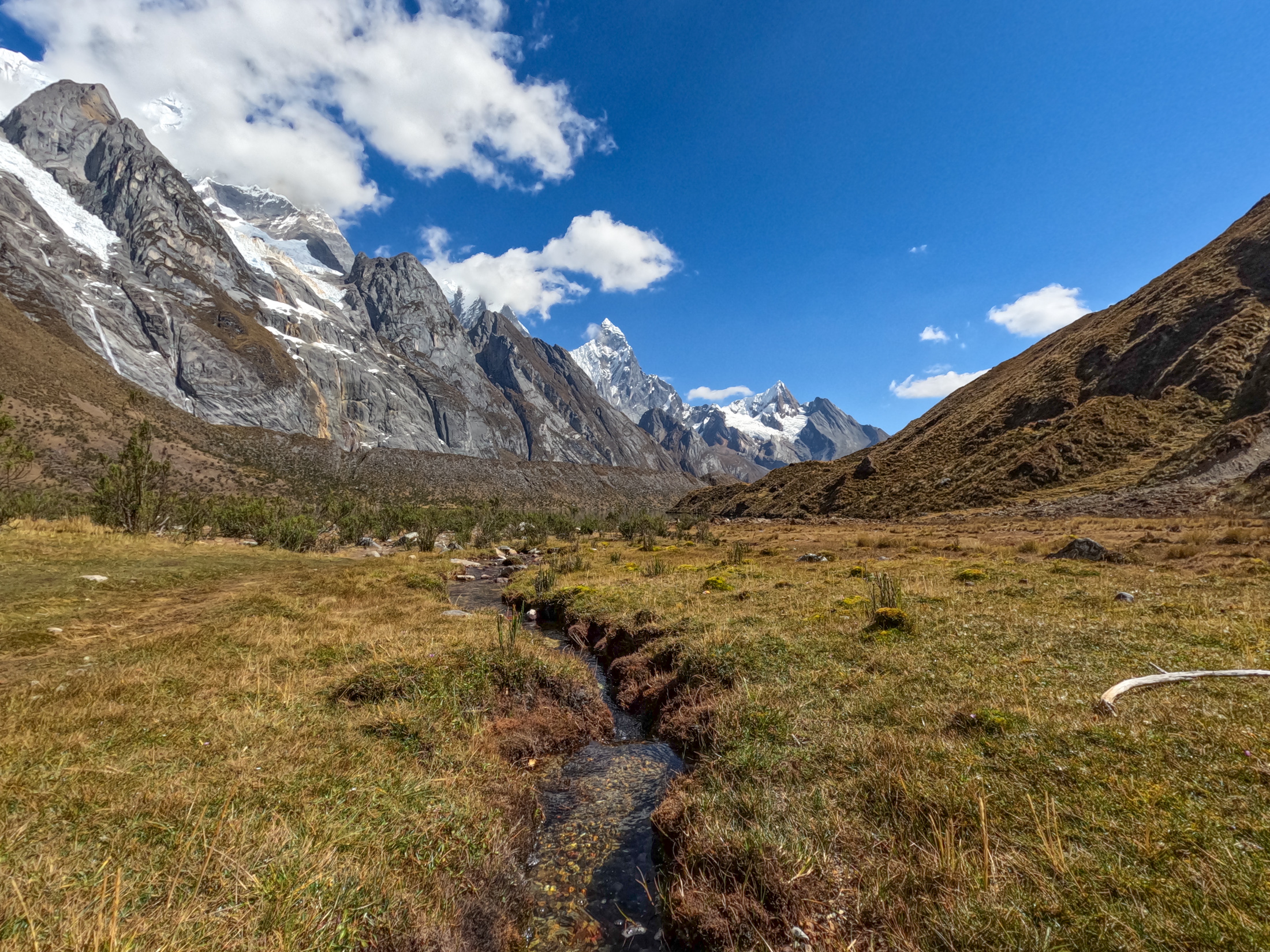
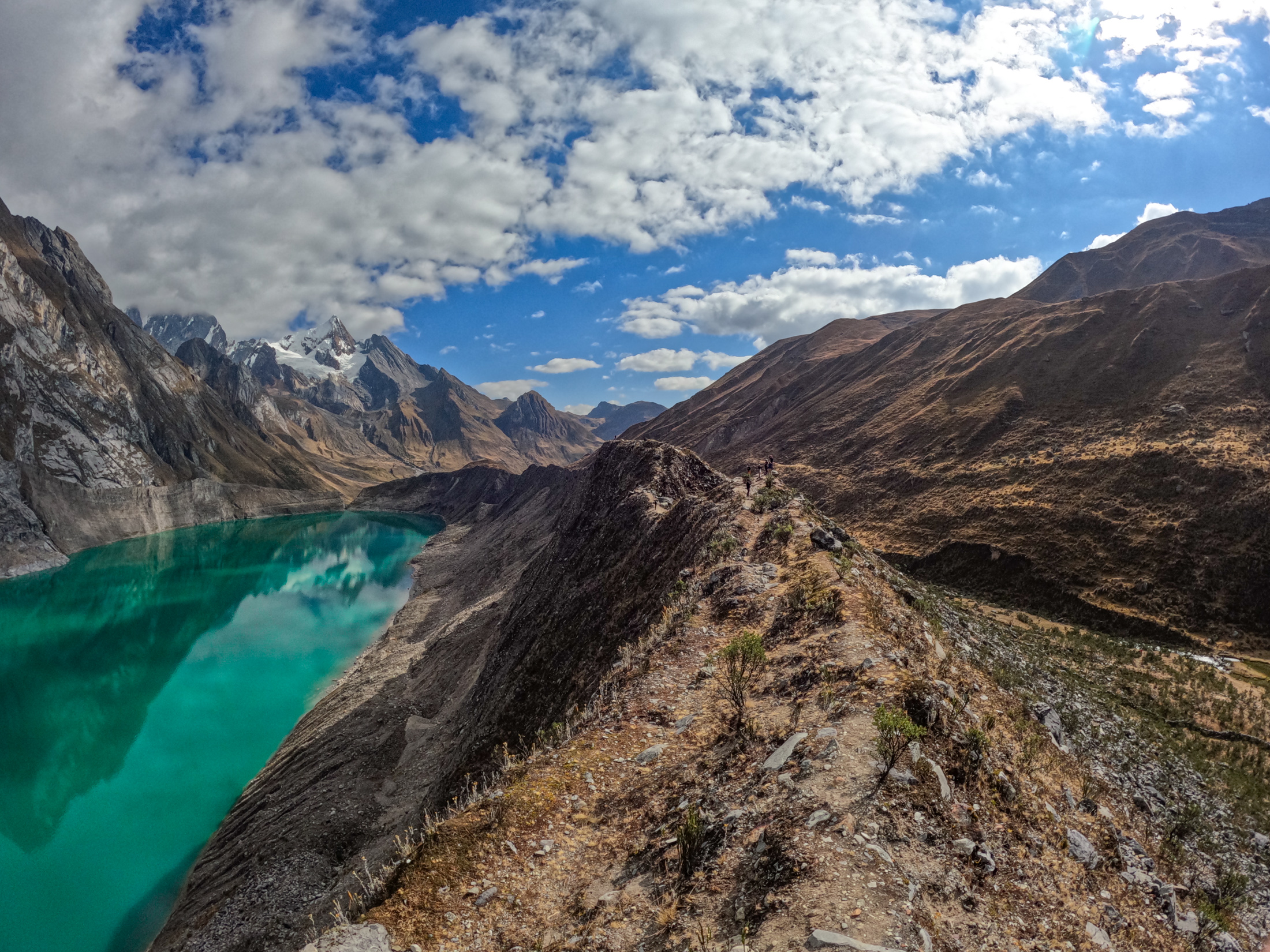
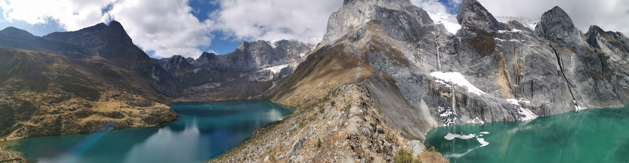
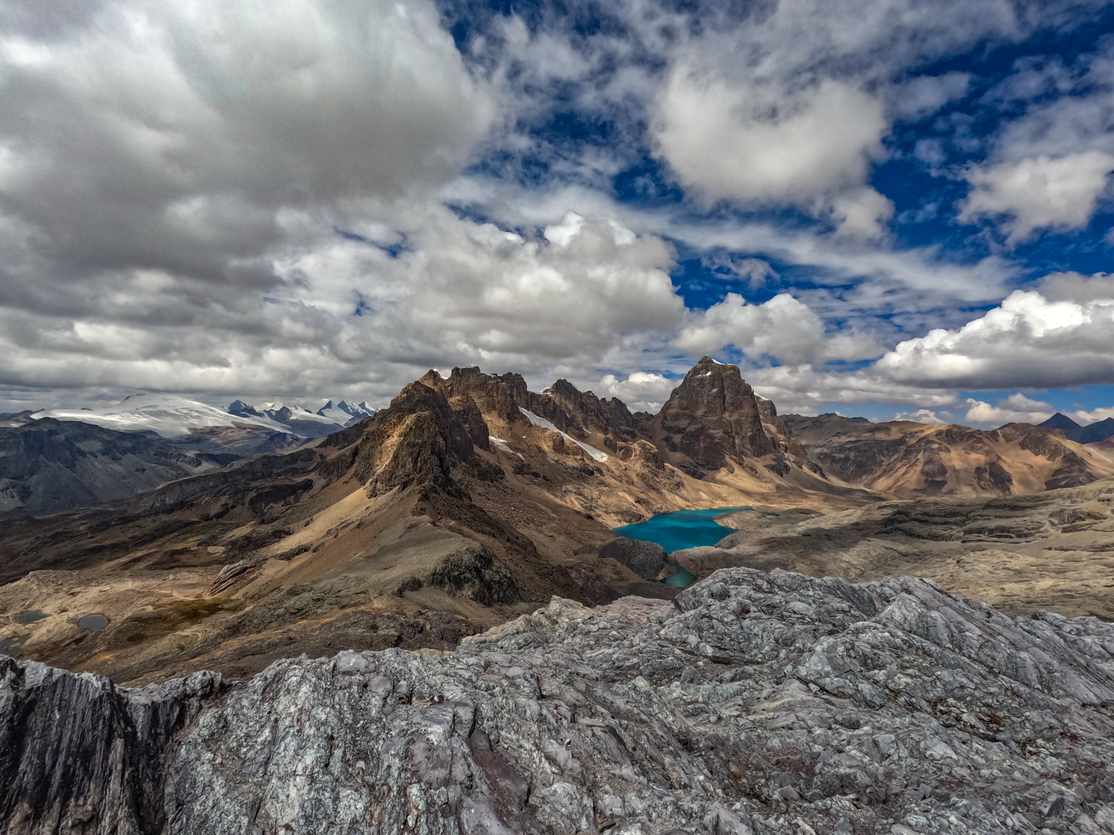
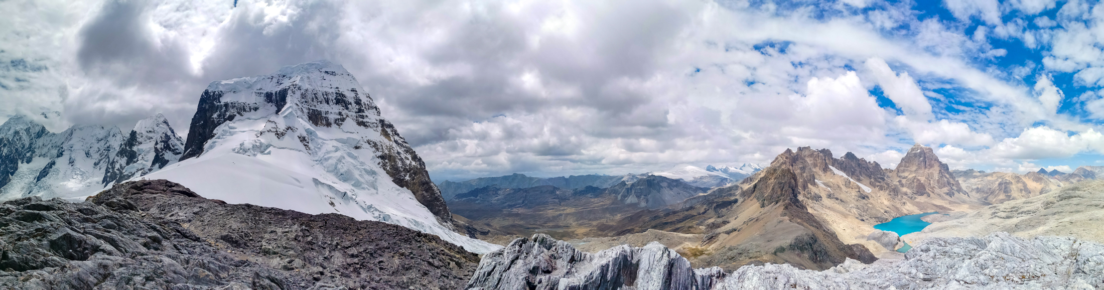
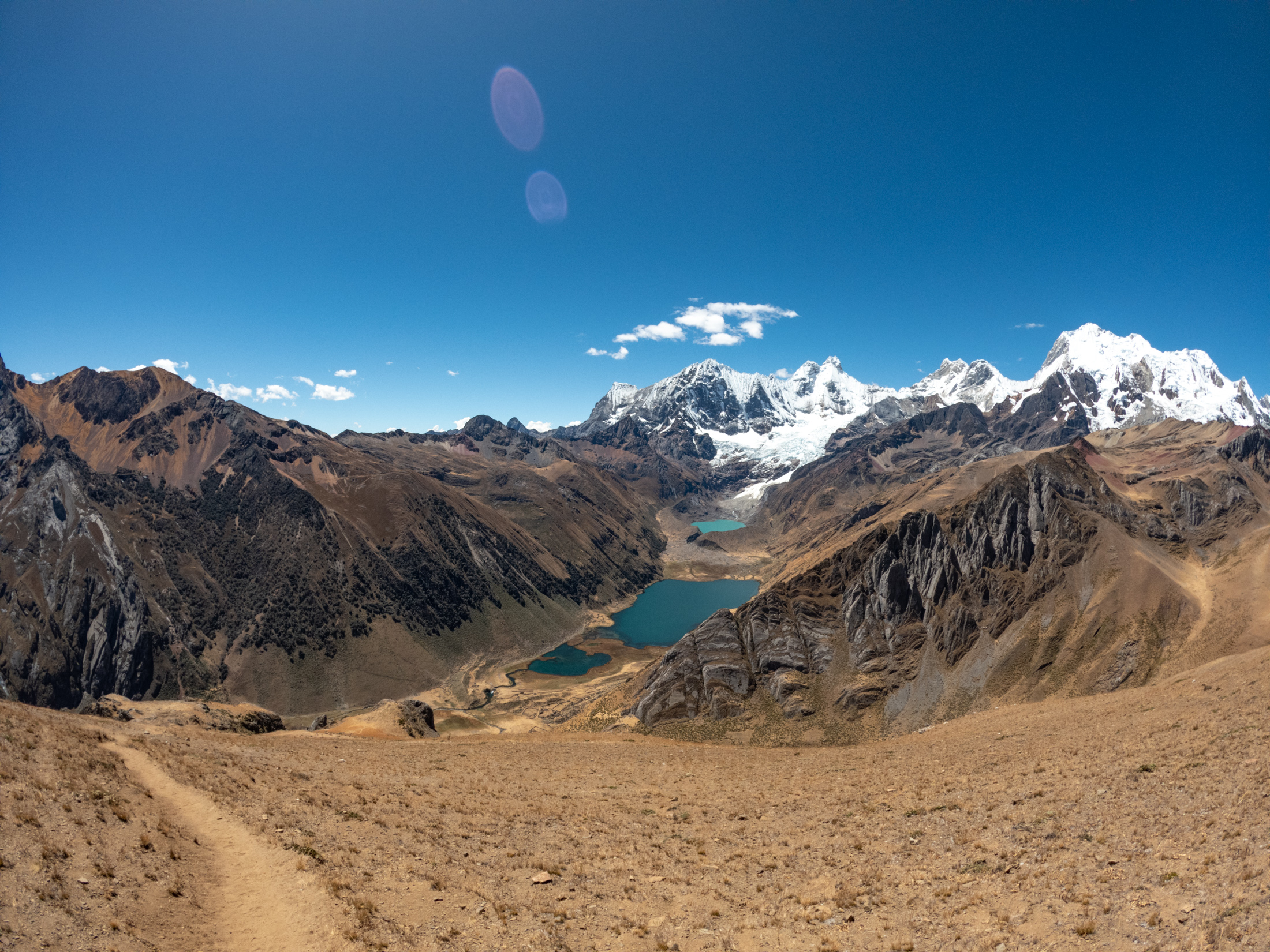
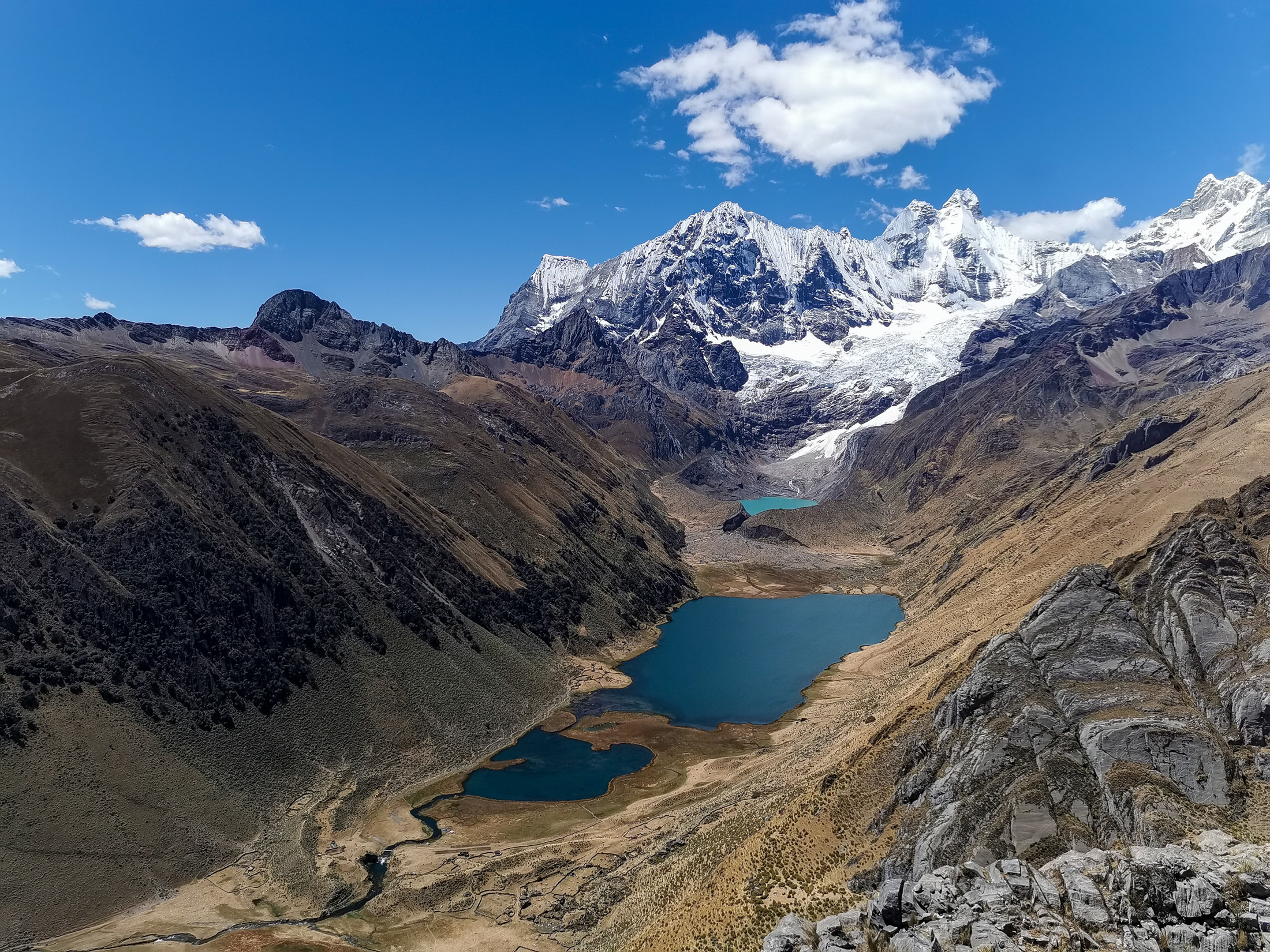
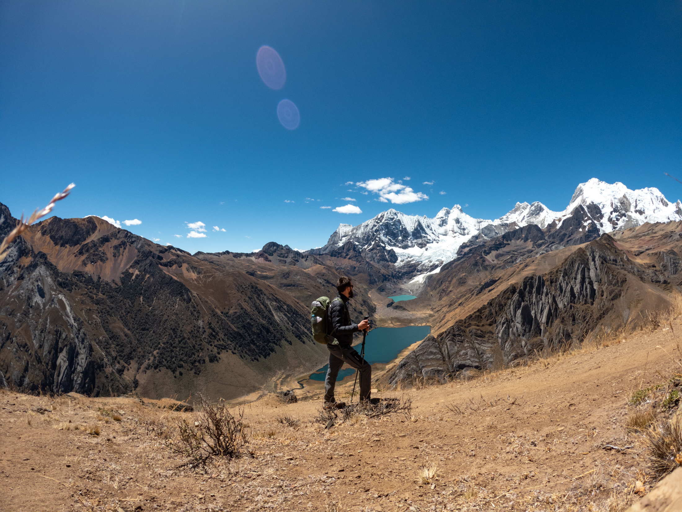
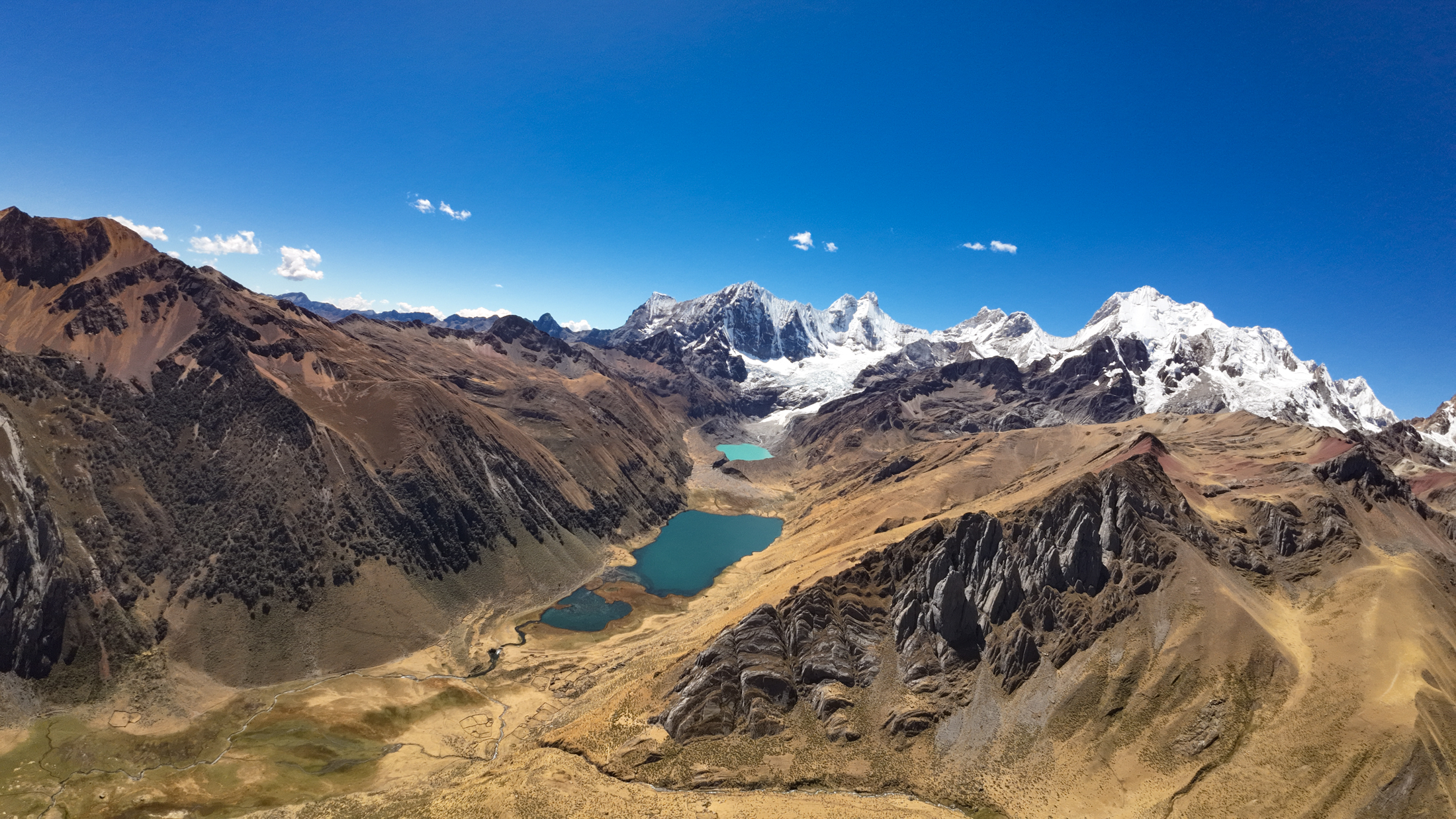
The day began gently, traversing alpine meadows before climbing along the famous viewpoint above three connected glacial lakes: Laguna Gangrajanca, Laguna Siula, and Laguna Quesillococha. Each lake displayed a distinct shade of vivid turquoise and deep blue fed by glacial runoff.
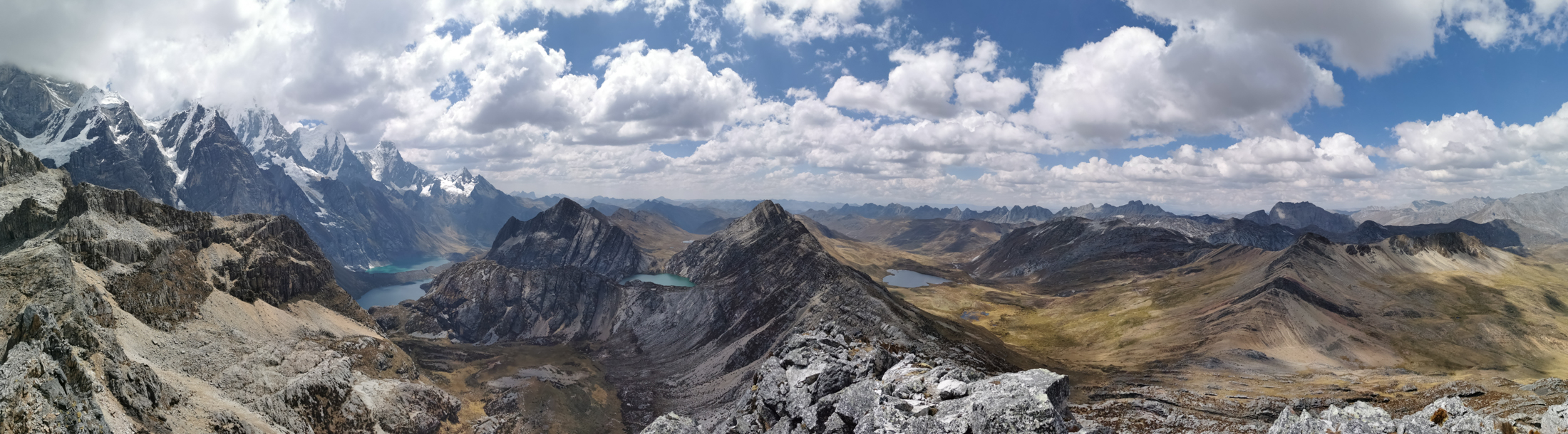
Continuing along the trail, we encountered steeper terrain leading into a demanding 40 minute push up loose rock switchbacks to Siula Pass at 4834 meters. Our guide set a steady pace. I arrived at the summit pass ahead of the group and lingered there for nearly an hour, relishing the immense panoramic view across the eastern glaciers and mountain peaks.
After a hot lunch prepared by our cook in a sheltered lower valley, we commenced a two hour descent, arriving at Huayhuash camp around 3:30 pm. In the camp, we rested and enjoyed hot tea. As darkness arrived, we stepped outside to marvel at a clear, star studded night sky before retreating to our sleeping bags.
DAY 4: HUAYHUASH TO VICONGA AND AFTERNOON SNOWFALL
On the fourth day of our adventure, the morning air felt distinctly cooler. We set off around 7:30 am, slightly behind our usual departure schedule. The hike kicked off with two hours of steady climbing, moving faster as our acclimatization improved.
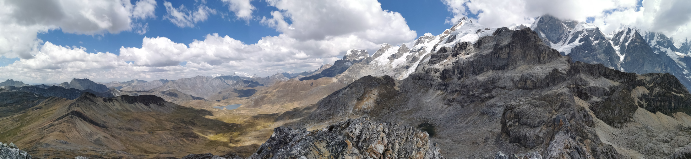
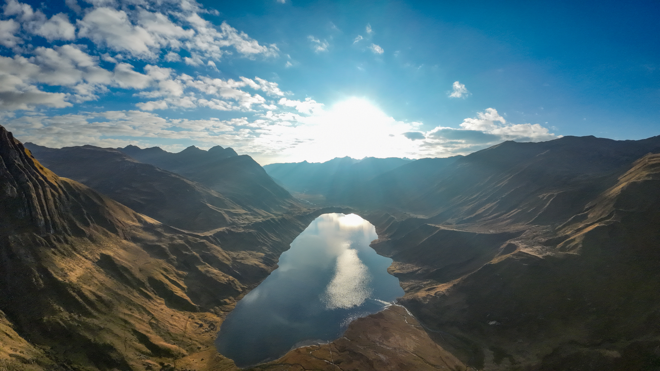
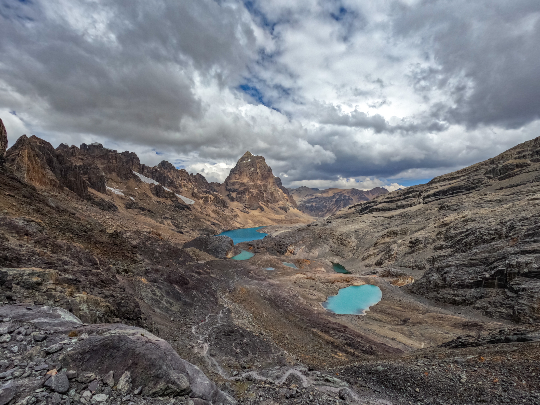
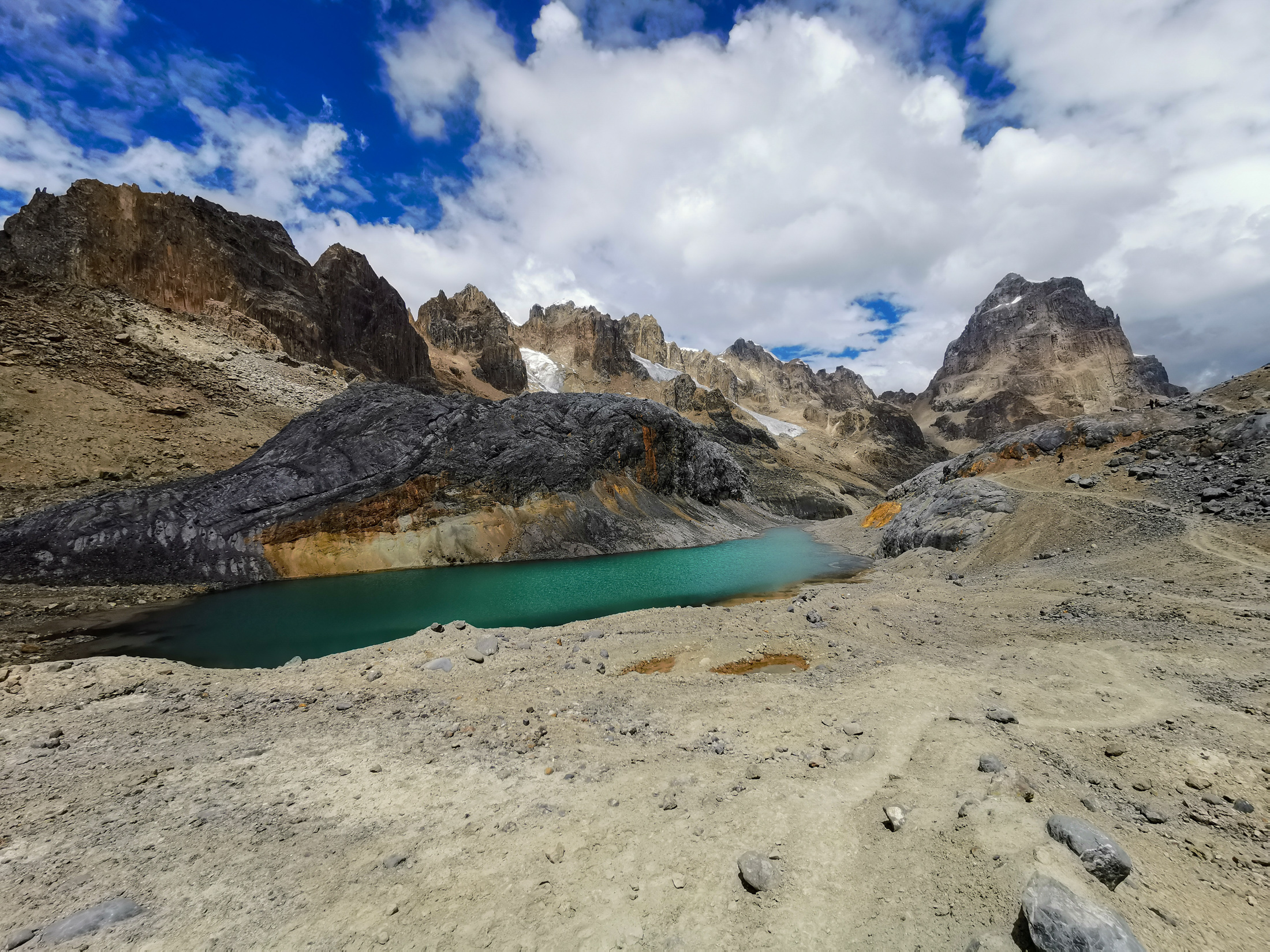
As an added bonus, our guide proposed an extra ascent up a nearby ridge that nearly all of us eagerly accepted. This challenging climb brought us to an impressive vantage point overlooking the southern reaches of the range and the rugged peaks of Cordillera Raura.
A long descent followed, leading down to our cook where we enjoyed a hot lunch in the field. With renewed energy from our meal, we had just one hour of trekking left, mainly downhill across stony pastures.
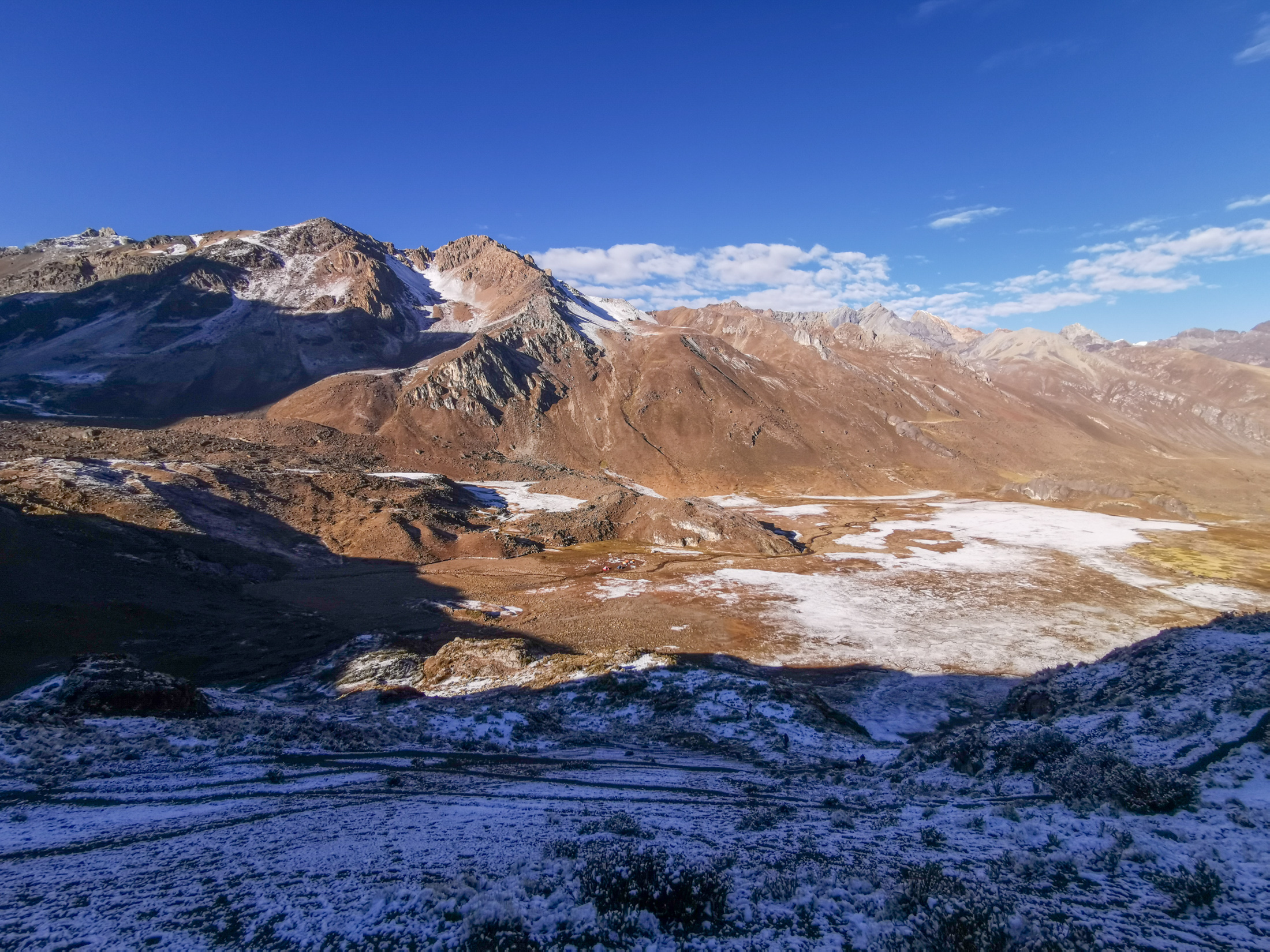
After covering approximately 15 kilometers, we arrived at our campsite near Viconga and pitched our tents. Around 4:00 pm, snowfall began unexpectedly, coating the alpine turf and our tents in a quiet layer of white. We whiled away the cold afternoon in the mess tent until dinner was served promptly, providing warmth against the falling snow.

DAY 5: VICONGA ACROSS PUNTA CUYOC TO HUAYLLAPA VILLAGE
The fifth morning greeted us with the aftermath of a snowy night. The landscape was transformed into a serene alpine scene, with fresh snow clinging to every rock and ridge. The cold urged us to depart swiftly to catch the morning sun.
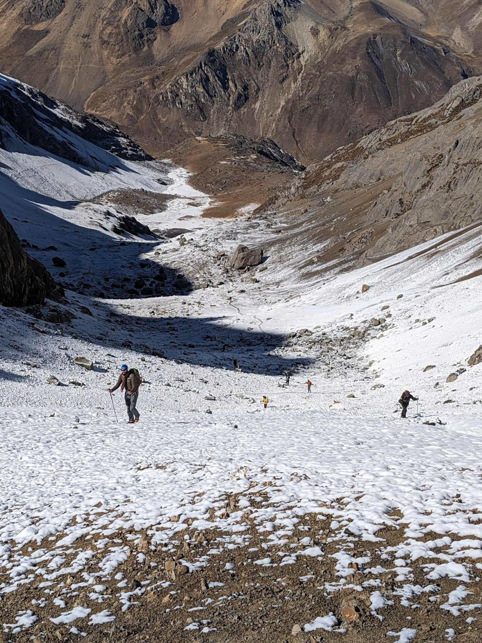
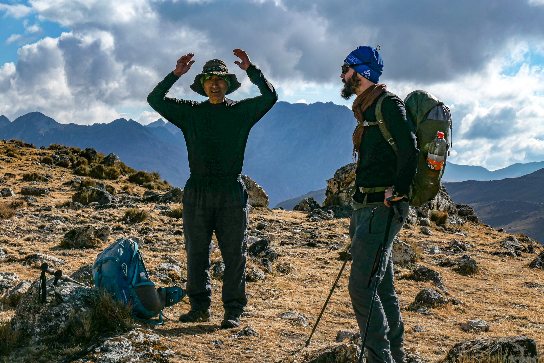
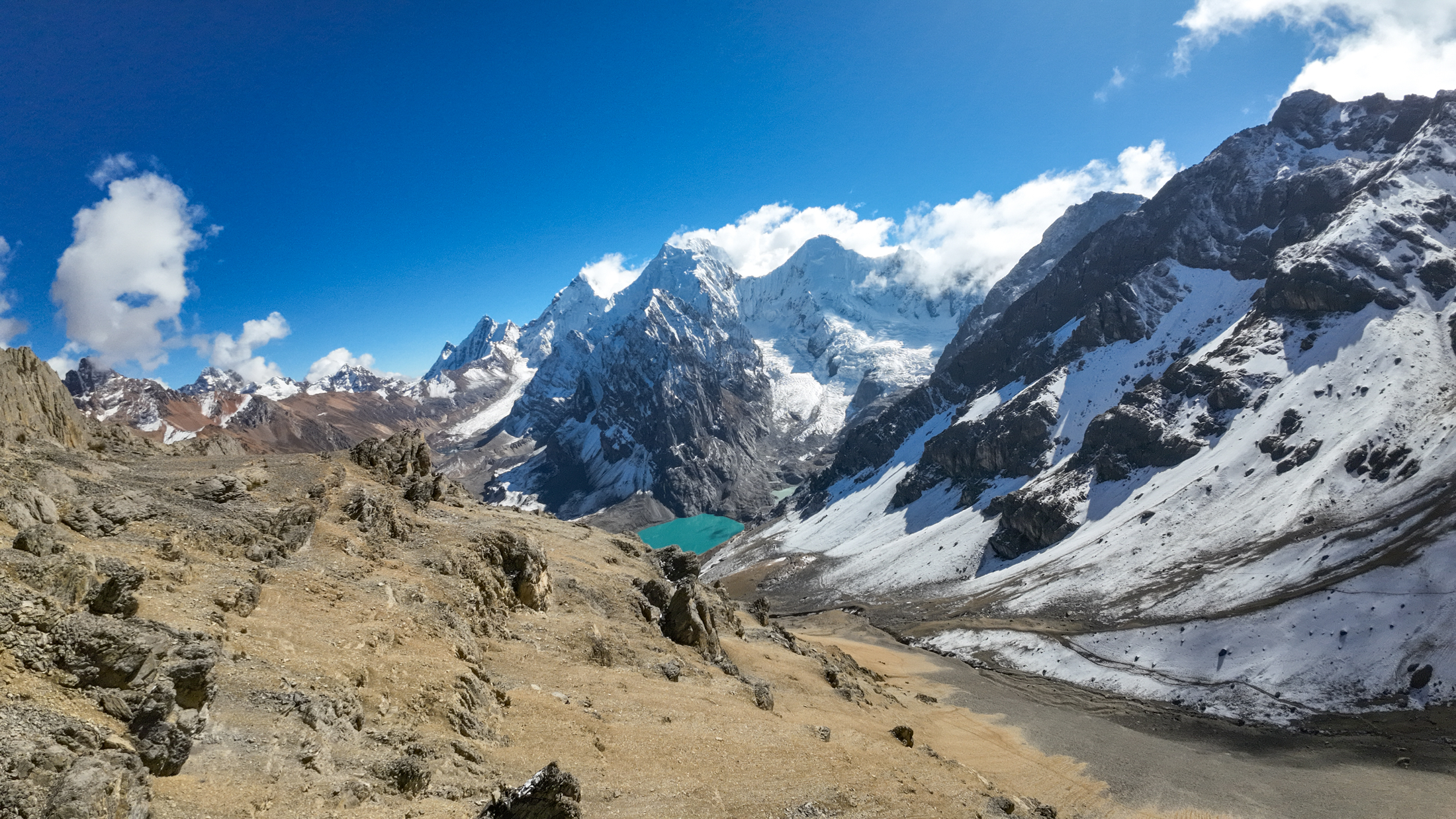
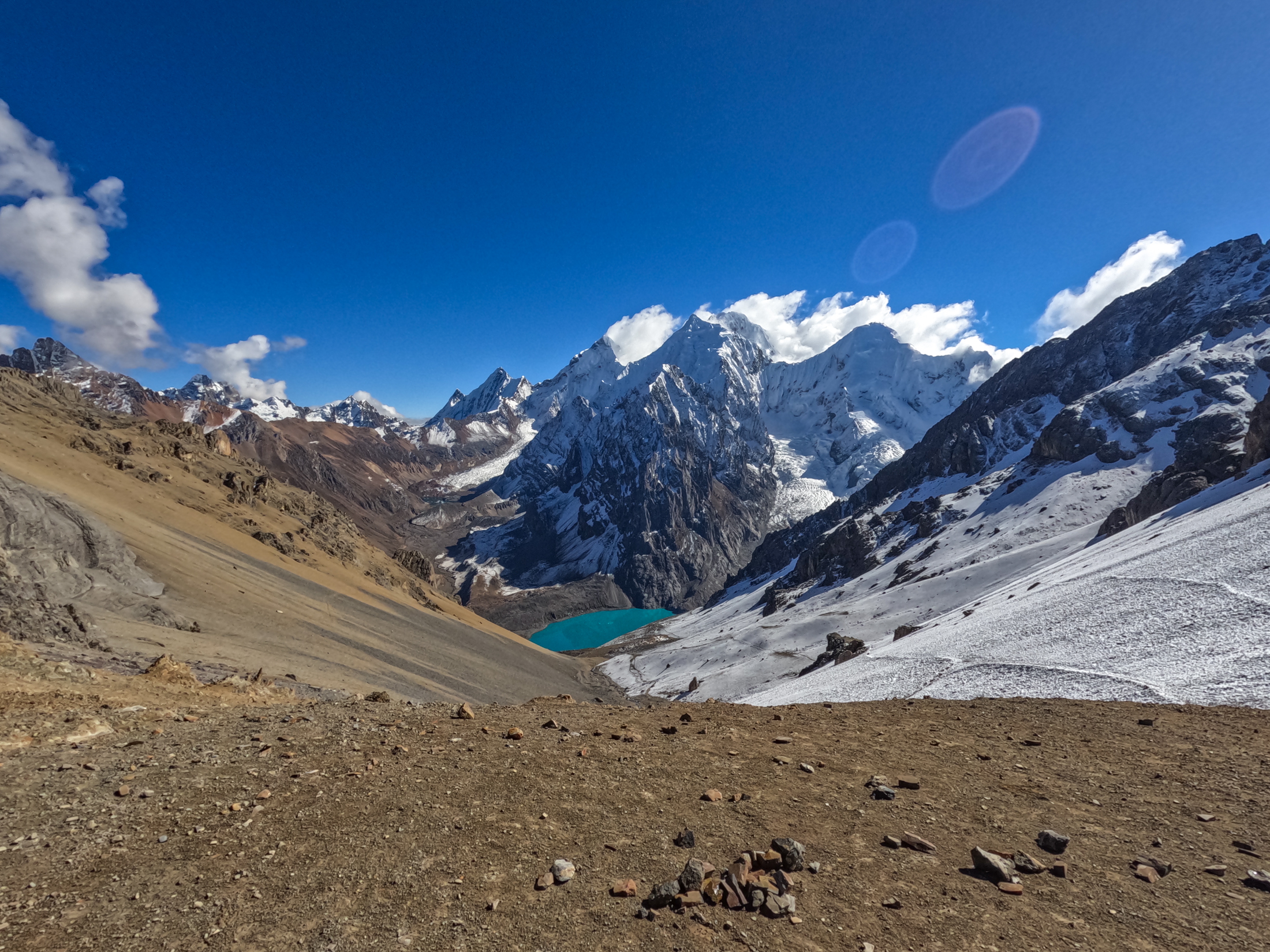
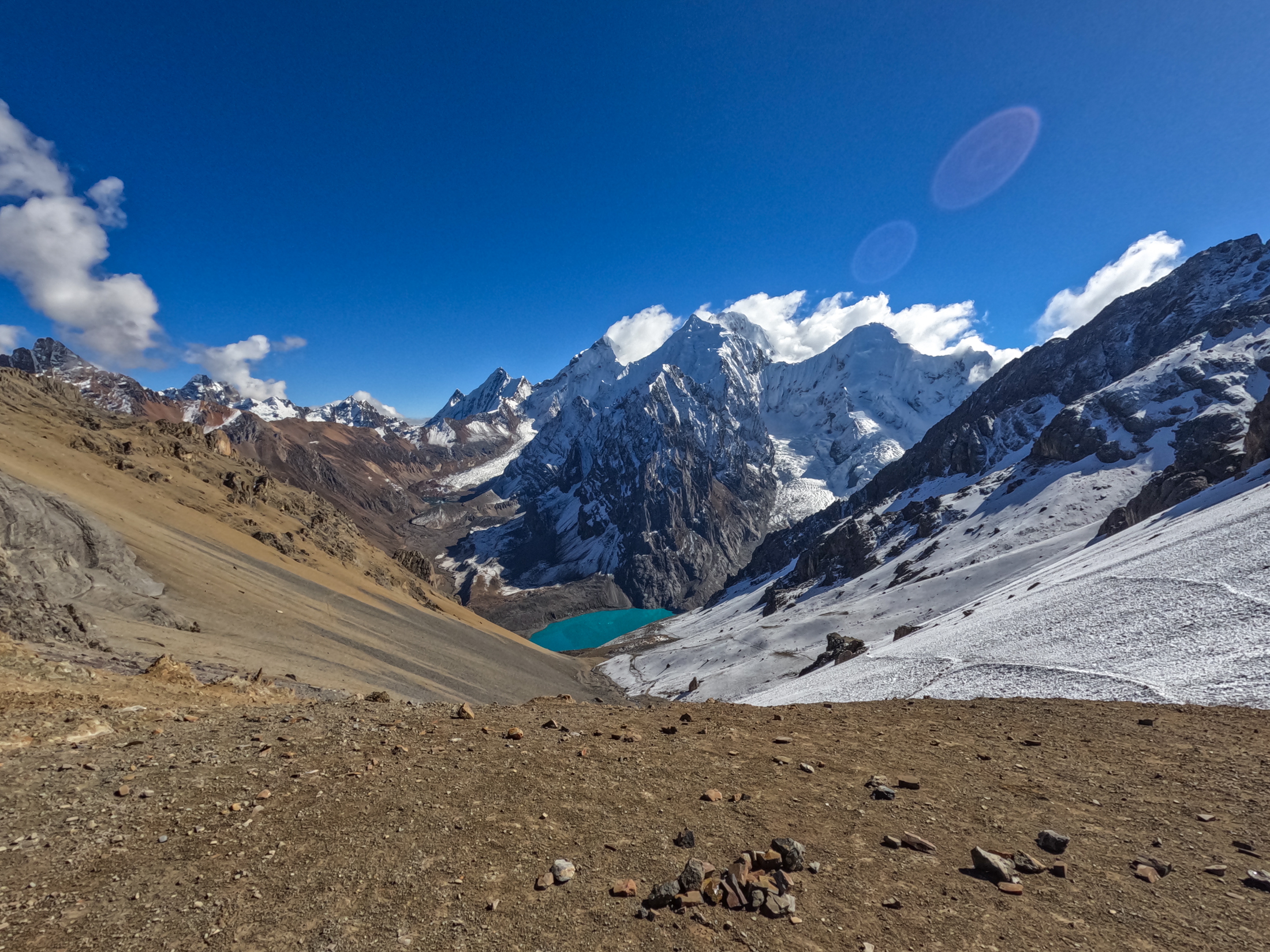
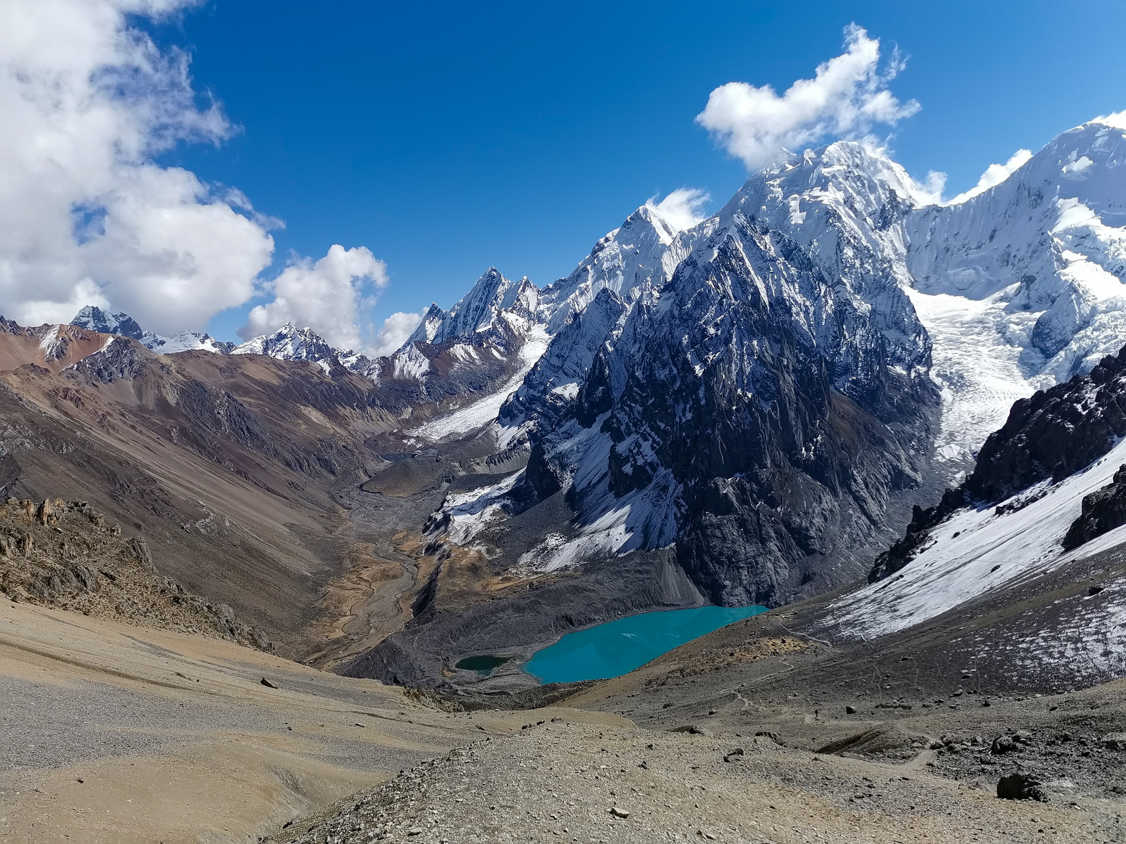
Our ascent commenced up toward Punta Cuyoc at 5000 meters. The climb was gradual, lasting just under two hours as we kicked steps through fresh snow. Arriving at the summit pass, we were treated to a spectacular panorama across dramatic granite walls and snow clad peaks. We lingered at the pass for about 45 minutes capturing photographs.
The descent proved challenging on a steep and dusty path down the Huanacpatay valley. We reached the remote mountain village of Huayllapa around 1:00 pm after covering 8 kilometers of descent.
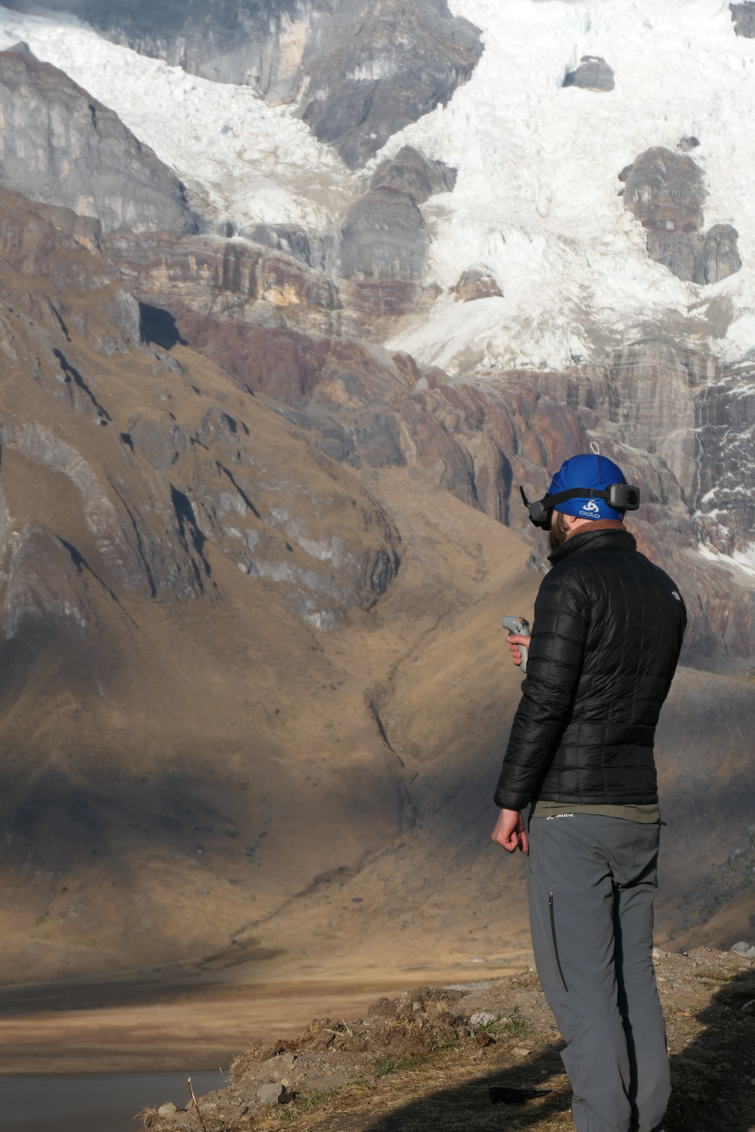
Since we camped adjacent to a village on this night, I decided to take a room in a local village hostel. This provided the opportunity to enjoy a hot shower, recharge my drone batteries, and back up all my photos and video footage onto hard drives after days off the grid.

DAY 6: HUAYLLAPA TO LAGUNA JAHUACOCHA VIA 1200M ASCENT
On the sixth morning, the group was noticeably quieter as we prepared for the most demanding physical climb of the trek. Departing at 7:30 am, we embarked on a relentless 1200 meter vertical ascent starting directly from the valley floor.
The trail climbed steadily up the mountainside for 8 kilometers. Upon reaching the high pass, I waited for more than an hour to ensure that every member of the group arrived safely over the crest.
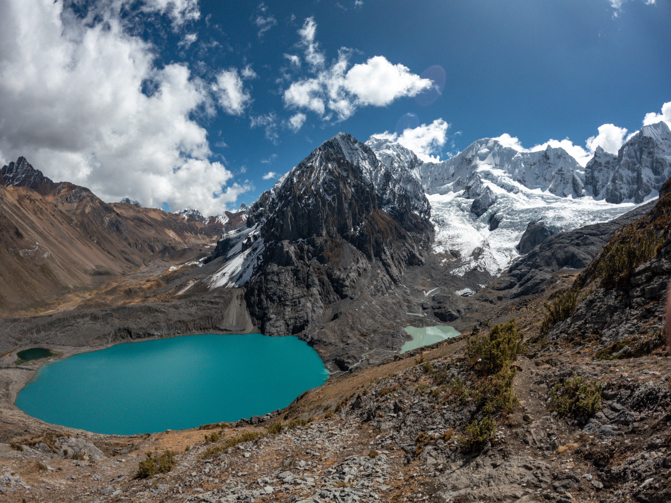
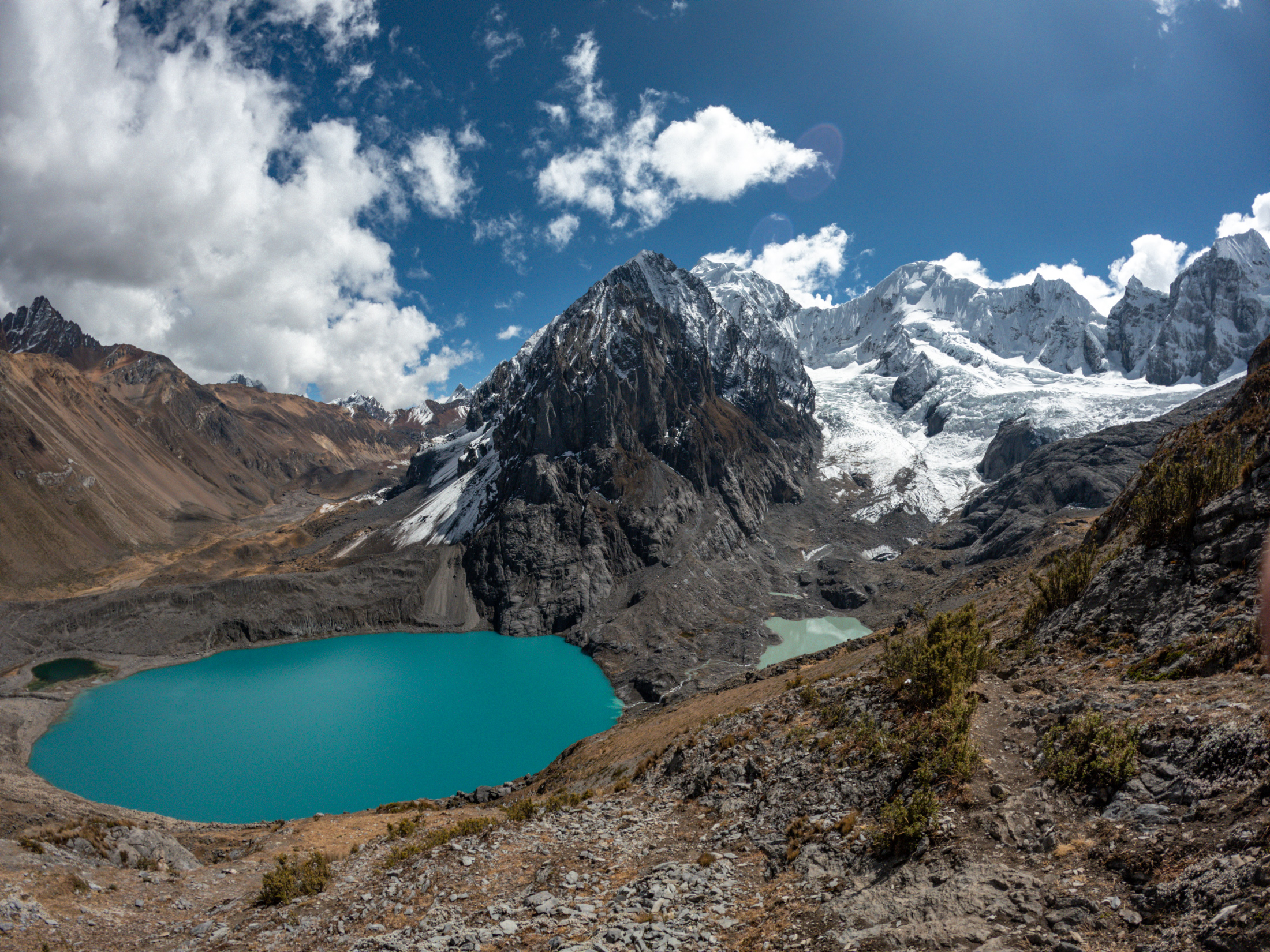
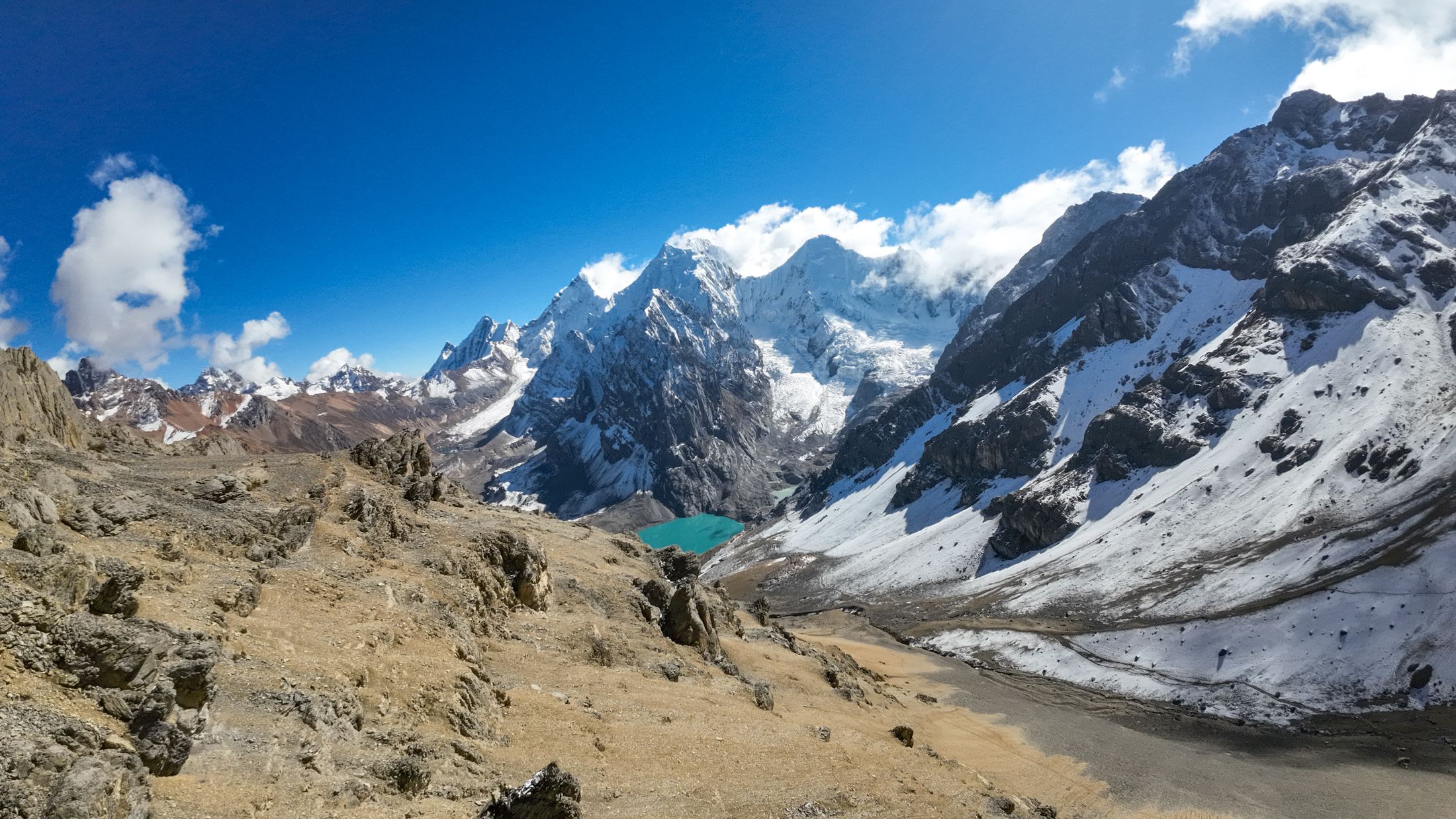
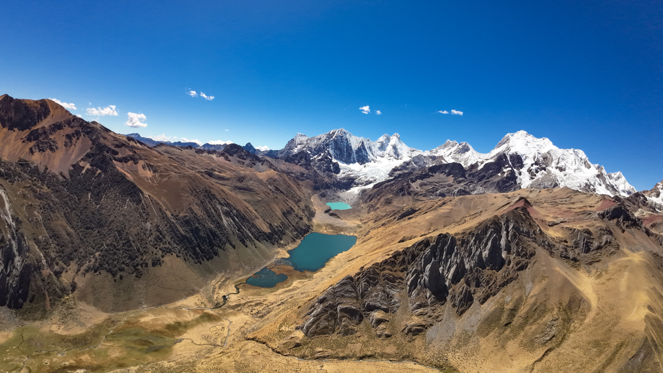
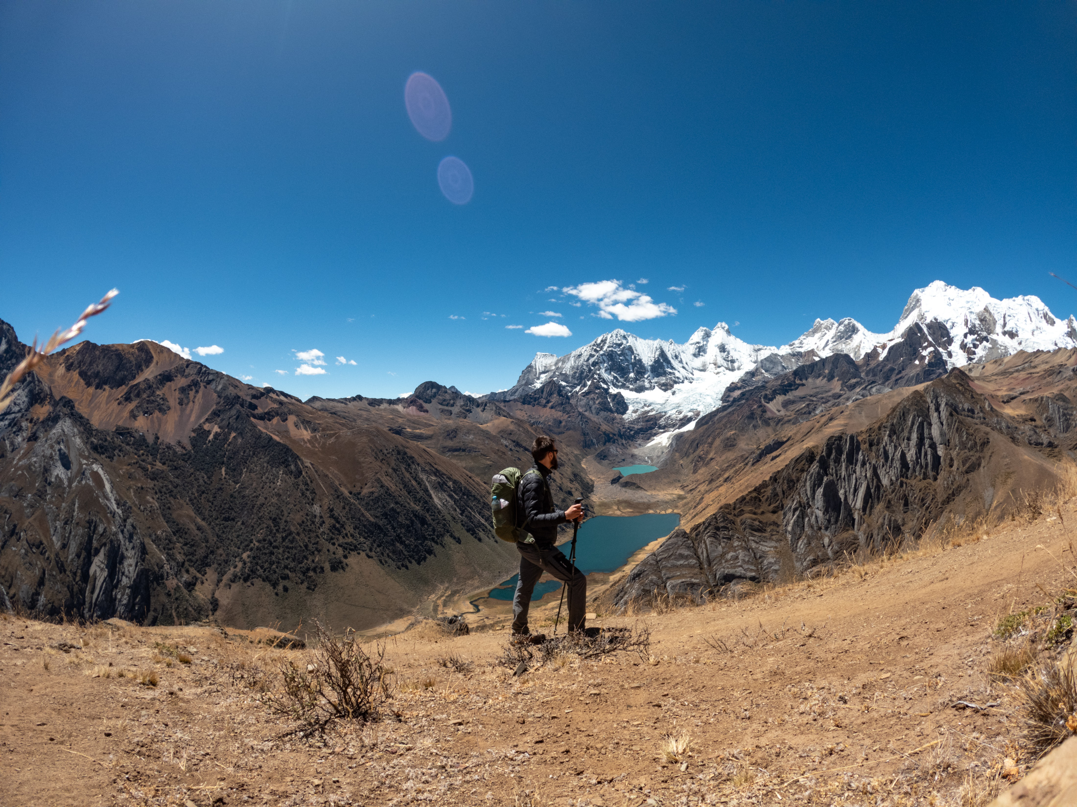
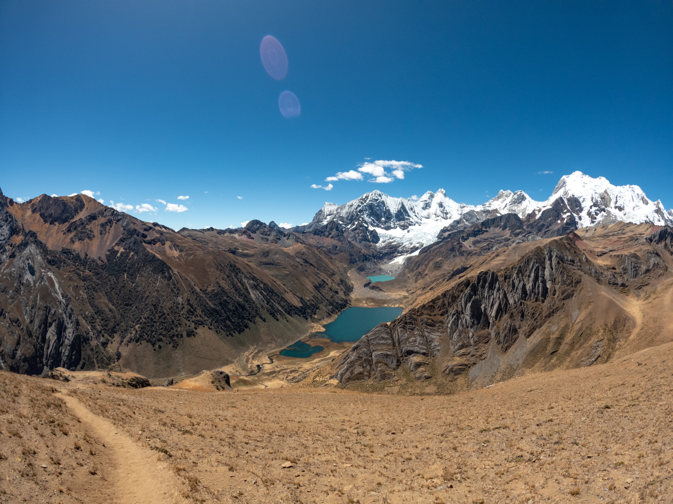
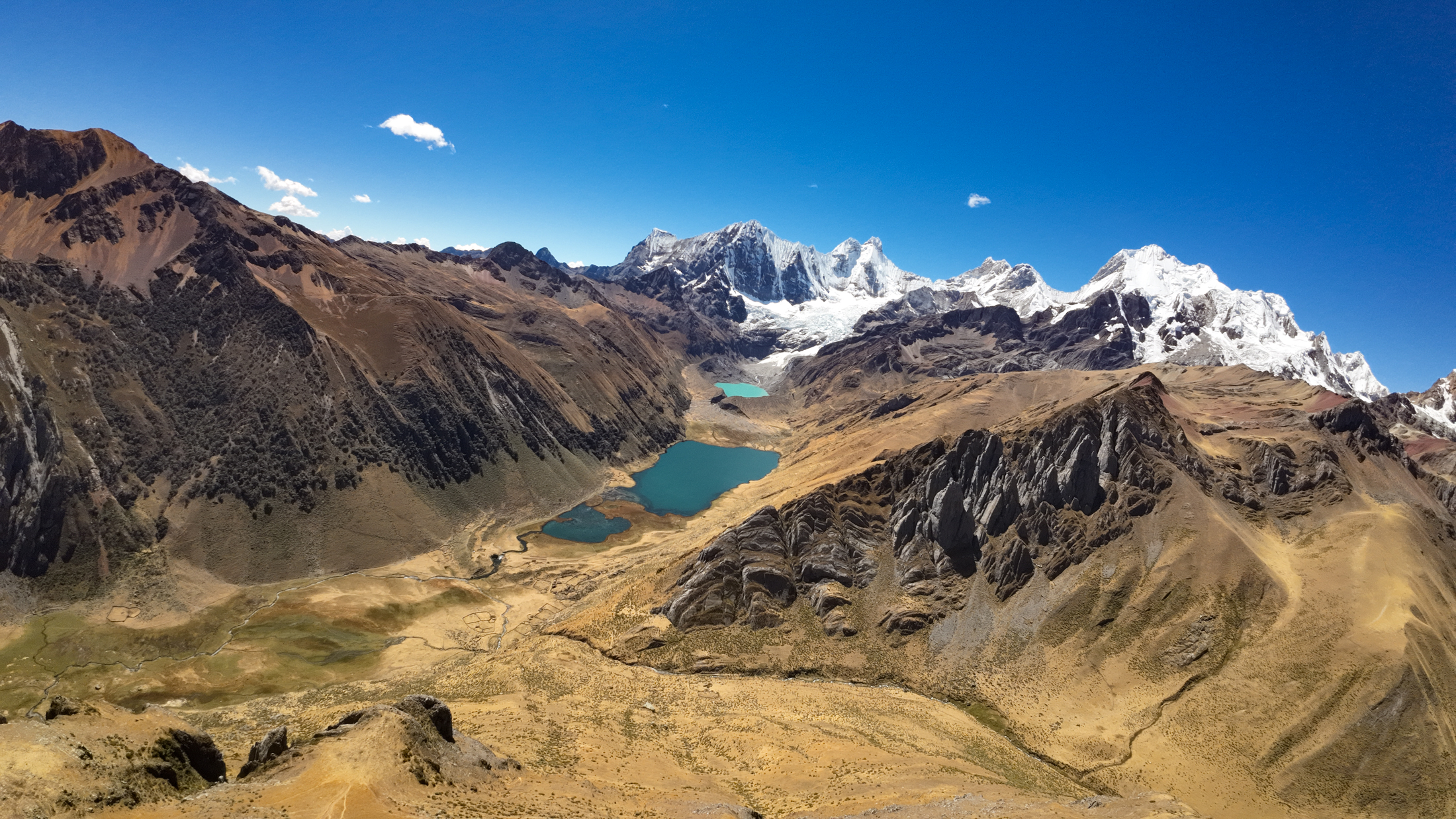
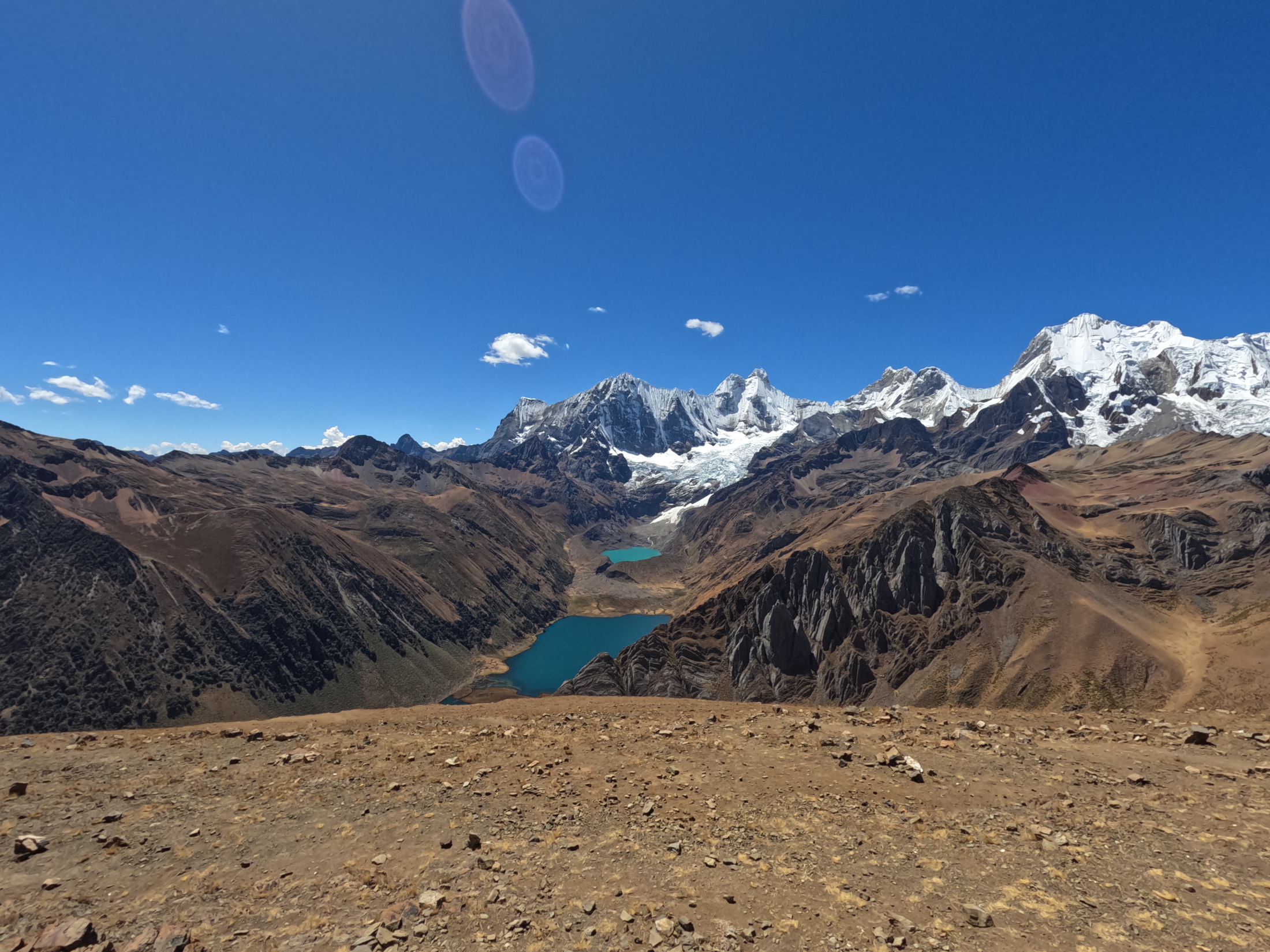
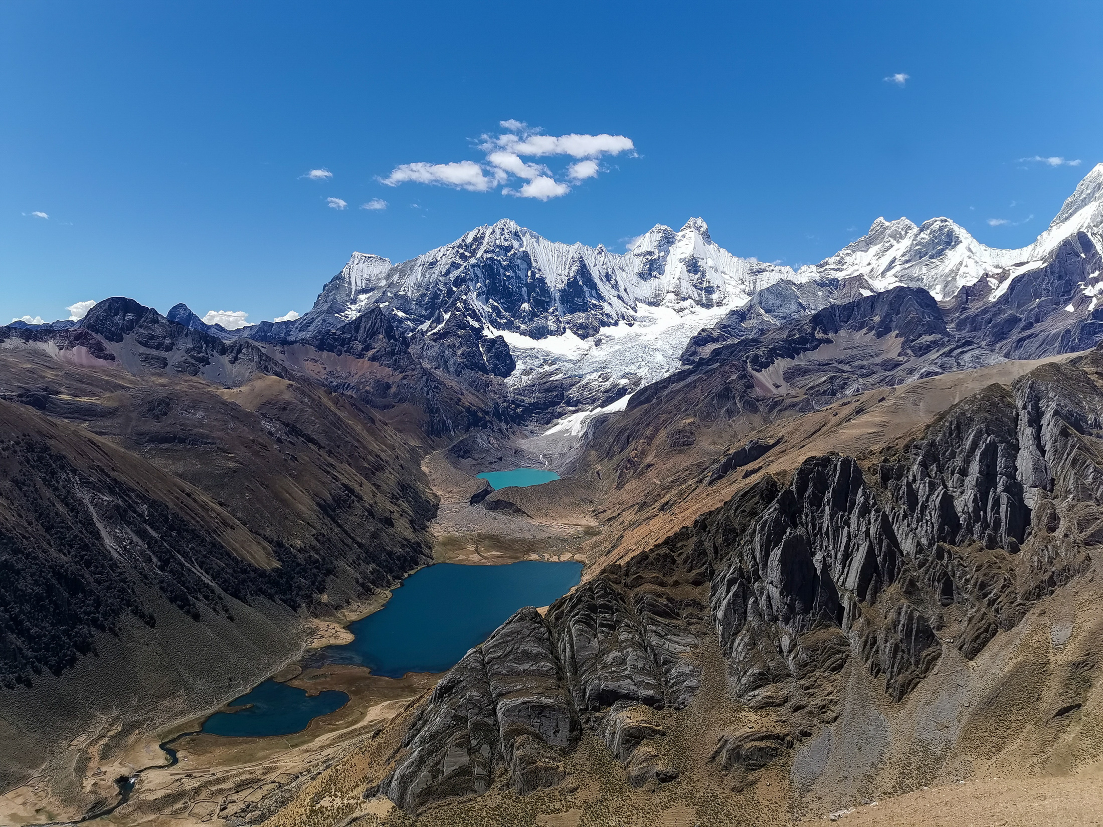
Our descent down the opposite slope took 40 minutes. We then enjoyed a short bonus climb to a grassy hilltop overlooking Laguna Jahuacocha and Laguna Solteracocha. The view was extraordinary, framed by the towering western ice faces of Yerupajá and Jirishanca.
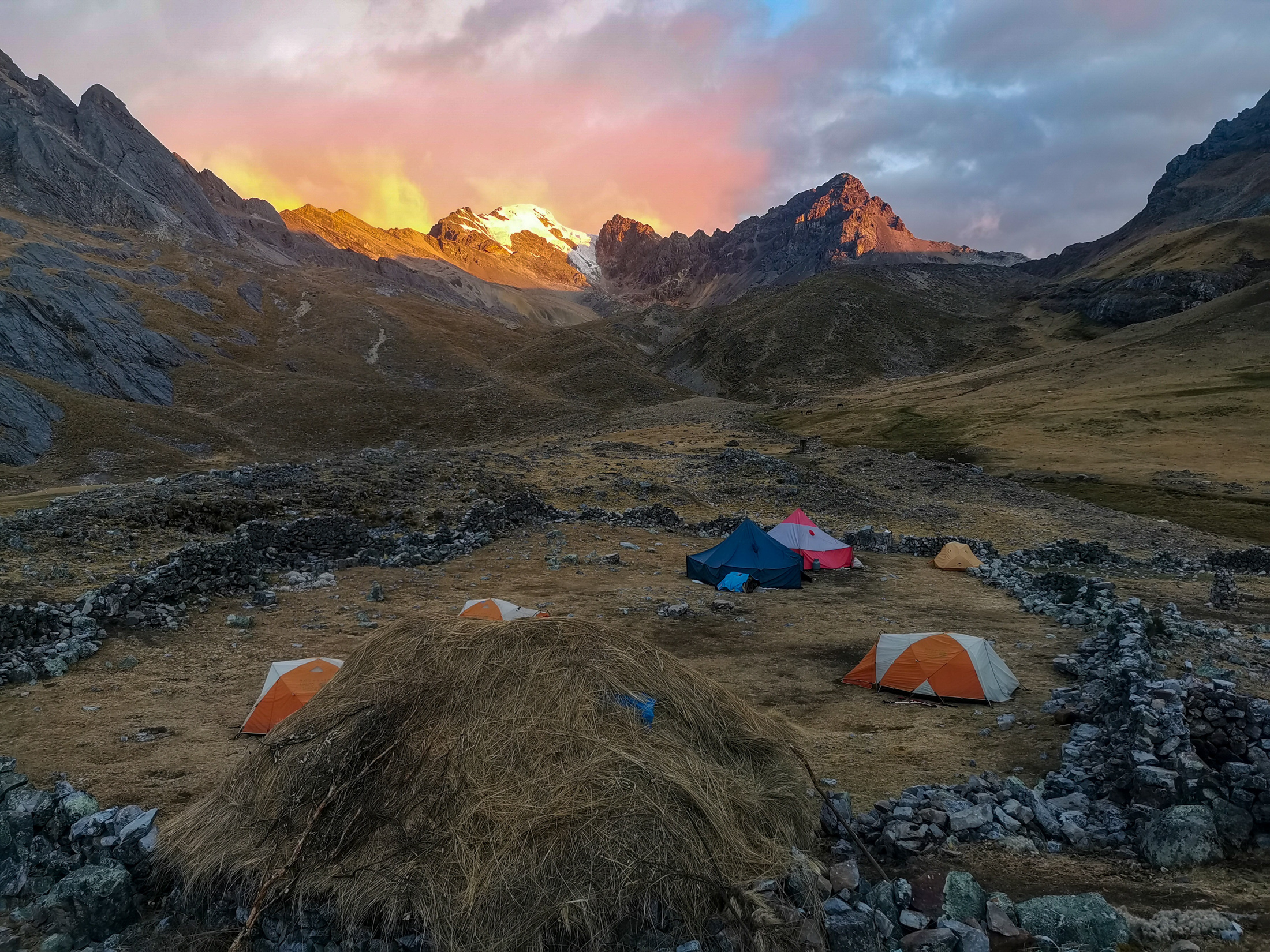
After setting up our camp beside the lake, we enjoyed a well deserved lunch around 2:00 pm. I spent quiet afternoon moments in my tent before dinner, which was a relaxed affair. Afterward, we gazed up at the brilliant night sky for our final remote wilderness camp on the circuit.
DAY 7: HIGH PASS TRAVERSE AND DESCENT TO CAMP
On the seventh day, with the end of our journey in sight, we experienced a particularly cold night. Within the warmth of our sleeping bags, we stayed comfortable, but stepping outside into freezing morning air urged us to pack quickly and seek the sun.
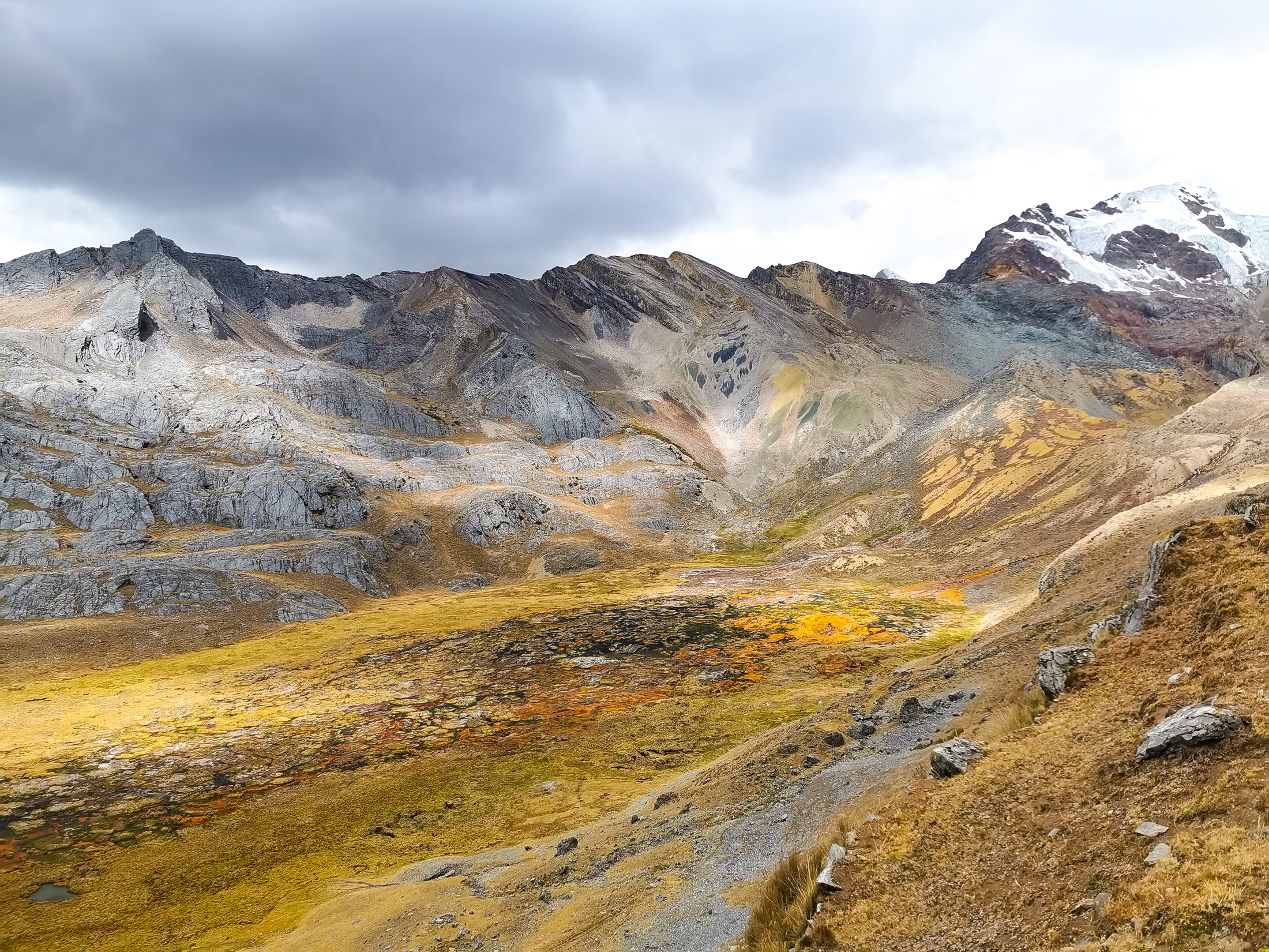
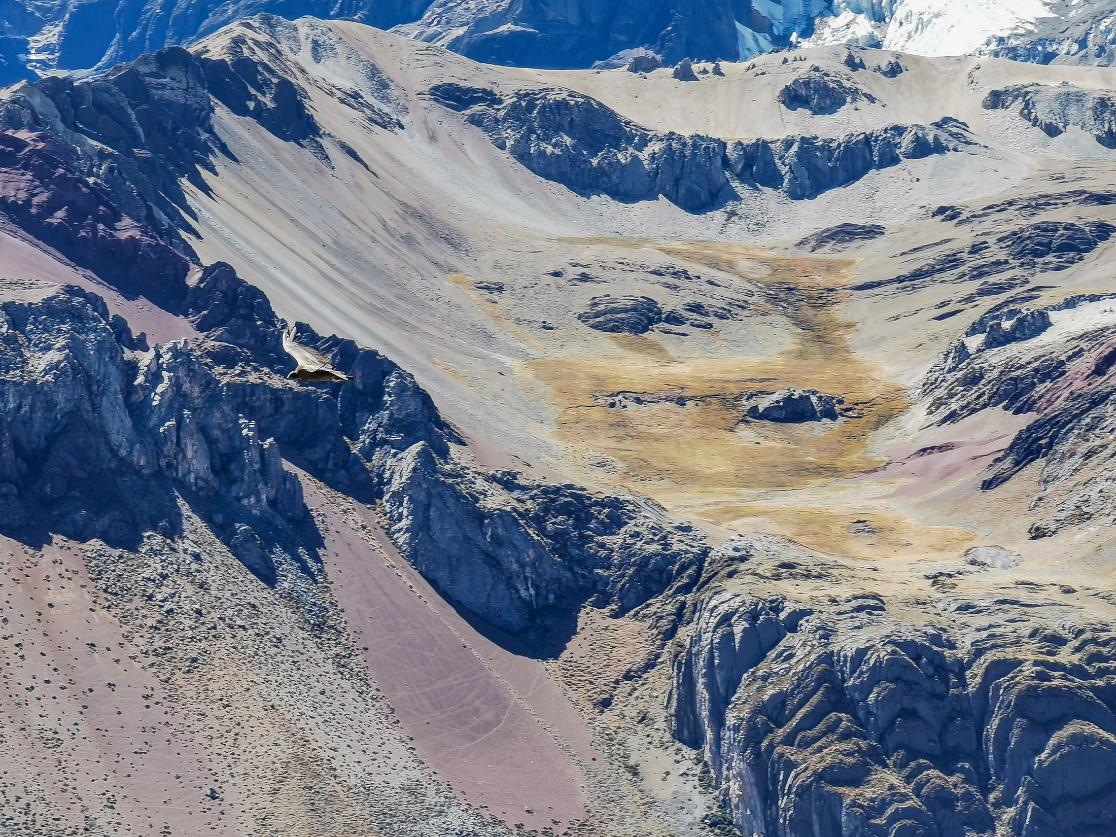
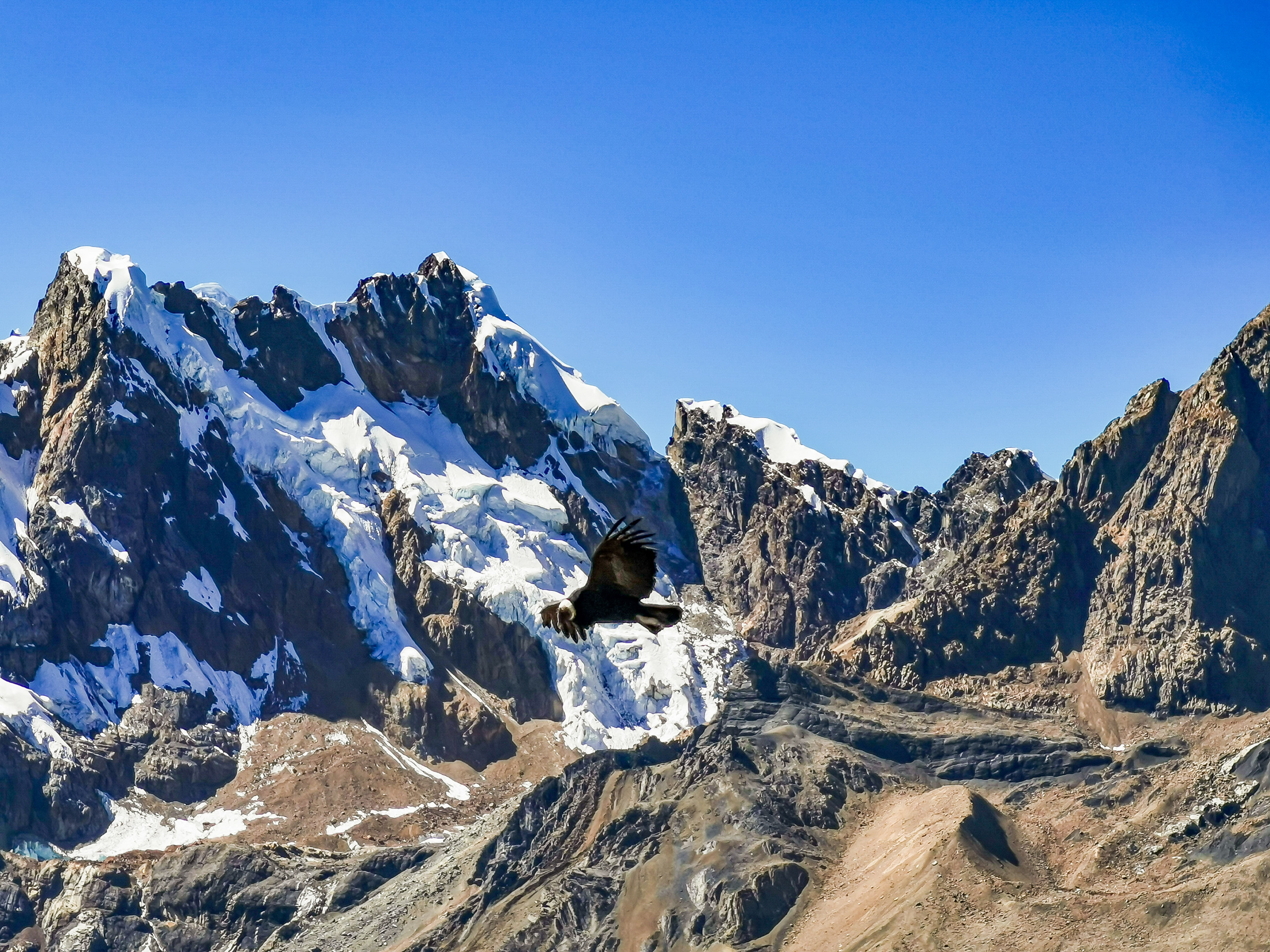
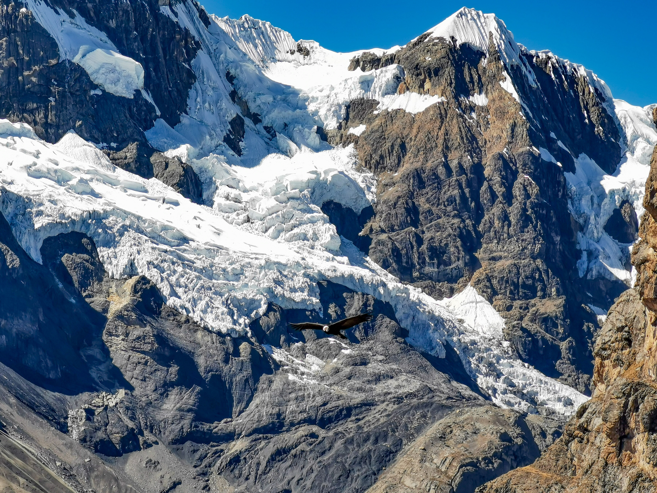
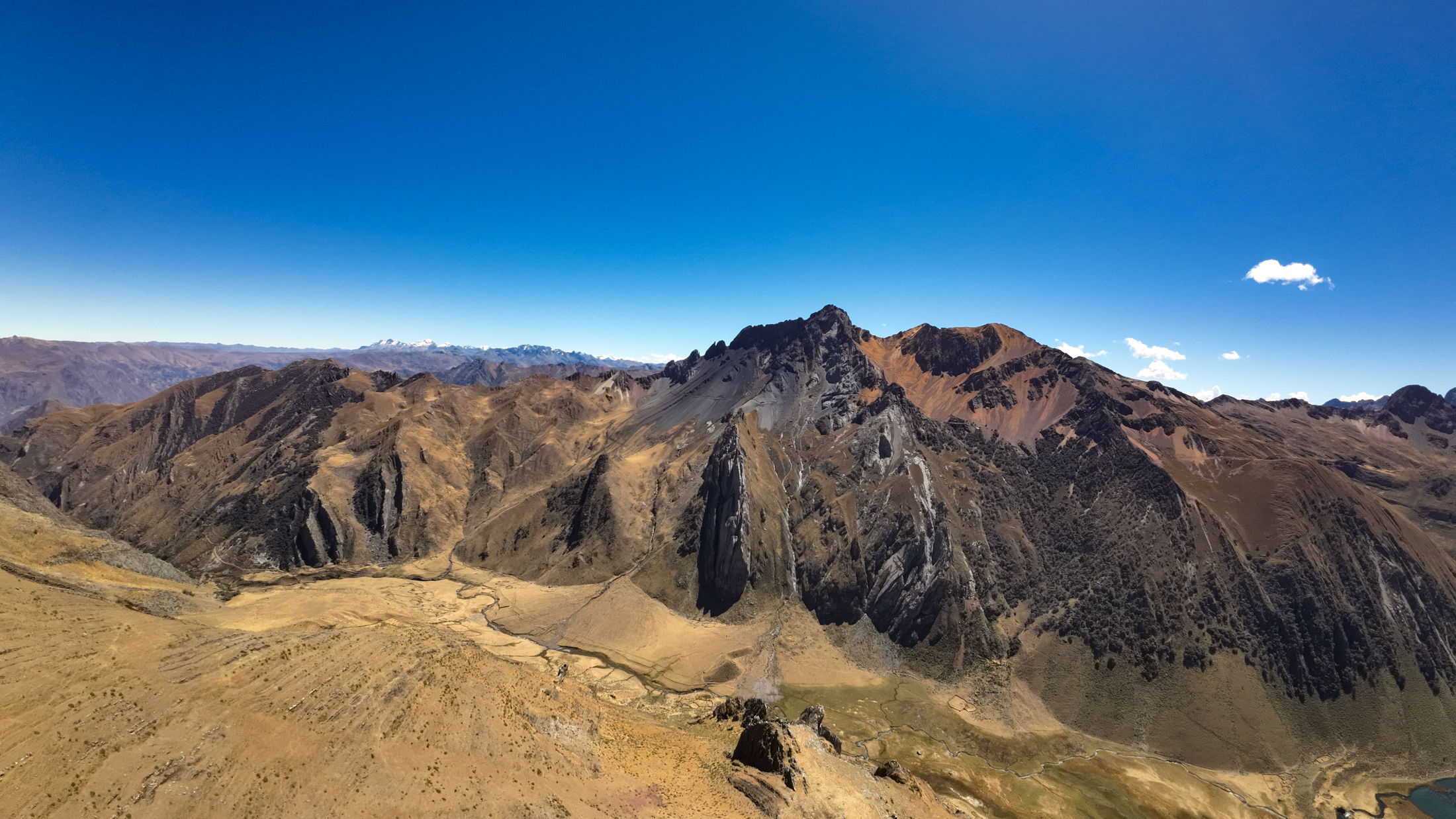
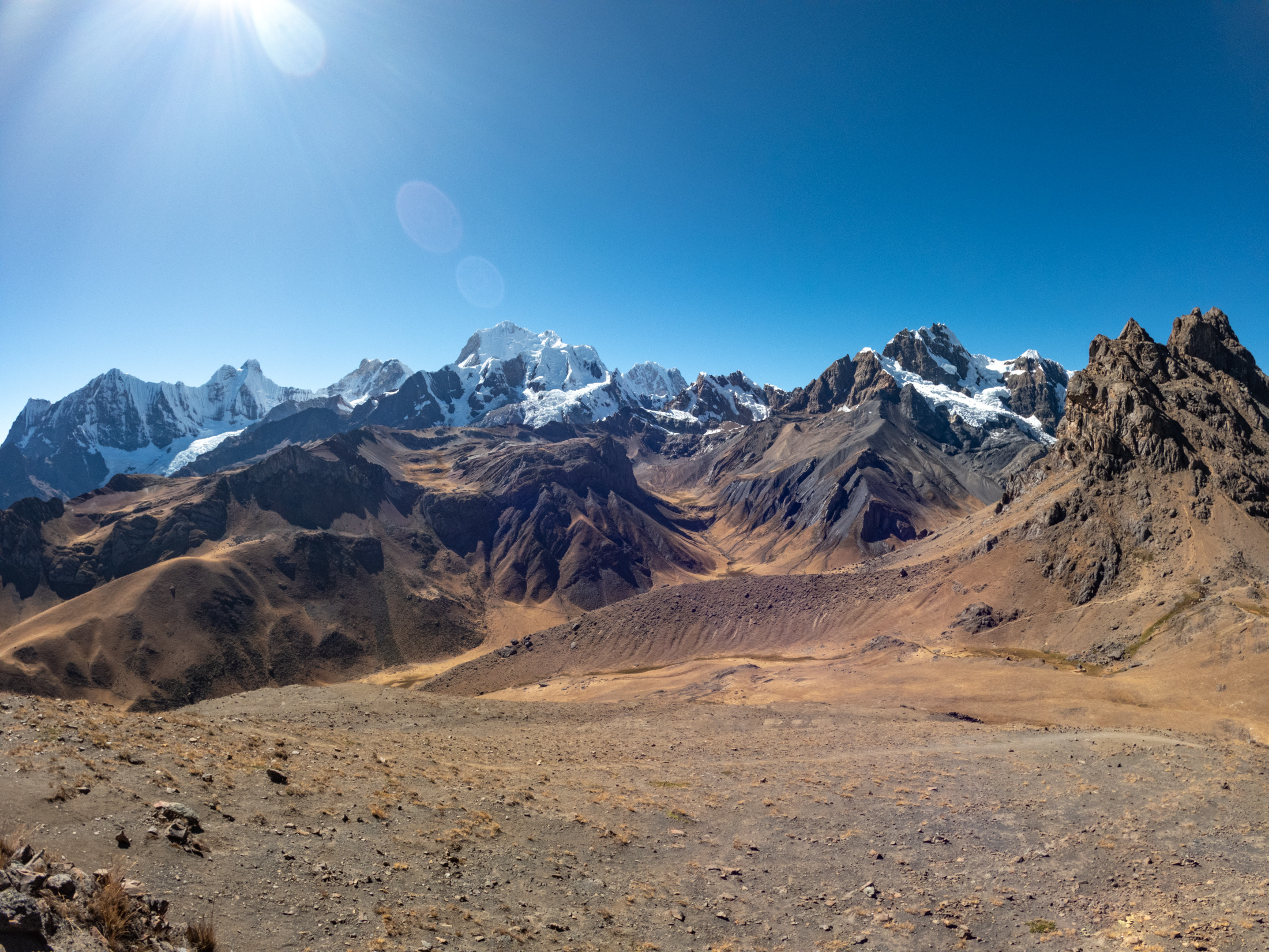
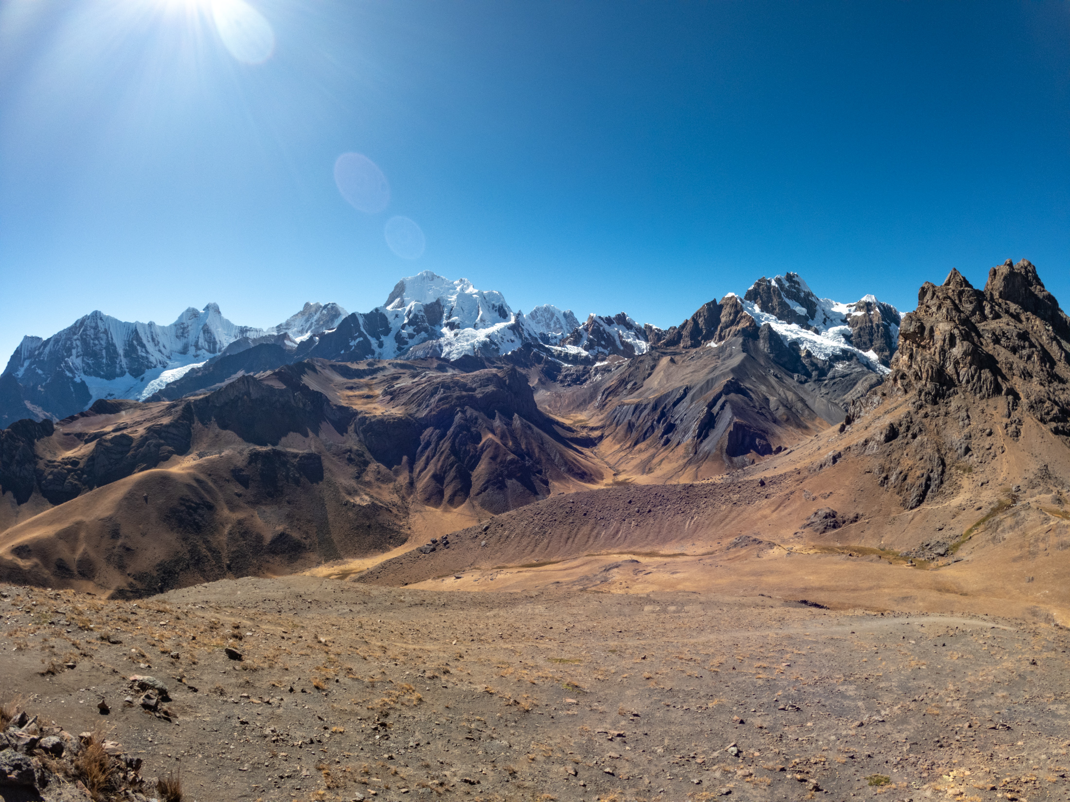
The day began with another gradual climb lasting two hours, leading us up to an altitude of around 5000 meters once more. We reached the summit pass and took time to admire the expansive views of the Cordillera Huayhuash range behind us.
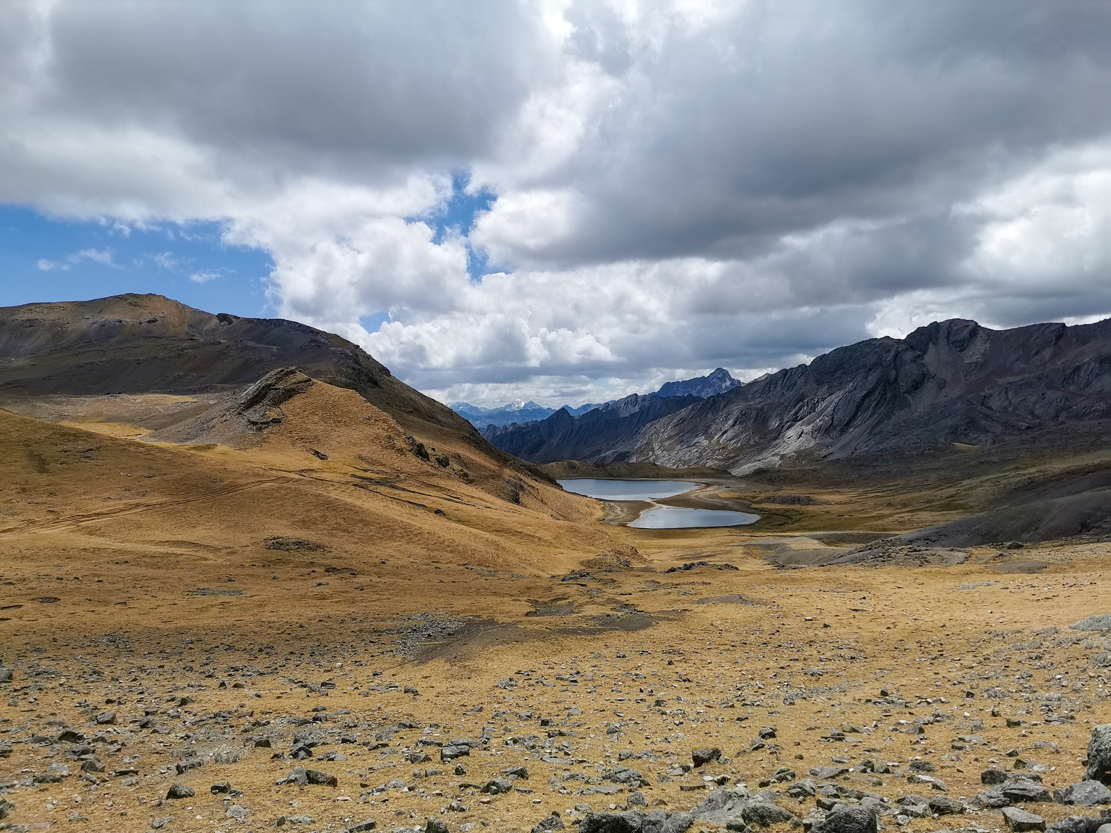
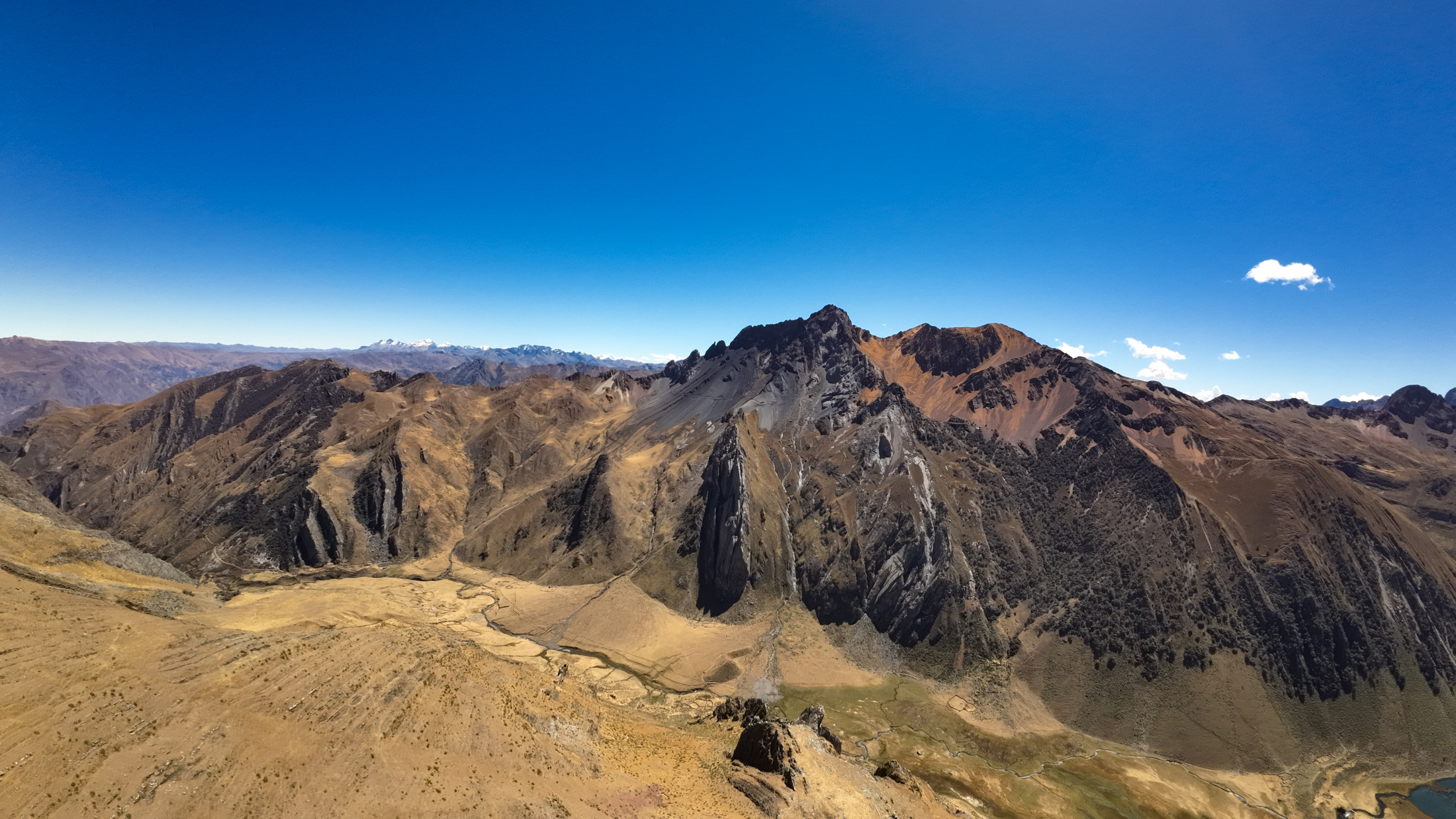
Continuing our journey, we navigated a steep and challenging descent, then proceeded along a gentle, open mountain path for over 10 kilometers. The entire group found renewed energy after our midday meal, making steady progress to our final camp after covering 10.5 kilometers.

DAY 8: FINAL PASS DESCENT TO LLAMAC AND RETURN TO HUARAZ
Our eighth and final day had arrived. Our morning routine felt bittersweet as we packed our gear for the last time. Departing around 7:15 am, our journey began with an easy walking section across high pastureland.
Opting for the higher trail, we climbed for two hours, gaining about 250 meters in elevation over the final pass. The path was longer than expected, but cresting the ridge gave us our final parting view of the snow capped peaks.
The trek concluded with a two hour descent covering 6 kilometers down dusty switchbacks to the village of Llamac. We were physically exhausted, but spirits remained high after completing the full circuit.
Our transport van met us in Llamac. During the drive, we stopped for lunch, although service was slower than expected. Further along the mountain highway, we encountered an unexpected roadblock that caused a brief delay. Finally, after an additional two hours of driving, we arrived safely back in Huaraz to celebrate the journey.
COMMUNITY FEES AND HIGH ALTITUDE CAMPING
The Cordillera Huayhuash operates under an autonomous community land management system rather than a unified national park. The circuit traverses territories belonging to multiple rural campesino communities, including Llamac, Pocpa, Queropalca, Huayhuash, Viconga, Huayllapa, and Pacllon.
Each community maintains checkpoints along the trail and collects a fee per trekker, which funds trail maintenance, basic camp facilities, and conservation. Across the entire 8 day circuit, community fees total approximately 250 to 300 Peruvian Soles per person. When trekking with an organized tour, verify in advance whether these fees are included in your package or must be paid in cash directly to local officials at camp gates.
PRACTICAL TIPS AND HIGH ALTITUDE SAFETY
Hydration and Nutrition: At elevations between 4000 and 5000 meters, fluid loss through respiration is severe. Drink at least 4 liters of clean water daily and maintain electrolyte balance. All water from streams and rivers must be filtered or treated with purification tablets due to livestock grazing in the valleys.
Cold Weather Preparedness: Night temperatures routinely drop below freezing, frequently reaching minus 5 to minus 10 degrees Celsius. A certified 4 season alpine sleeping bag with a comfort rating of at least minus 10 degrees is mandatory, paired with an insulated sleeping pad to prevent ground heat loss.
Electronics Management: Lithium batteries lose charge rapidly in sub zero conditions. Keep phone and camera batteries inside your sleeping bag overnight. The village of Huayllapa on day five provides the single opportunity on the trek with electrical outlets to recharge camera and drone batteries.
TOUR OPERATOR REALITY AND BUDGET BREAKDOWN
For the complete 8 day trek, I paid 1750 Peruvian Soles to the booking agency in Huaraz, plus 100 Soles as a tip for the hard working porters and camp cook.
A crucial insight regarding tour booking in Huaraz: most street front tourist agencies act merely as brokers. They sell trekking spots and then pool customers into groups operated by third party subcontracting providers, rarely running the logistics themselves.
In my case, the tour was purchased from Mont Blanc Tour, but the actual on trail logistics were executed by Galaxy Expeditions. The tents, sleeping mats, and sleeping bags supplied by Galaxy Expeditions were in poor condition. Following our return to Huaraz, I reported these equipment deficiencies to Mont Blanc Tour, who issued a 200 Soles refund. When booking in Huaraz, ask to inspect the actual trekking tents and sleeping gear before payment, or bring your own tested alpine camping gear.
PERU TRIP VIDEO DOCUMENTARY
This video is a summary of my whole Peru trip. Beyond the rugged alpine passes, turquoise lakes, and mountain camps of the Cordillera Huayhuash, it captures the broader journey across Peru, including high altitude acclimatization hikes around Huaraz and stunning landscapes throughout the country.

Hi Matthias! It’s Lex from Kearsarge Pass hike. I’m reading through your blog and learning a lot from your adventures. I would save it (Cordillera Huayhuash) for my future reference. Keep it up! It’s so cool. 🫶🏻 Btw, which camera did you use for these shots, it looks amazing!
Hi Lex! Thanks so much! I used a GoPro 10, DJI Avata and a Huawei P30 Pro for those shots. Glad you’re enjoying the blog and that you’re finding it useful! The Cordillera Huayhuash is definitely a gem— hope you get to experience it one day!