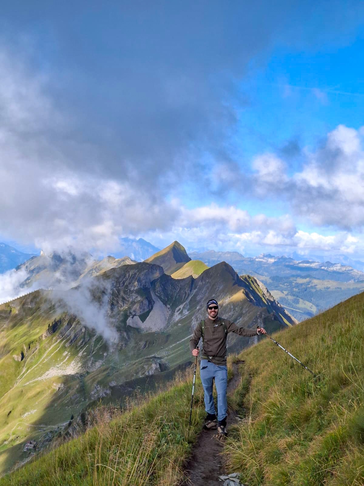
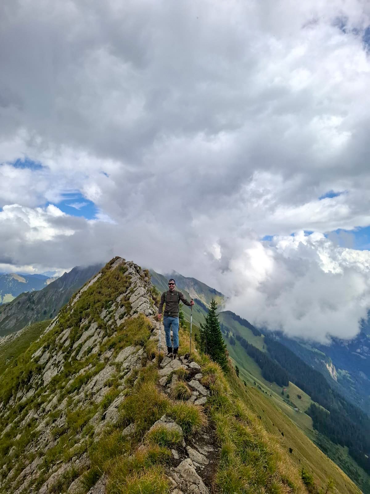
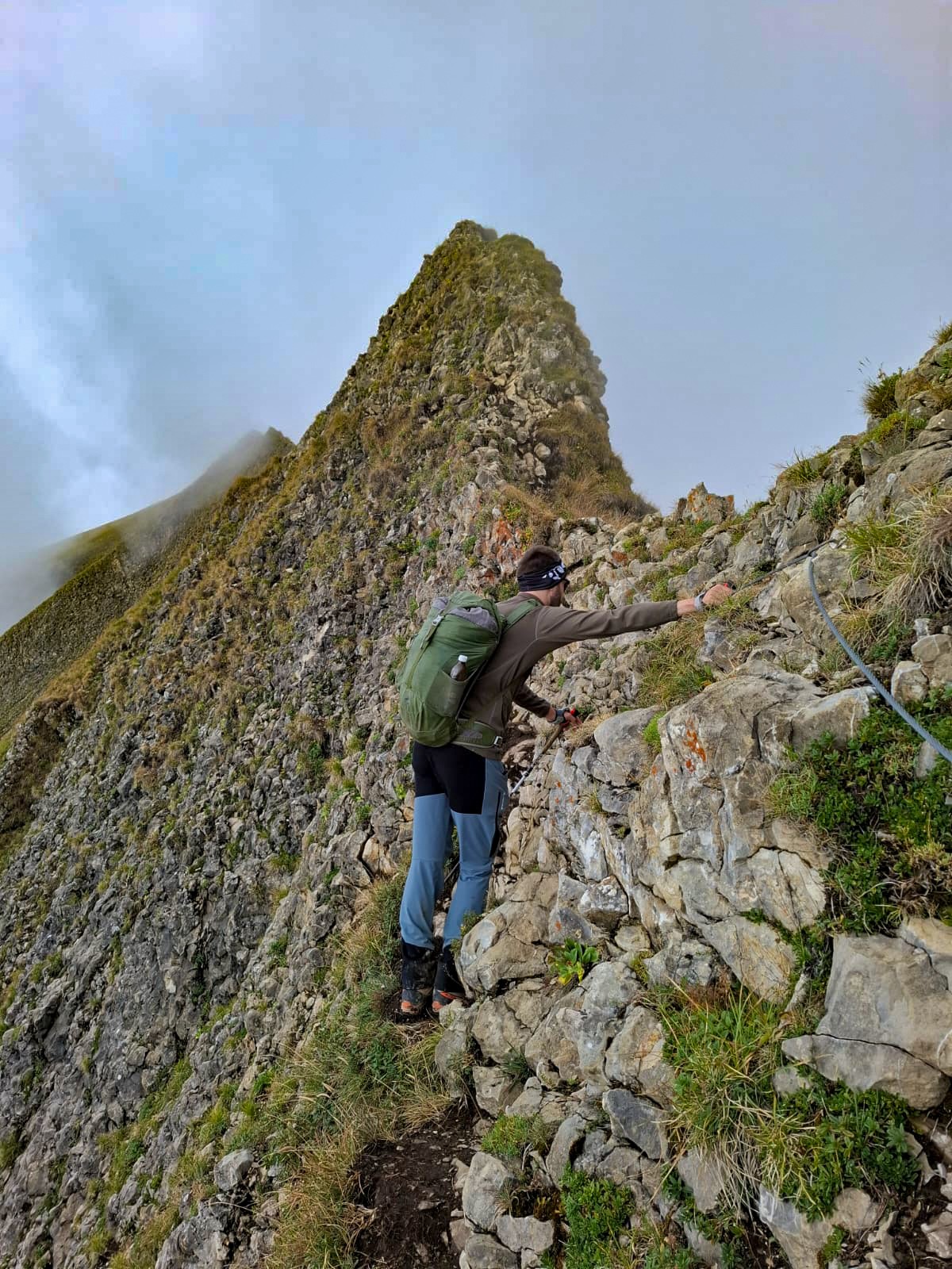
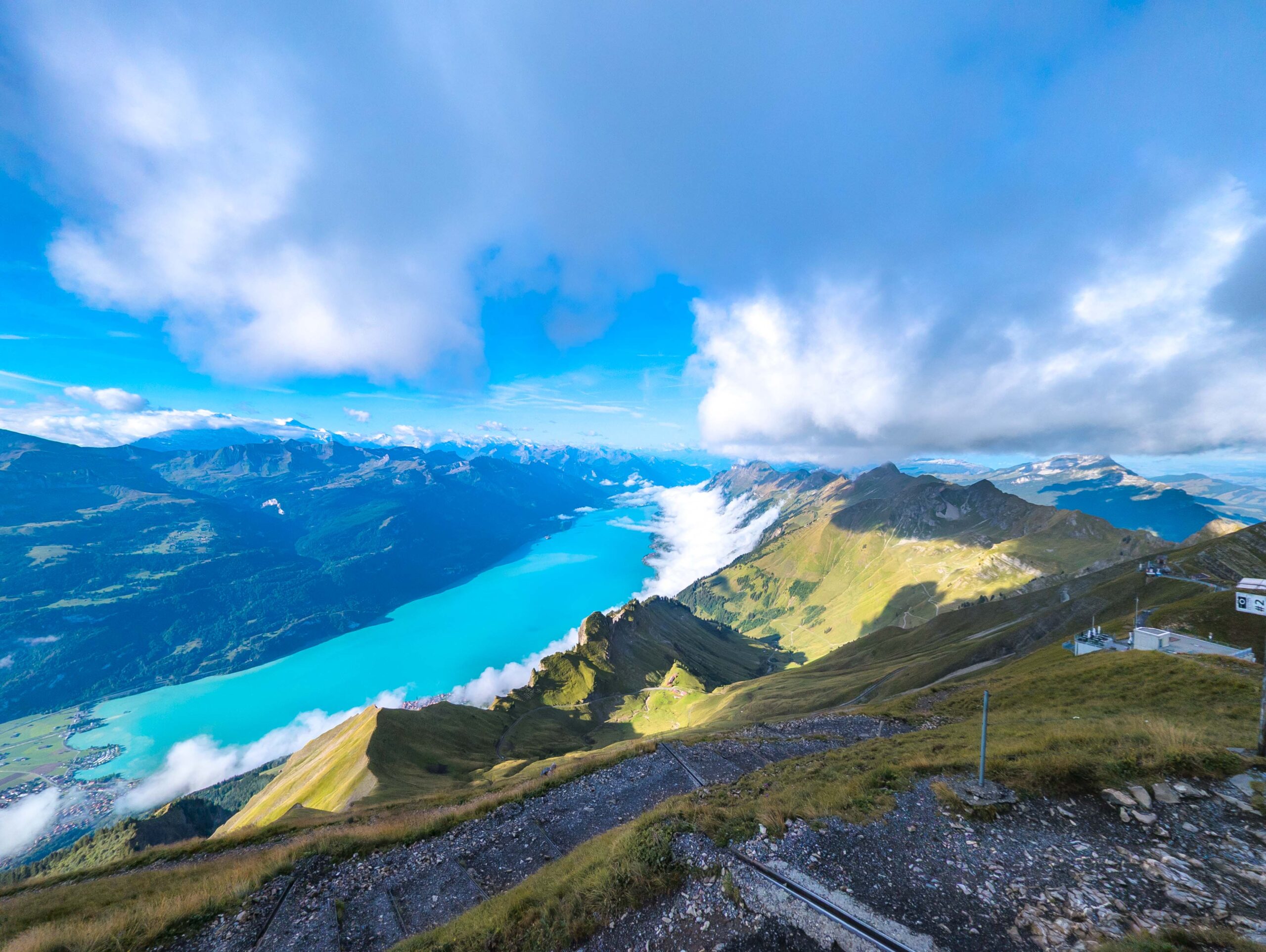
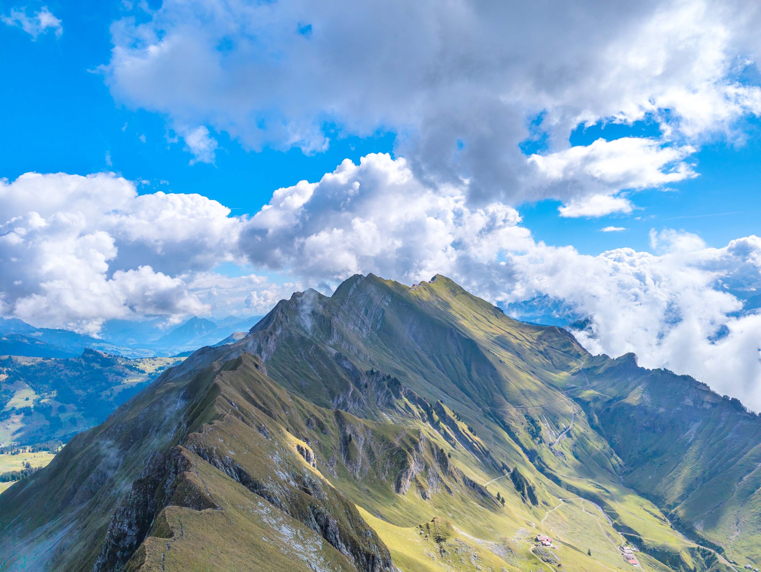
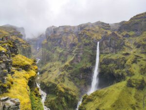
The ridge between Brienz and Interlaken, known as both the Brienzergrat and the Hardergrad, is one of the most famous mountain hikes in Switzerland. On 22 August 2026, I completed the full crossing. Here is how the day went, along with practical details for anyone planning the route.
Planning and Tickets
I wanted to do this hike about a year ago, but when I arrived in Brienz, the steam train was completely booked out for the entire day. About five years earlier, when I walked from Brienzer Rothorn to Hasliberg, the railway still offered the first train in the morning for half price with plenty of space.
This year, I made sure to prepare properly. The tickets were sold out three days in advance, but I bought mine early online. At 7:36 AM, I was sitting in the first wagon heading up to Brienzer Rothorn.
Why Walk from Brienzer Rothorn to Harder Kulm?
Walking from east to west is the better choice for several practical reasons:
- Elevation Gain: Brienzer Rothorn sits higher than Harder Kulm, which saves you around 800 to 1000 meters of vertical ascent.
- Train Timetables: The funicular at Harder Kulm runs until late in the evening. If you walk slower than planned, you will still catch a ride down. The steam train at Brienzer Rothorn stops running much earlier in the afternoon.
- Lighting: Walking west keeps the morning sun behind you, giving you clearer views of Lake Brienz and the Bernese Alps.
- Transport Links: Finishing at Harder Kulm brings you directly into Interlaken Ost, where train connections are frequent.
The Start of the Hike
The train arrived at the top station around 8:30 AM. I first took a quick fifteen minute walk to the summit of Brienzer Rothorn to check the view, and at 9:00 AM we started the actual ridge hike.
The beginning of the trail was quite relaxed on a well shaped path. Rain had fallen the night before, so we were cautious about slippery sections on the grass, and there was still a chance of more rain later. Luckily, the morning started with clear sunshine.
Missing the Path and Finding a Fossil
Before reaching the Tannhorn, we accidentally took a left turn because the main path was unmarked at that spot. We ended up walking downhill for about thirty minutes before realizing we were off track.
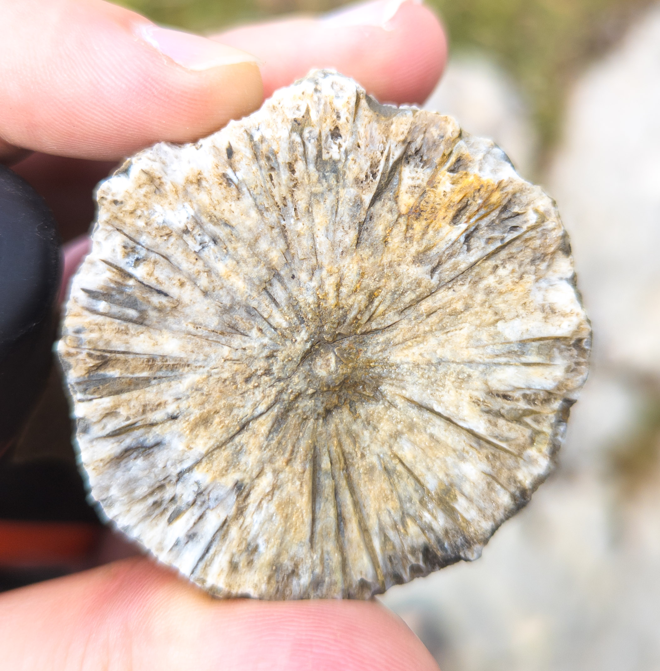
On this unintended detour, we found a fossil coral in the rock. The limestone in the Swiss Alps originally formed on the floor of the ancient Tethys Ocean millions of years ago. When the African and European tectonic plates collided, these marine sediment layers were pushed up into mountain ranges, leaving sea fossils high above the valley.
We then hiked back up to rejoin the ridge trail.
Tannhorn and Augstmatthorn
Both of us were slightly nervous about the Tannhorn passage, as it has a reputation for being narrow and exposed. It turned out to be much easier than we expected. We reached the summit of Tannhorn without problems and had clear views all around.
Shortly after leaving Tannhorn, it started raining for about five minutes. As soon as we put on our rain jackets, the rain stopped completely.
From that point on, the trail went steadily up and down along the crest until we arrived at Augstmatthorn.
Finishing at Harder Kulm
From Augstmatthorn, it took another two hours to hike down through the meadows and woods to Harder Kulm.
Once at Harder Kulm, we took the funicular down to Interlaken. We arrived at the bottom around 7:00 PM, which made it roughly nine hours of total walking time.
If you plan to hike the Brienzergrat, remember to book the steam train well ahead of time, check trail conditions after rain, and carry enough water for the entire ridge.