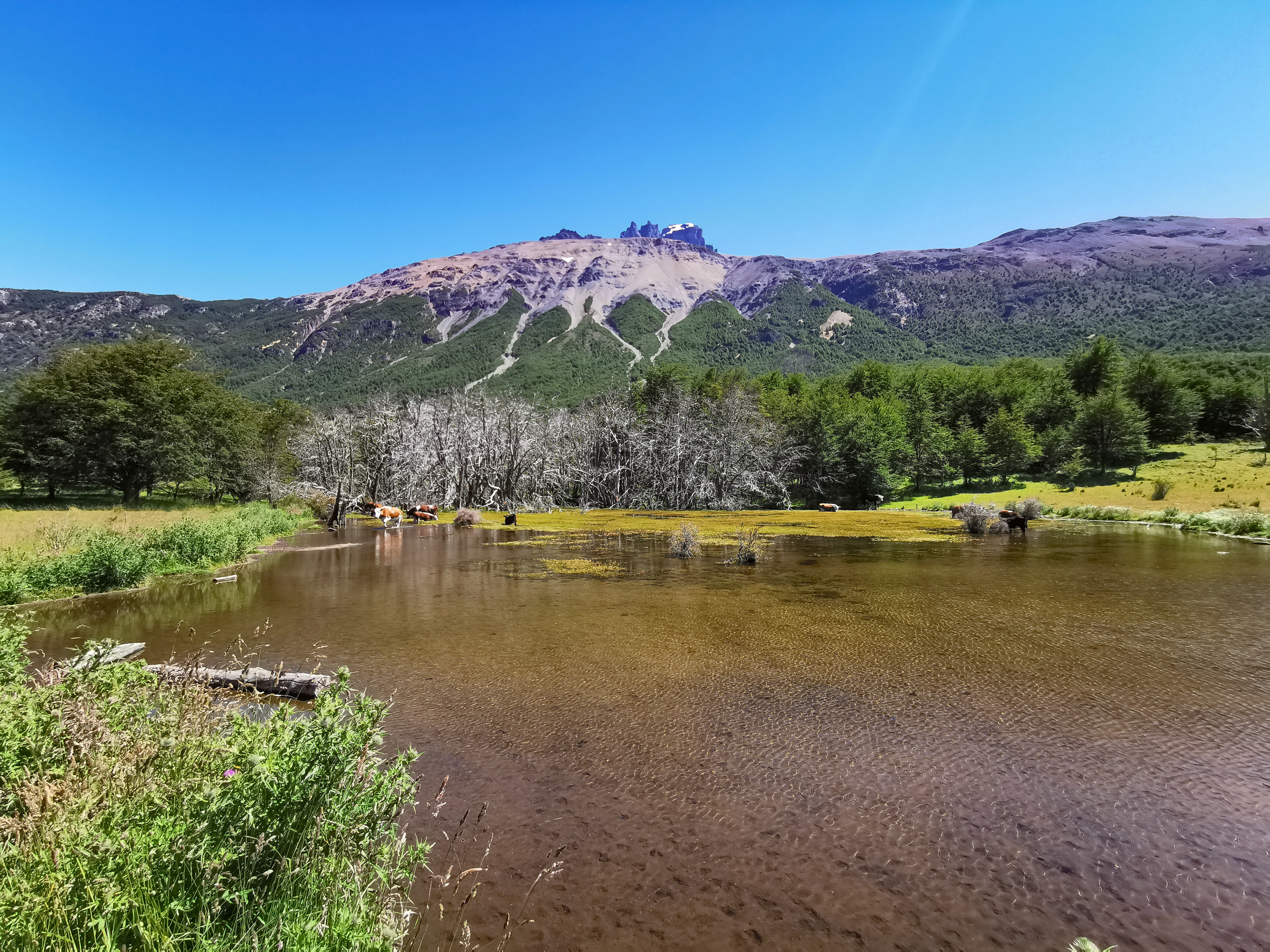
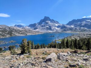
Second only to Torres del Paine in reputation among hikers in Chile, Cerro Castillo is celebrated for its dramatic basalt spires resembling a fortified castle and its brilliant glacial lagoon. Located along the legendary Carretera Austral in the central Aysén Region, this day hike offers alpine drama without the overcrowding seen in more accessible national parks.
The day hike requires a solid level of physical fitness, climbing over 1100 vertical meters from the valley floor through ancient lenga beech forests onto exposed glacial moraine ridges. During my ascent, I had extraordinary fortune and was able to photograph an Andean Condor soaring in close proximity directly above the ridge.
| Location | Cerro Castillo National Park, Aysén Region, Chile |
| Activity Type | Alpine Day Hike |
| Distance | 14 km out and back |
| Duration | 7 to 8 hours round trip |
| Elevation Gain | 1100 m |
| Highest Point | 1250 m (Laguna Cerro Castillo Moraine) |
| Difficulty | Demanding |
| Trailhead | Villa Cerro Castillo (Carretera Austral) |
| Best Season | December to March |
| Date Visited | December 27, 2021 |
TRAILHEAD AND PLANNING LOGISTICS
The standard day hike (Sendero Laguna Cerro Castillo) begins just outside the rural village of Villa Cerro Castillo, located 95 kilometers south of Coyhaique on the paved portion of Route 7 (Carretera Austral). I organized this excursion from Coyhaique using a public bus that dropped hikers at the trailhead in the morning and provided a scheduled pickup in the late afternoon.
Park entry fees are paid at the CONAF ranger station at the trailhead. Once on the trail, route finding is straightforward, as the path is well defined, marked with distance signposts, and monitored by park authorities. The prime hiking season runs from December to March, when the upper scree slopes are clear of winter snowpack.
THE ROUTE AND TRAIL REPORT
Forest Climb: The initial trail climbs through rolling pasture before entering dense, old growth lenga forest. The gradient is steady and continuous, offering welcome shade beneath moss draped Antarctic beech trees as the valley recedes below.
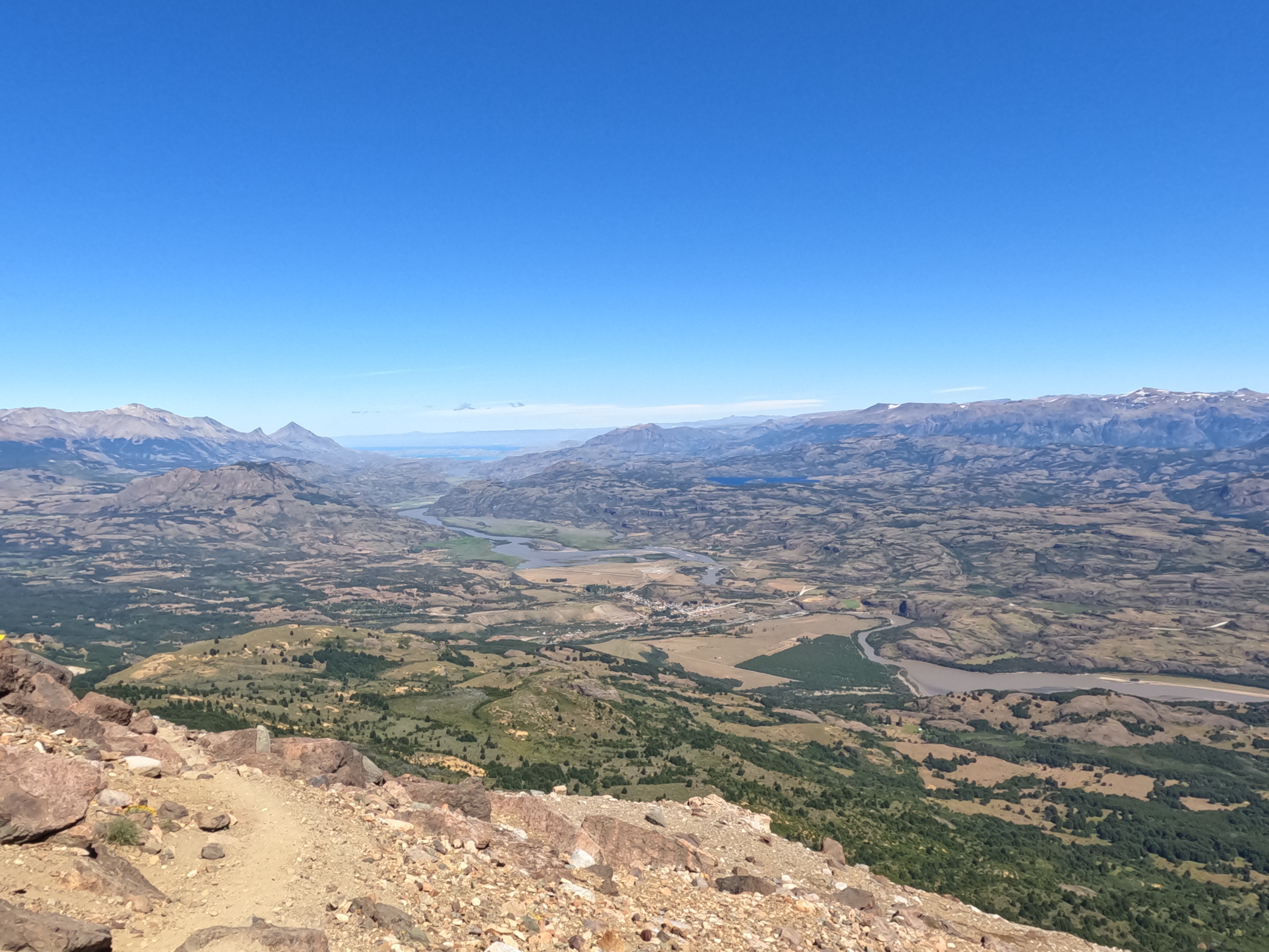
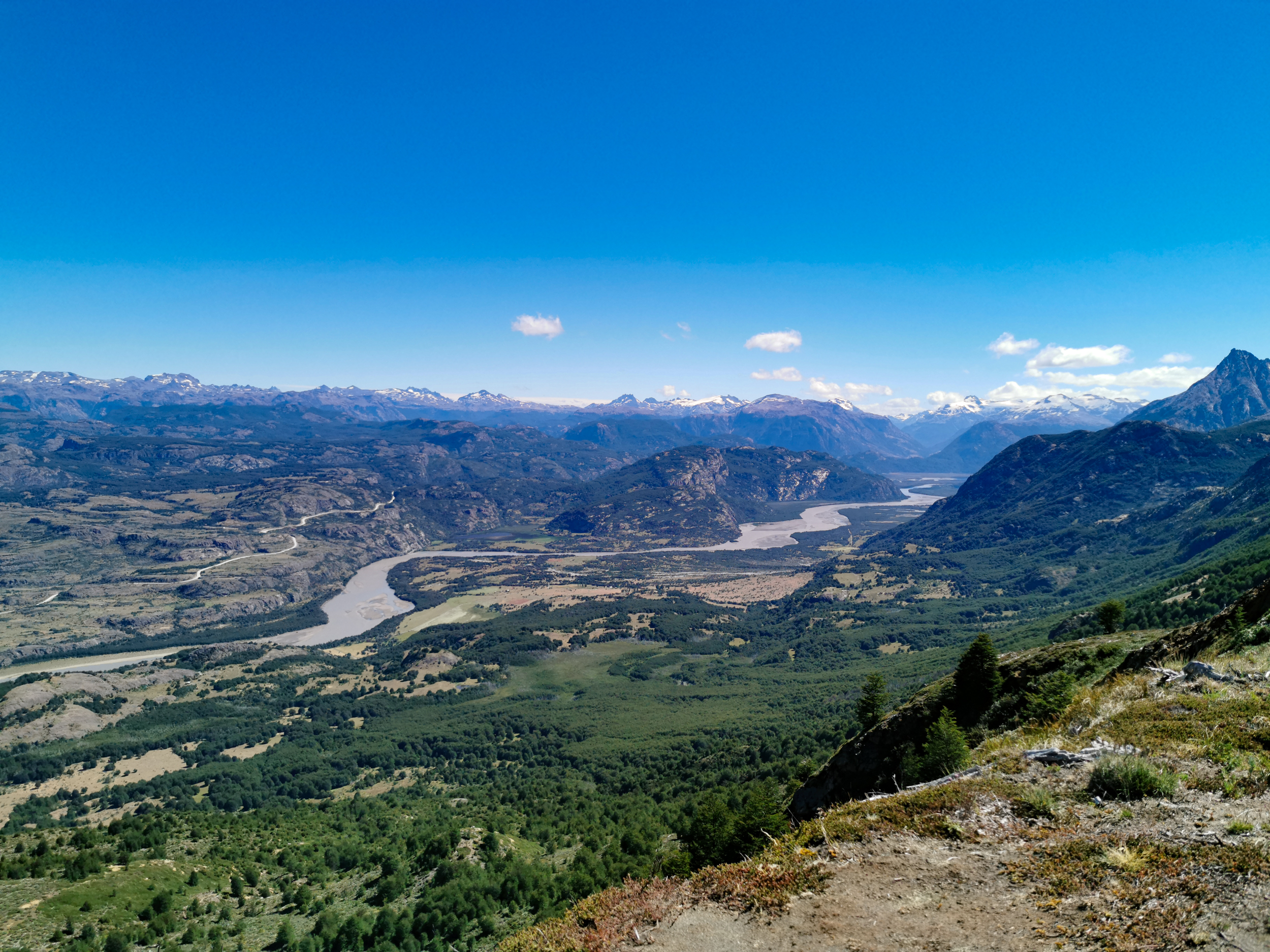
The Alpine Moraine: Emerging above the treeline, the path transitions onto steep, rocky moraines. Switchbacks navigate through dark volcanic shale and loose gravel. Looking out across the valley reveals sprawling views of the Río Ibáñez basin and distant Patagonian ice caps.
Close Encounter with an Andean Condor: As I climbed higher along the rocky spine, an enormous Andean Condor circled directly overhead, riding updrafts along the ridge. Its massive wingspan and white neck ruff were clearly visible as it glided effortlessly within a few meters of the trail, providing a truly unforgettable wildlife encounter.
The Glacial Lagoon: Reaching the crest of the moraine reveals Laguna Cerro Castillo, an electric turquoise glacial tarn cradled beneath the sheer rock towers and hanging glaciers of Cerro Castillo (2675 meters). The sheer scale of the rock amphitheater and the vivid blue water make this summit crest one of the most rewarding viewpoints in Patagonia.
PRACTICAL TIPS AND ESSENTIALS
Trekking Poles: Highly recommended for navigating the loose scree and steep descent from the upper moraine.
Wind & Sun: The upper moraine is fully exposed to severe Patagonian gusts. Pack windproof outerwear, sunblock, and sunglasses.
Bus Coordination: Verify the evening return bus schedule carefully before starting the hike to ensure adequate time for the descent.
PHOTO GALLERY