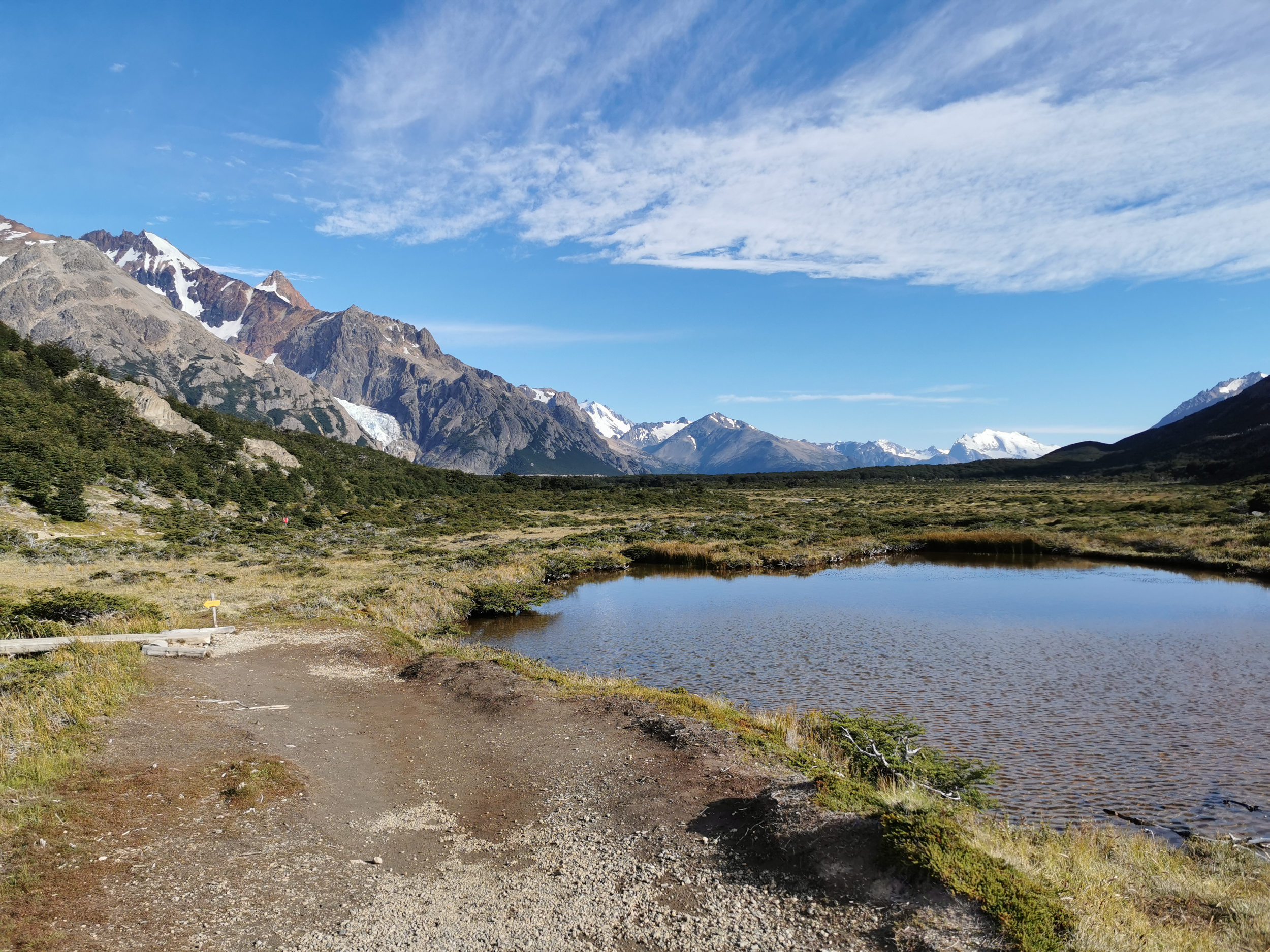
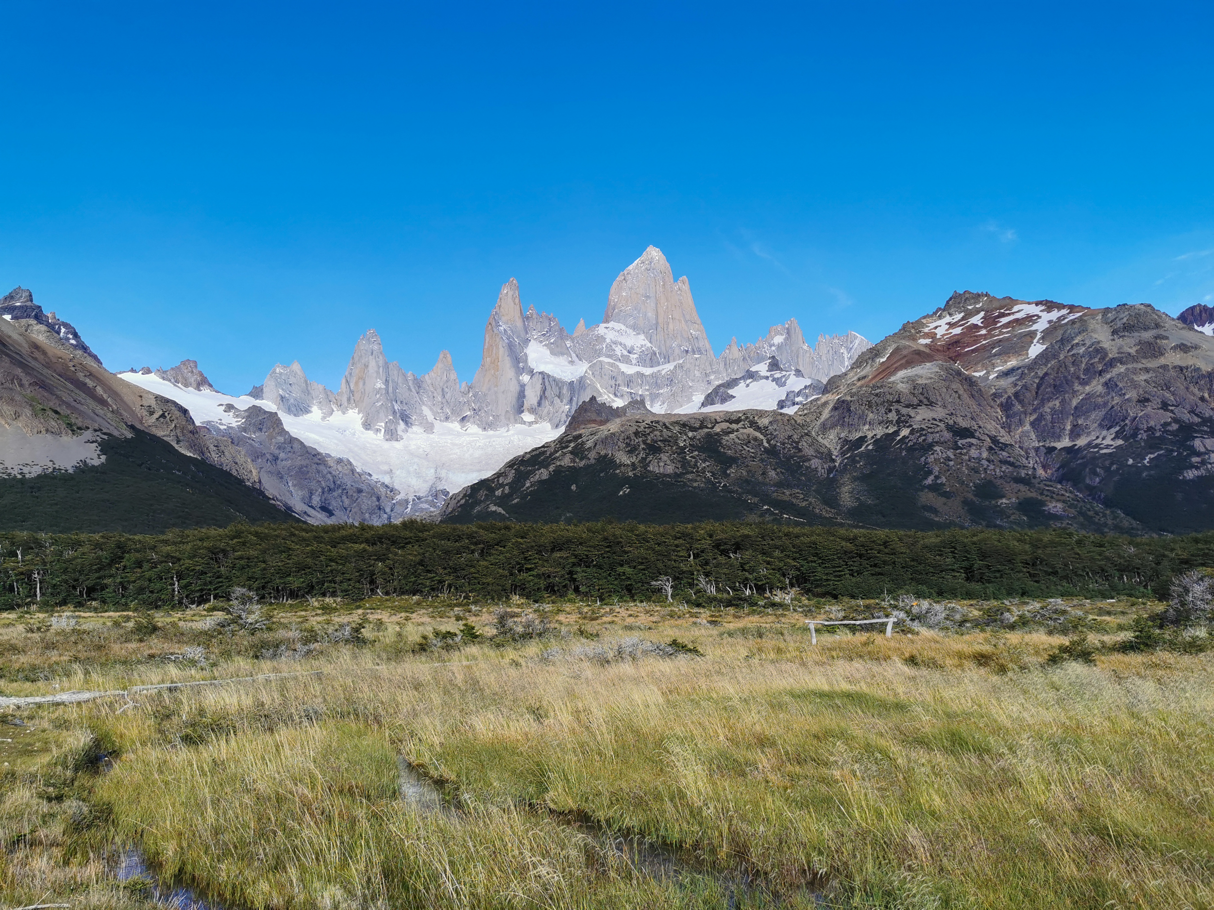
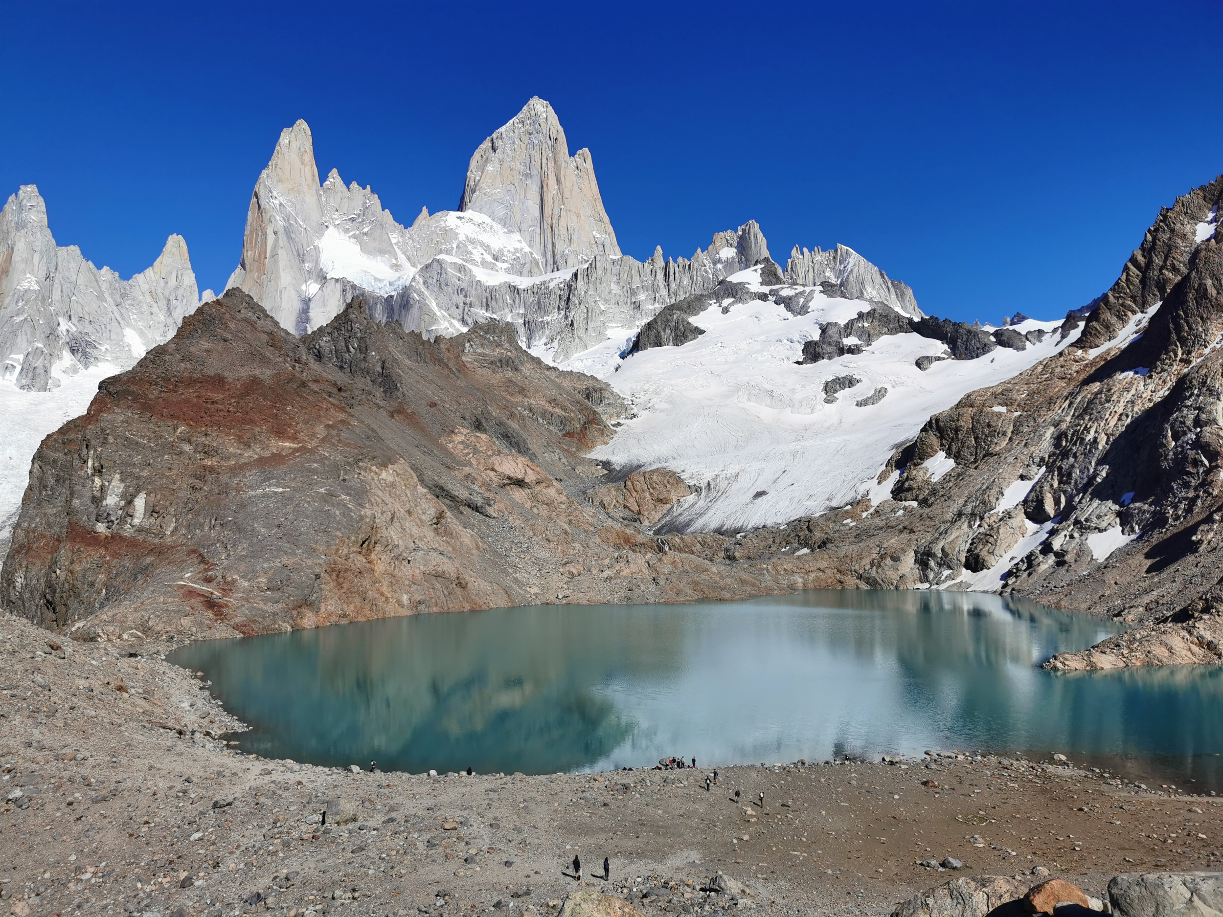
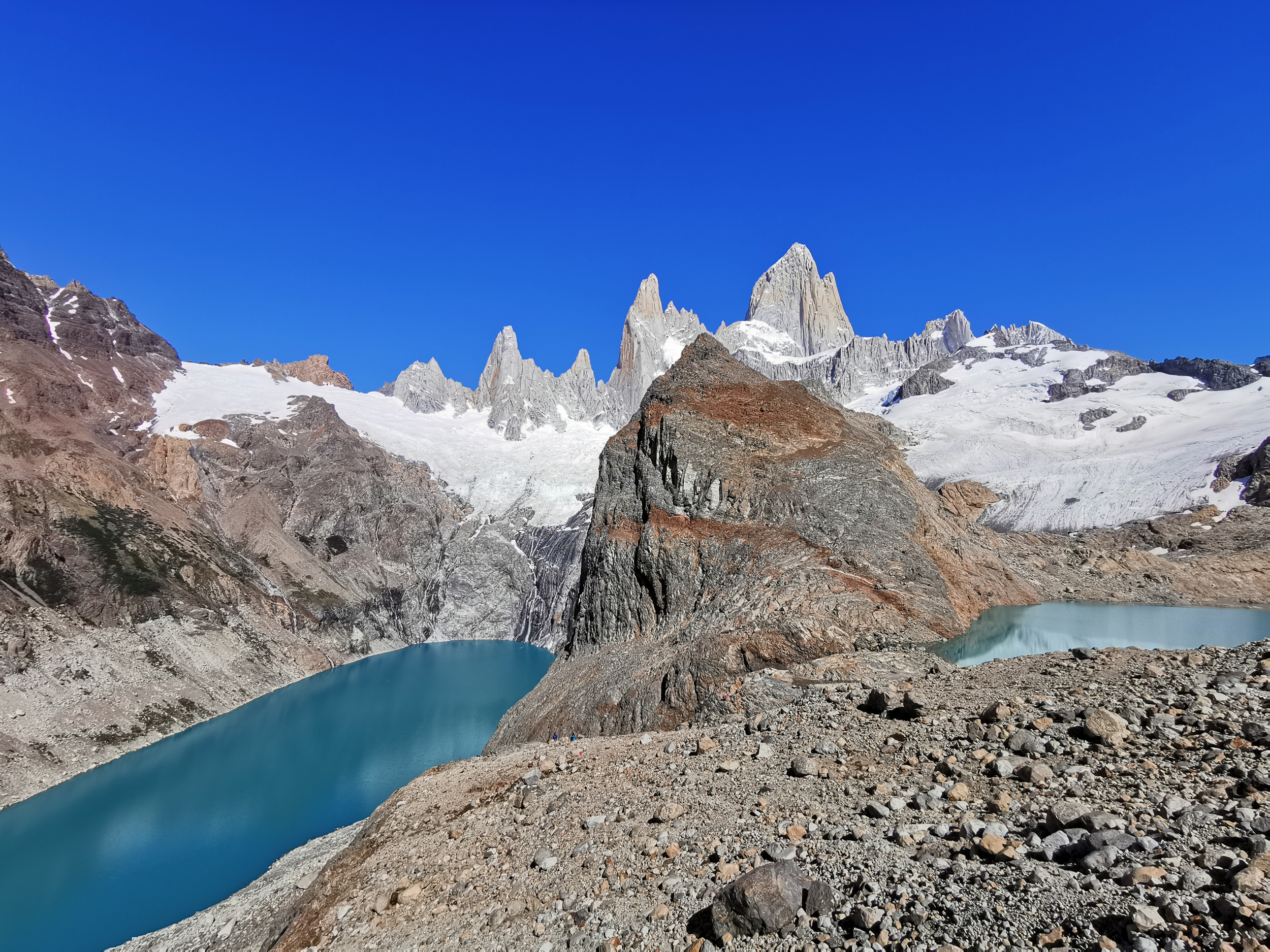
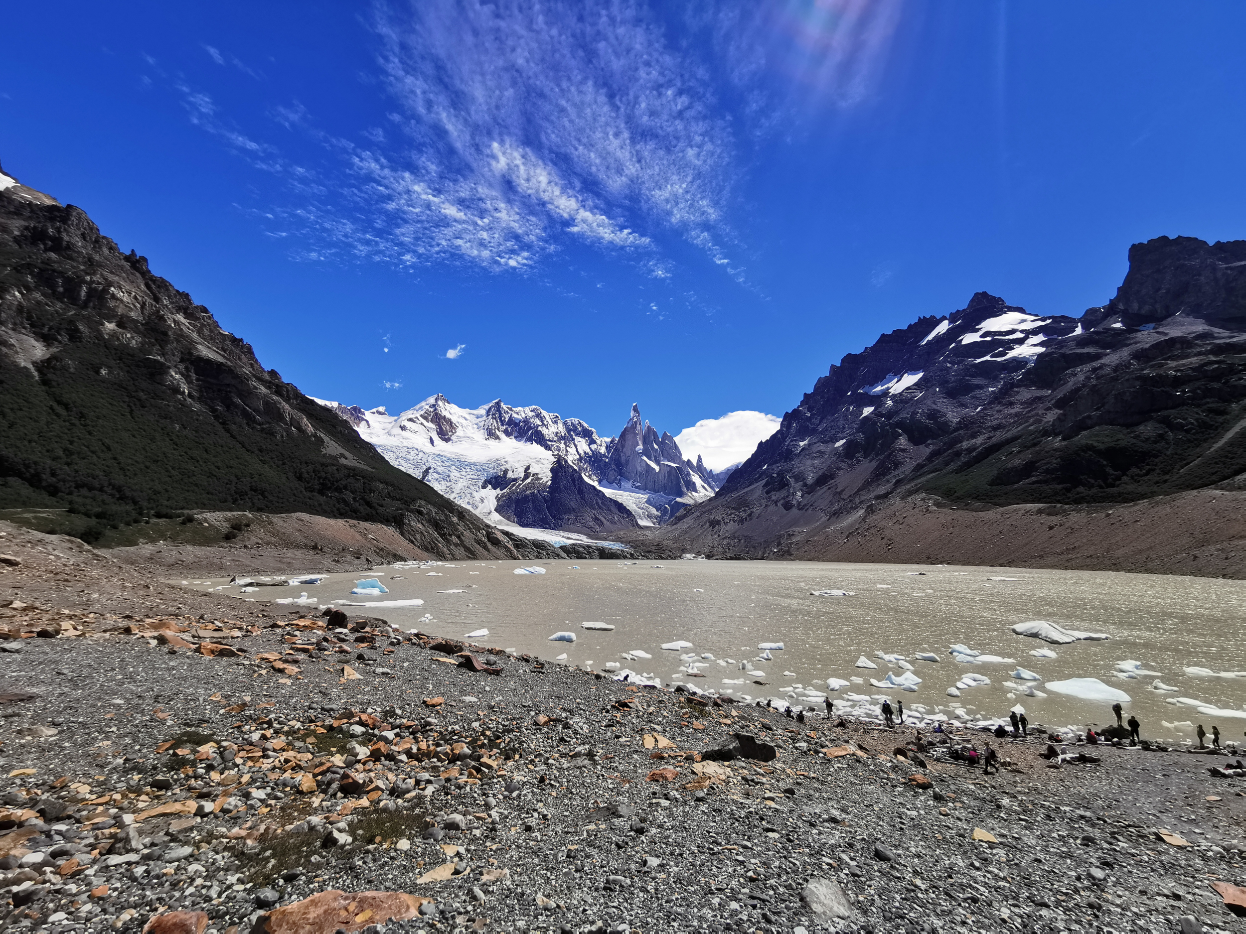
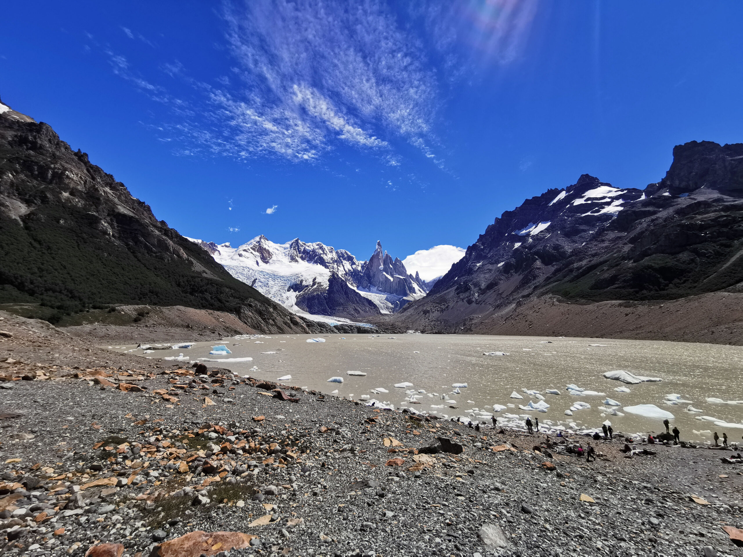
The sheer granite wall of Mount Fitz Roy, known natively as Cerro Chaltén at 3405 meters, is the defining alpine emblem of southern Patagonia. The day hike to Laguna de los Tres brings trekkers directly beneath these soaring vertical towers. With the weather, I was exceptionally fortunate during this hike, as the sky remained almost cloudless blue and Fitz Roy revealed itself in full glory.
El Chaltén serves as Argentina trekking capital, where trails begin directly at the edge of the town without requiring vehicle transfers or entrance permits for day hikers. This route ranks among the premier mountain day hikes on earth, combining scenic valley approaches, native beech forests, and an alpine moraine ascent.
| Location | Los Glaciares National Park, Santa Cruz Province, Argentina |
| Activity Type | Alpine Day Hike |
| Distance | 22 km out and back |
| Duration | 8 to 10 hours |
| Elevation Gain | 1050 m |
| Highest Point | 1180 m (Laguna de los Tres moraine ridge) |
| Difficulty | Demanding |
| Trailhead | El Chaltén northern trailhead (Avenida San Martín) |
| Best Season | December to March |
| Date Visited | January 11, 2022 |
TRAILHEAD AND PLANNING LOGISTICS
The trailhead sits at the northern terminus of Avenida San Martín in El Chaltén, where a large wooden arch and trail map mark the entry to Los Glaciares National Park. The trail is well maintained and marked with distance signposts every kilometer, making independent navigation straightforward.
No entry fees or advance reservations are required for day visitors hiking to Laguna de los Tres. The southern summer months between December and March offer the longest daylight hours and warmest temperatures, although Patagonian winds remain a constant factor. Starting at daybreak allows unhurried pacing and optimal morning lighting across the granite towers.
THE ROUTE AND TRAIL REPORT
Valley Climb to Mirador Fitz Roy: The trail starts with a moderate climb out of the valley, offering panoramic views across the winding Río de las Vueltas. Within an hour of hiking, the trail levels out near the junction for Laguna Capri and reaches Mirador Fitz Roy at kilometer four, providing an open view of the central spires.
Lenga Forest & Campamento Poincenot: The middle section crosses gentle subalpine terrain and stands of native lenga and ñire beech forest. At kilometer eight, the trail passes Campamento Poincenot, a popular wilderness campsite for backpackers, before crossing a sturdy wooden footbridge over the clear waters of Río Blanco.
The Final Moraine Ascent: Just beyond Campamento Poincenot, the trail transforms into a rigorous alpine climb. The path ascends 400 vertical meters over a single kilometer of loose glacial moraine and switchbacks. The gradient is steep, but the path is well defined. Stepping onto the crest reveals the deep turquoise waters of Laguna de los Tres sitting directly below the sheer 1500 meter east face of Mount Fitz Roy.
Laguna Sucia Viewpoint: A short spur trail along the left moraine ridge leads to a spectacular vantage point overlooking Laguna Sucia, a second glacial lake cradled beneath hanging glaciers and vertical cliffs.
PRACTICAL TIPS AND ESSENTIALS
Wind Protection: The crest of the moraine at Laguna de los Tres is fully exposed to severe katabatic winds funneling off the icefield. Pack a quality windproof shell, warm gloves, and a beanie even if the valley feels mild.
Trekking Poles: Having collapsible trekking poles makes a significant difference during the steep, rocky descent down the moraine, saving knees and providing stability on loose gravel.
Drinking Water: Stream water flowing through the national park above the valley floor is glacial melt and considered potable, allowing easy refills along the trail.
PHOTO GALLERY